Here's our latest update:
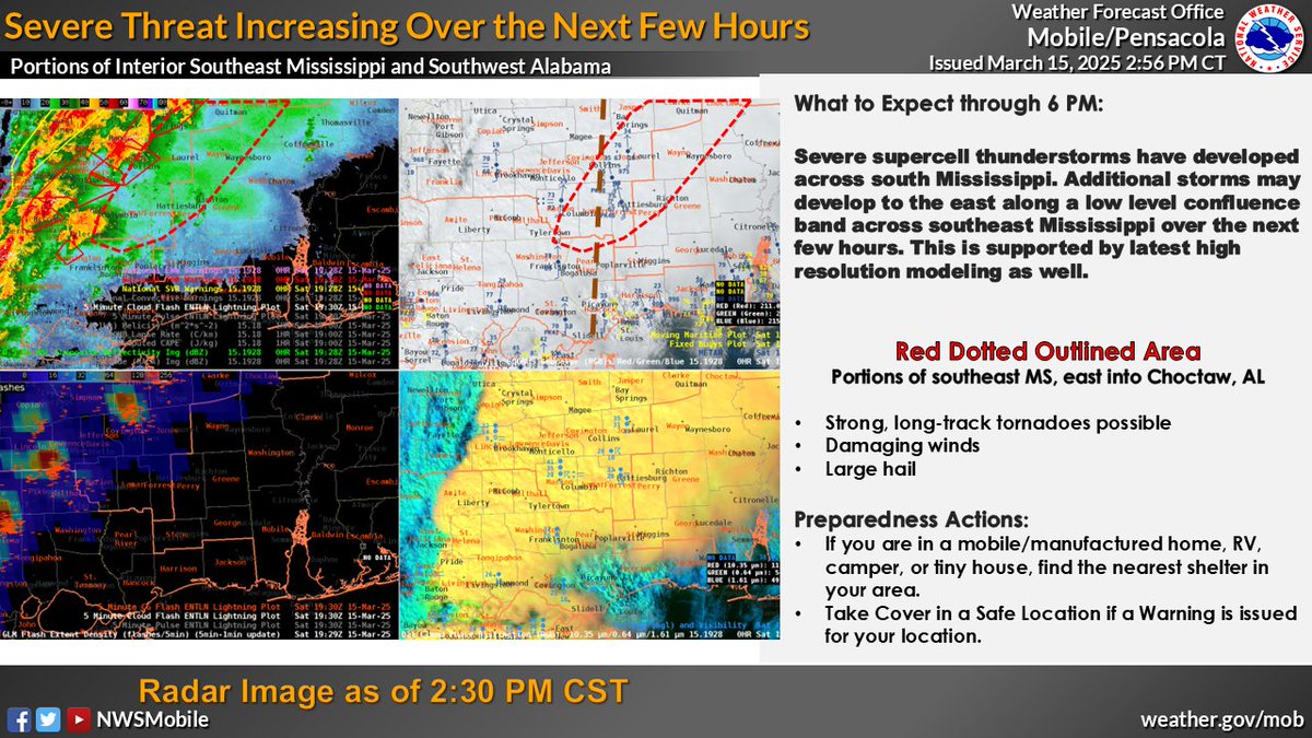
We know the waiting game is stressful and tiring — we feel it, too. But please do not let your guard down. The atmosphere remains supportive of severe thunderstorms across the area.
🔴510pm - PDS Tornado Watch was expanded to include Mobile and Baldwin Counties. This Watch continues until 8pm.
PDS = Particularly Dangerous Situation. #mobwx
🌪️ REMINDER: Tornado warnings mean TAKE ACTION!
✅ Have multiple ways to receive watches, warnings, and updates today - NOAA Weather Radio, apps, and Wireless Emergency Alerts can save lives.
📌 #SeverePrep
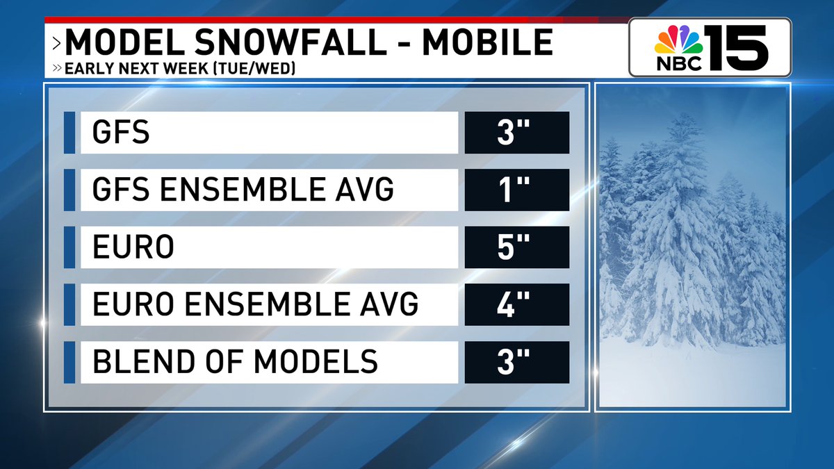
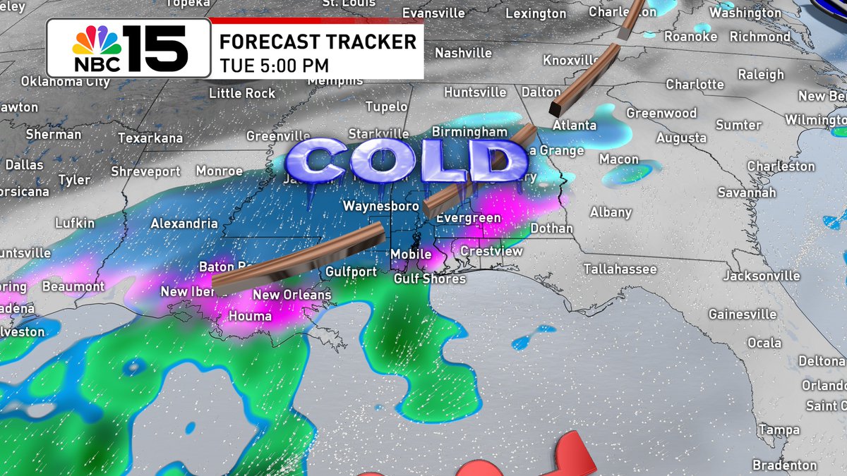
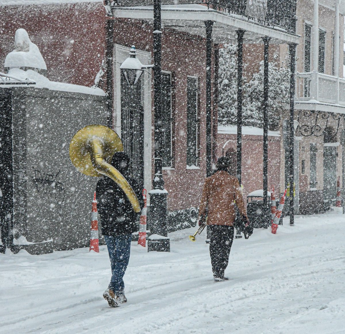
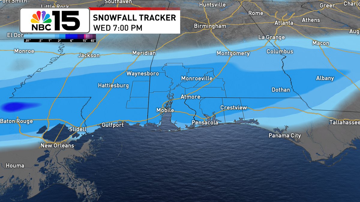
A Winter Storm is likely to impact the @mynbc15 area on Tuesday. Snow, sleet, and ice are all possible. Significant travel impacts are possible Tuesday into Wednesday morning. We'll continue to fine tune the forecast as we get closer. Stay tuned.
https://t.co/880lDsTDjB
While a lot of the focus about next week has been on winter weather potential, don't forget the COLDEST AIR OF THE SEASON so far is expected. We'll see cold days & FRIGID nights with some BRUTAL 🥶 wind chills. Start preparing for the cold now and remember the 5 P's! @mynbc15
#Milton down to 165 mph based on the 10 PM update, but still an extremely powerful Cat 5. Looks like it's going through an eye-wall replacement cycle. Still forecast to make landfall late Wed/early Thu along the Florida Peninsula west coast as a MAJOR hurricane. @mynbc15
Here's a look at the latest #Hurricane & Storm Surge Watches issued for parts of the Florida Gulf Coast. #PTC9 rain totals look to add up to 3-6" with isolated areas collecting around 10" https://t.co/880lDsTDjB