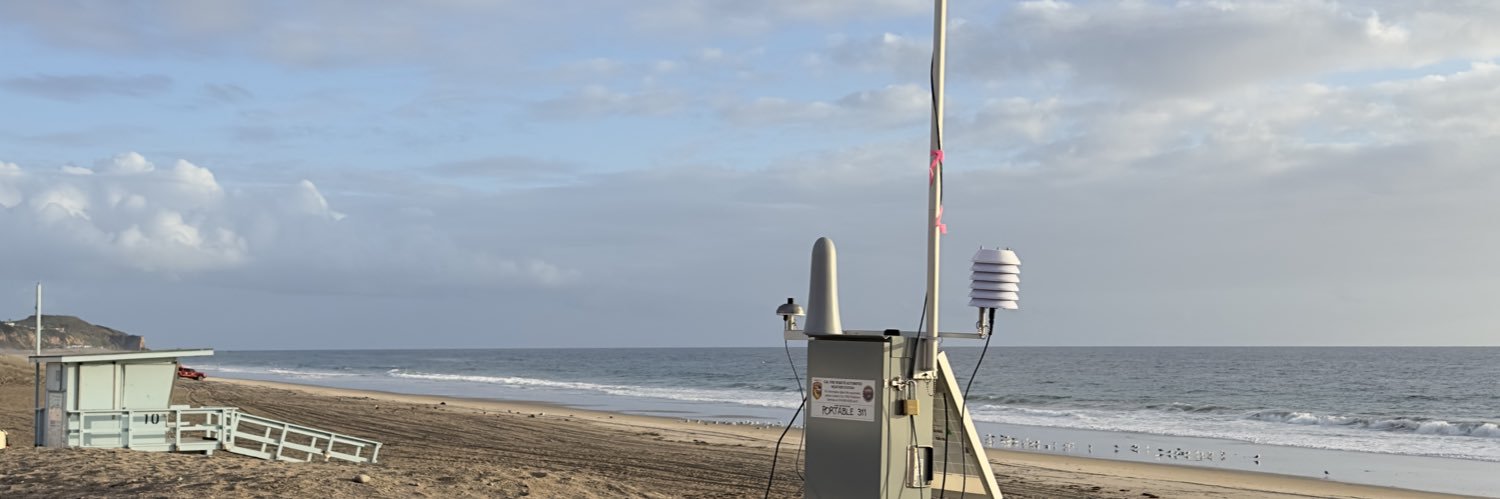
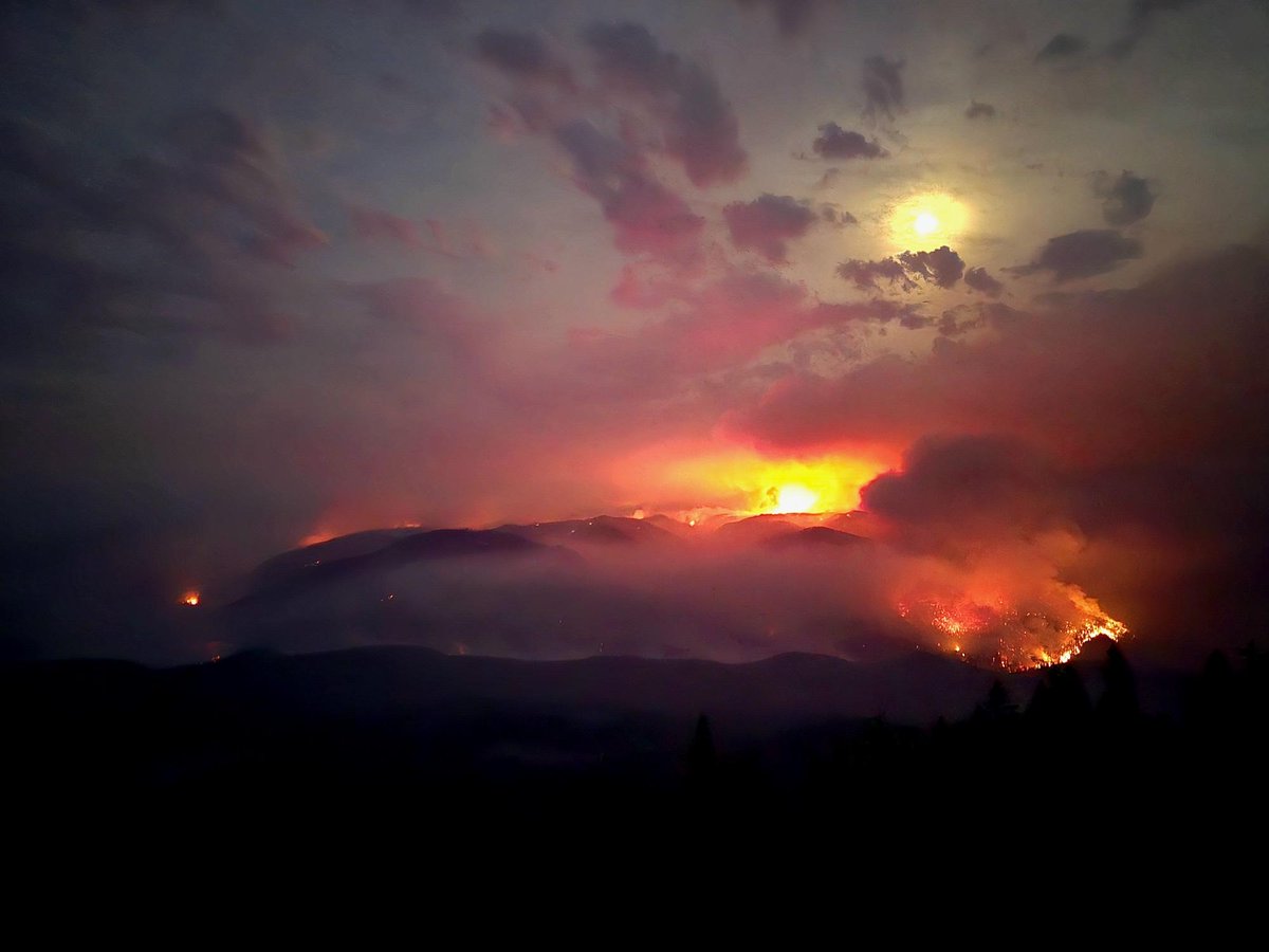
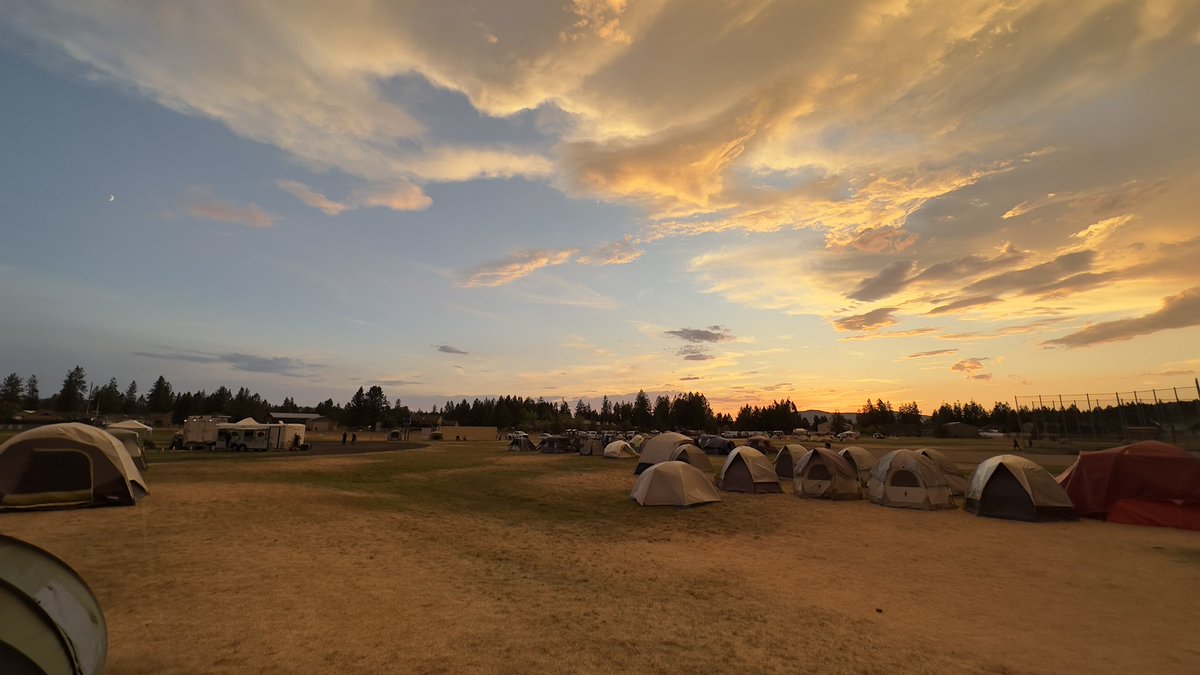
A successful @NWS_IMET_OPS mission to Eastern Washington for the Lake Spokane fire 🔥 I was fortunate to work with NW Team 2 whose dedication, focus, and collaboration with the local community ensured a safe and professional outcome. I look forward to working with you all again!
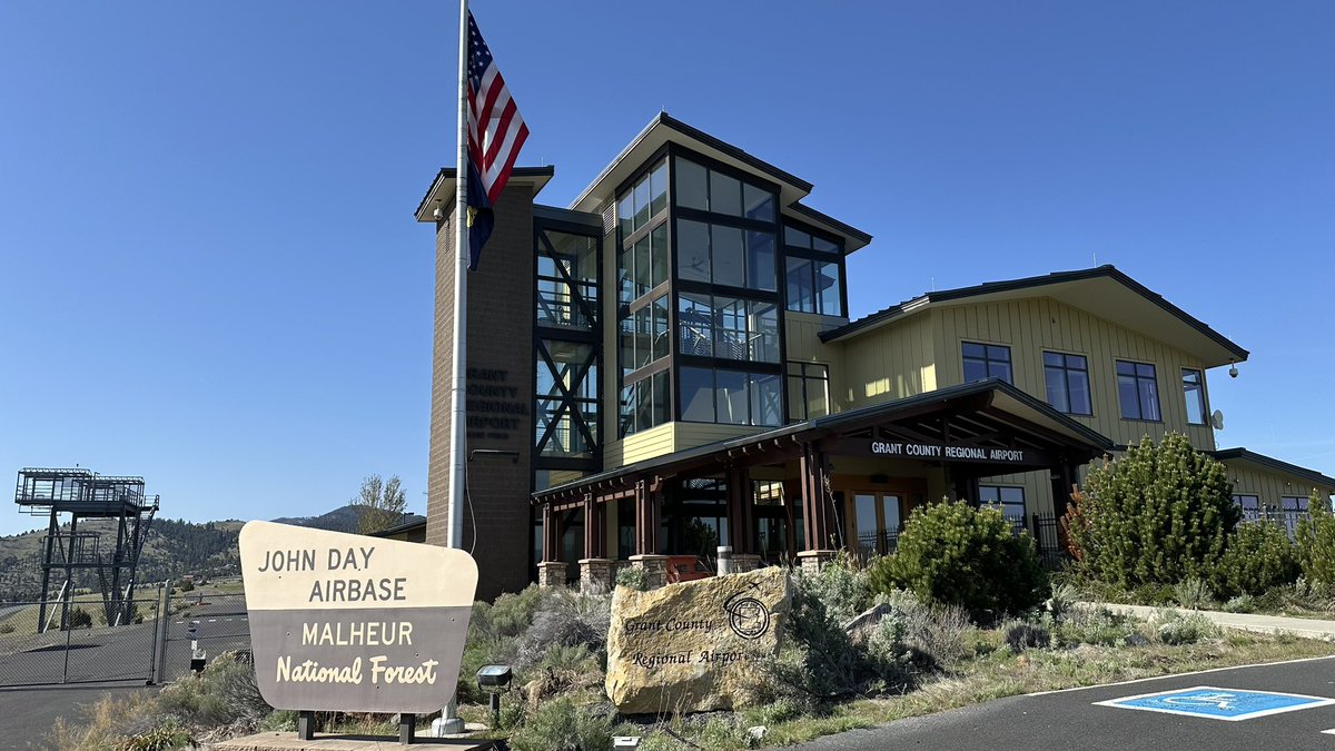
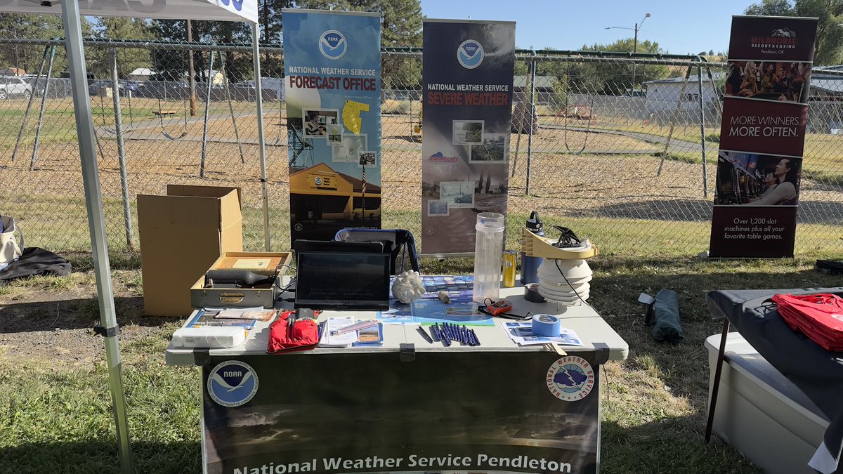
A beautiful day in John Day today, talking with the Malheur Rappel Crew and the John Day dispatch about the 2025 fire season outlook, fire weather refresher, and new products/services from the @NWSPendleton#firewx#catchingexcellence
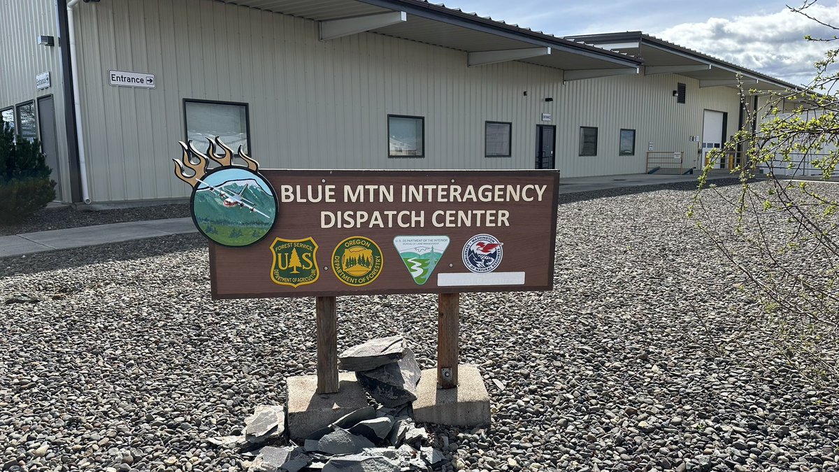
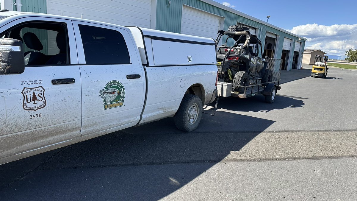
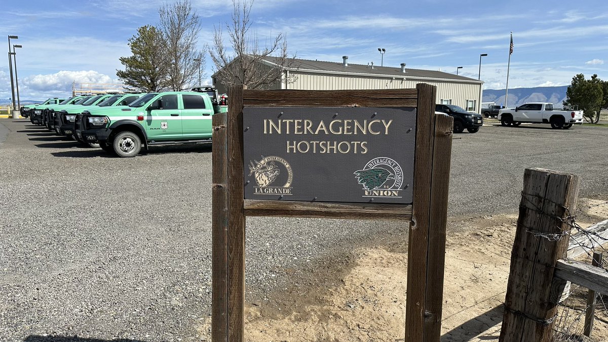
It was a great day in La Grande as I conducted a fire weather refresher and 2025 outlook for the La Grande Hotshots and stopped by the Blue Mountain Interagency Fire Center. Thank you so much for hosting me! #firewx#catchingexcellence
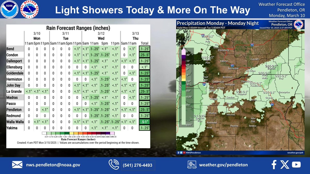
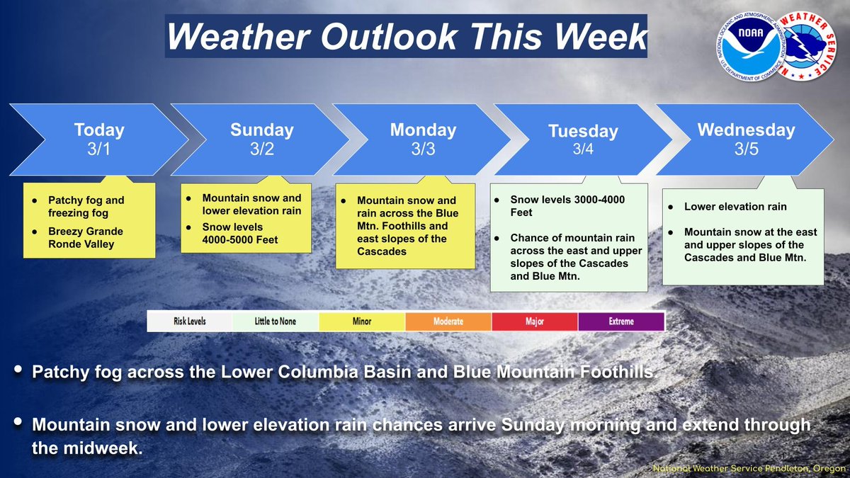
After a warm a dry weekend, times they are a changin'! Light showers for mountain and foothills zones today will become more widespread late Tuesday onward as the weather pattern becomes more active with several systems passing the area. #wawx#orwx
Breezy winds today, with highest winds over the Grande Ronde Valley, Simcoe Highlands, and the Yakima/Kittitas Valleys. Winds peak over the Grande Ronde Valley this morning, peaking elsewhere later this afternoon and evening associated with a passing cold front. #orwx#wawx
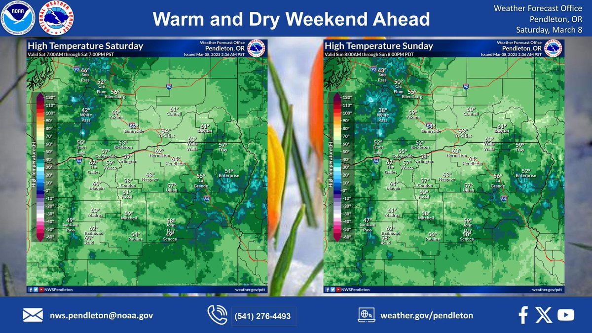
The copier is stuck! Similar high temperatures across the region today and Sunday, with highs reaching into the mid-60s across Central Oregon, Blue Mountain foothills, and the Lower Columbia Basin - which is about 10 degrees above normal. #wawx#orwx#MeteorologicalSpring
Warming temperatures continue through the weekend, peaking on Sunday with high temperatures reaching about 10 degrees above normal. Conditions will also stay dry as an upper level ridge moves into the area. #wawx#orwx#warming
Breezy winds will be widespread today, with the highest winds expected to occur across the Grande Ronde Valley. Gusts of 30-40 mph will be possible along the Interstate 84 corridor from La Grande south. #wawx#orwx#breezy
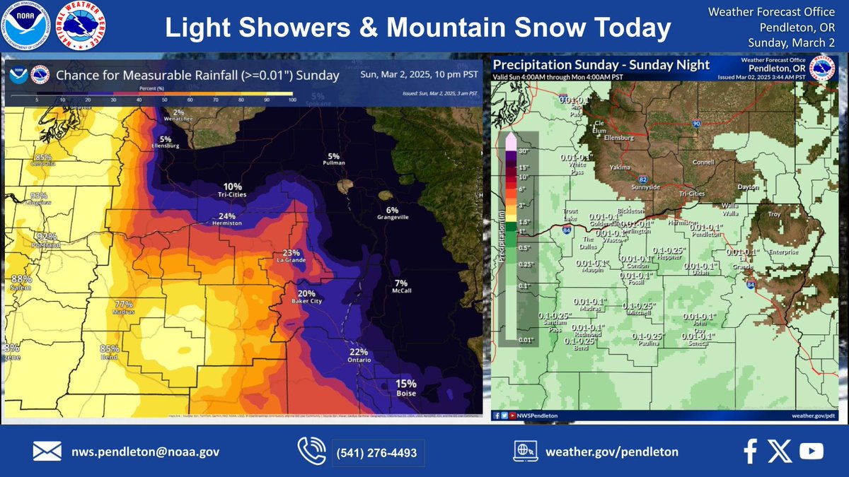
Light rain and mountain snow will move into the region from the southwest this morning before extending into the Basin and Blue Mountains through the afternoon and evening. Minimal rain and snow amounts expected. #wxwa#orwx
Patchy, freezing fog will linger across Lower Columbia Basin and Blue Mtn. Foothills this morning, along with breezy winds over the Grande Ronde Valley today. Mountain snow and lower elevation rain chances will arrive Sunday morning and extend through the midweek. #wxwa#orwx
Working this Thanksgiving, but feeling grateful for the opportunity to serve and connect. Wishing everyone a Happy Thanksgiving filled with gratitude, love, and good food! 🦃🍂 #Thanksgiving2024
Here at NWS Pendleton we are thankful for the privilege of serving all of the communities in our area. Wishing warm tidings from us to you through the Holidays, and hoping for you the best.
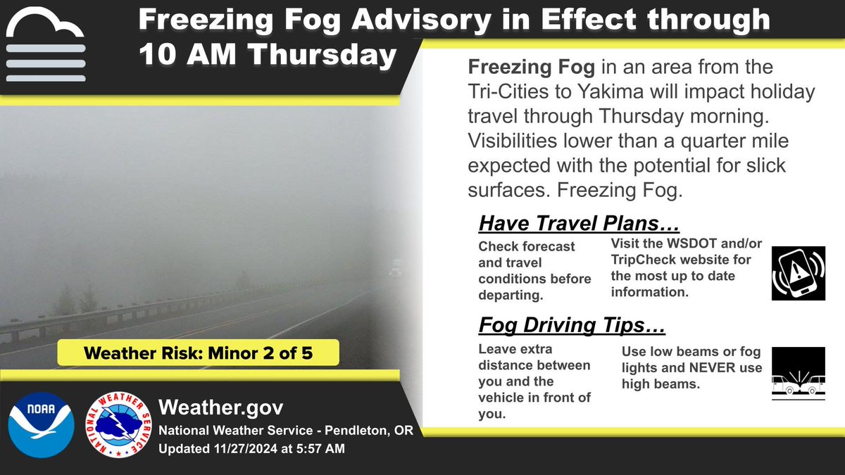
A Freezing Fog Advisory is in effect due to freezing fog restricting visibility to less than a quarter mile, and creating slick surfaces. The main areas of concern are from Yakima to the Lower Columbia Basin. #wawx
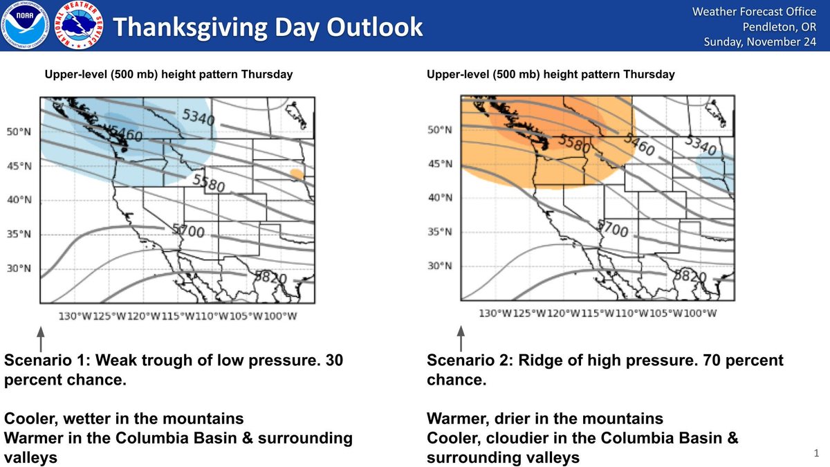
Guidance hints at two main forecast scenarios over the Thanksgiving holiday. The frontrunner (70%) suggests an incoming ridge of high pressure which would lead to warmer, drier conditions in the mountains with cooler and cloudier conditions across the Columbia Basin. #wawx#orwx