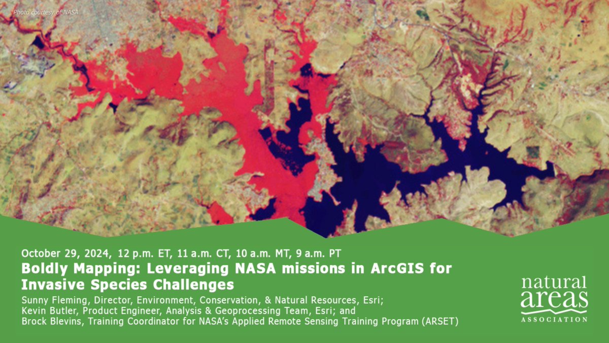
Register for this webinar featuring @NASA and @Esri hosted by the @naturalareas! Join us to explore various satellites and missions including familiar ones like Landsat and MODIS, as well as exciting new missions like GEDI, HyMap and others. https://t.co/pejIecwQXI
Parks + planning departments aren't new, but add GIS, and planners can collaborate more directly than ever before - from locating green spaces to park design, meeting stakeholders and residents' needs today and tomorrow! https://t.co/a5a9eBfqd6
Learn how parks are using #GIS for smart operations, community health, equity and climate resilience and how @Chattanooga is using the technology to become America's first "National Park City." #parksandrec#parks#ArcGIS https://t.co/rLLHXcb2fM
📢Just in time for @NRPA_news#ParkandRecMonth check out this new story of how @DesMoinesGov created a smart map of their multiuse trails to help park planners keep a popular network in good repair, addressing a backlog of deferred maintenance projects. https://t.co/zokQk2aEsA
📢Calling all environmental professionals! We created an Esri Community just for you! Join to learn about the latest and greatest tips and tricks. Ask questions and get answers from your peers and Esri experts! #environmentalprofessionals#GIS#environment https://t.co/OBSYfTh7pc
For the Montana Department of Natural Resources and Conservation, maps help ensure that economic stimulus funds are divided equitably among its various communities. @MTDNRCFIRE #infrastructure#equity#ARPA
Click below to learn more. ⬇️ https://t.co/NQ8GIMjuNf
New Webinar ‼️
Join @EsriTransport and a panel of experts from leading transportation agencies for a discussion on how GIS can serve as the foundation for building stronger & more resilient transportation networks. @NAEPtweets
🔹 Register now. → https://t.co/GKxUQzq6FH
🚨 New EBook!
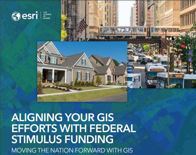
Explore how governments can leverage federal funding from programs such as the American Rescue Plan Act, to achieve their GIS goals and progress the health, economy, infrastructure, and equity of our communities.
🔷 Download today! → https://t.co/rd4rpSOfz7
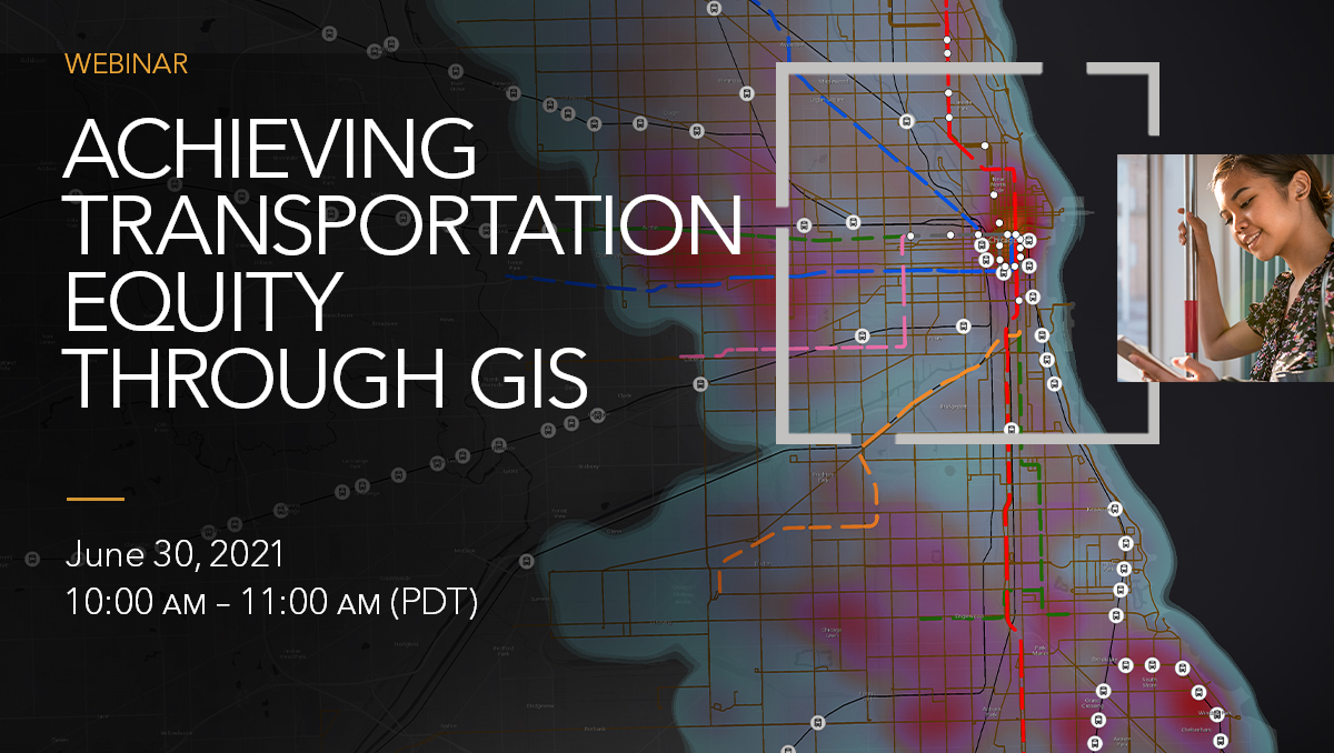
We're excited to announce that KeAndra D. Cylear Dodds from LA Metro is going to join us to discuss her experiences around achieving transportation equity! Join us for this upcoming webinar, Wednesday June 30th. @Kdodds@metrolosangeles
Register today 👉 https://t.co/7U7iSyUjGE
Combining the power of location with a critical eye towards inequity can yield better outcomes for all. Register for this upcoming webinar to learn how GIS can be applied to ensure more equitable transportation planning. https://t.co/AyUFn98j4a
Mark your calendar for our next webinar on June 30! Reserve your virtual seat to explore how to achieve transportation equity through GIS. Join us to learn more about the capabilities of GIS, see real examples, and engage with industry experts.
https://t.co/QqUpaBxAep 🚗💨
Esri's Chief Scientist Dr. Dawn Wright @deepseadawn will keynote the National Association of Environmental Professionals 2021 Conference @NAEPtweets next Tuesday, 5/18!🌎🗺️ https://t.co/Pd7X6aX9Zb
Esri's Policy Maps Team is hosting a hands-on workshop on Monday 5/17 at the National Association of Environmental Professionals 2021 Conference, "Using Maps to Drive Environmental Policy." @NAEPtweets@LivingAtlas https://t.co/ZtSh23VUYy
What better way to celebrate #EnvironmentalProfessionalsDay than by listening to the EPR podcast with one of our favorite environmental professionals & Esri Chief Scientist @deepseadawn (who happens to also be celebrating her birthday today!🎉)https://t.co/OtiRd69OOP #ThankYouEPs