@EjHass@MatthewCappucci Yeah this sounding was in Duncan, OK early before there was much surface heating (hours before CI). Clouds cleared up right after there and temperatures soared, so I’m sure the cap eroded away.
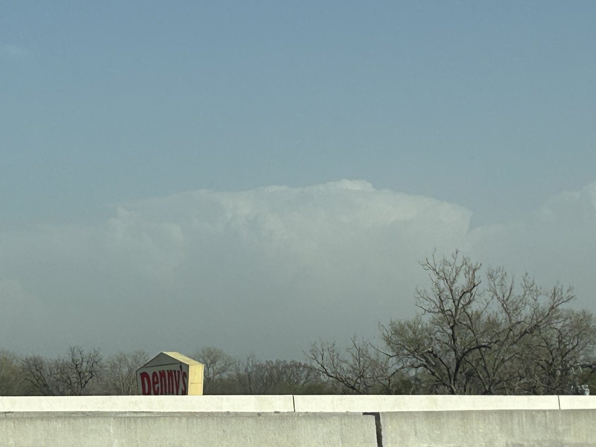
Views from my drive back to CStat from Norman today, where I followed closely behind the cold front. First saw the tops of storms over 100mi away on i35, then made it back just in time to see beautiful initiation around Houston. #txwx
Hi @SLDelta45@NWSMelbourne , went on some radiosonde hunting today and was able to get 1/5 ones I searched for (trees/private property for the rest). Wondering why the 11+ balloon launches within 12hrs from the 45th Weather Squadron? Thanks!
Some videos of the large, EF3 tornado in Hitchcock County, NE from Sunday. I’d say for my first ever chase, my target location of Imperial, NE was pretty good. I’m loving it out here in the Great Plains for the summer #newx#tornado
Great job by the SPC today. Absolutely nailed this forecast for an upper-echelon tornado outbreak. I don't think many people were expecting a High Risk today, including myself, but it was certainly warranted in hindsight.
Somehow they let me “fly” Kermit?!?! Very grateful for Nick Underwood @TheTropicNick taking AMS Gator Chapter on a tour of the NOAA Aircraft Operations Center in Lakeland, FL. #hurricanehunters#noaa#nhc
It's no secret that apart from the Barnsdall, OK supercell, most of the well-established storms yesterday struggled to develop low-level mesocyclones and produce tornadoes as a result.
However, when comparing yesterday's forecast soundings to the more than 300+ soundings from...