Michael Baker International Mobile LiDAR - topics of interest related to Mobile LiDAR and complementary technologies: Mobile Mapping, GPS and Surveying.
Congratulations to Aaron Morris, GISP, National Practice Executive, who was elected to the national Board of Directors for MAPPS during the 2025 Summer Meetings and Conference. Michael Baker is proud to celebrate our 40th anniversary as a member.
https://t.co/y0Lm4ugqWZ
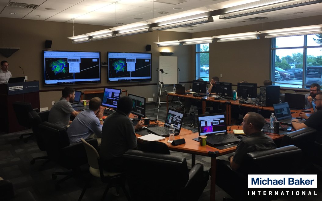
This year, Michael Baker is celebrating 15 years of Mobile LiDAR. Today, Michael Baker is the recognized leader in the LiDAR profession and is the trusted provider of Mobile LiDAR services to federal, state, municipal and commercial clients. Congratulations!
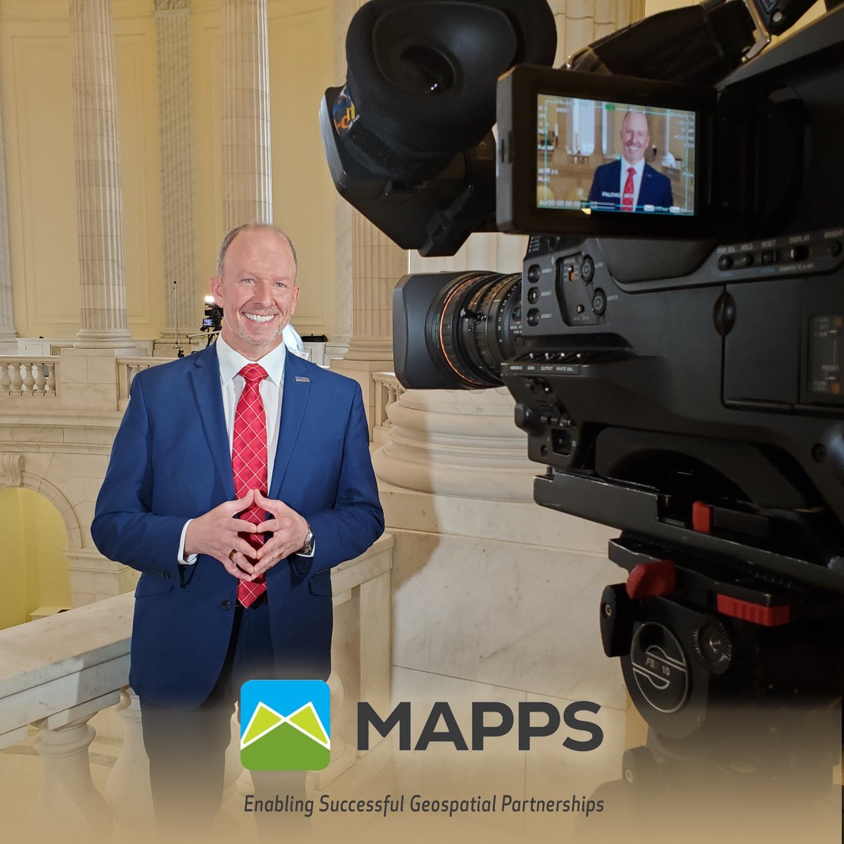
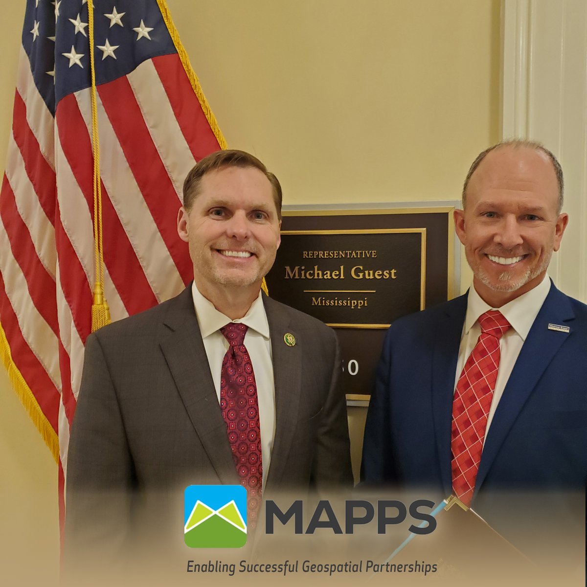
As we closed out the Federal Programs Conference with a day on Capitol Hill, here's MAPPS' dedicated Treasurer, Director Morris, helping to advocate for what matters most to the geospatial profession!
#Advocacy#Leadership#CapitolHill#HillDay
Need CORS data while in a government shutdown and UFCORS doesn't work through NGS? Go to their FTP site at: ftp://www.ngs.noaa.gov/cors/rinex - Navigate the data by year, GPS day, CORS site designation and UTC hour (a-x).
First new GPS III satellite launches tomorrow! Expected to be "three times more accurate than the current satellites." First satellite is nicknamed Vespucci. I wonder if that's how it'll show up listed on our receivers.
https://t.co/t2kA6QCD4N
If you’re attending @URISA's GIS-Pro & @CalGIS 2018 in Palm Springs, Calif., this week, be sure to stop by booth 411 to speak with @MBakerIntl experts. Visit https://t.co/OHh8cNxzPB for more details on the conference. #URISA#CalGIS
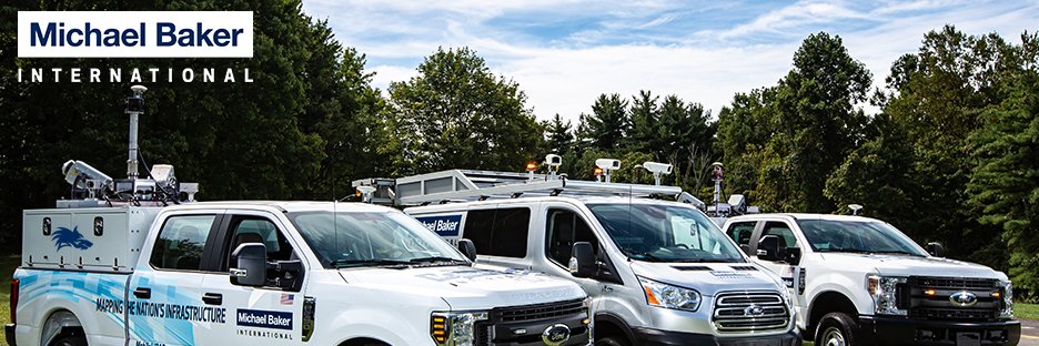
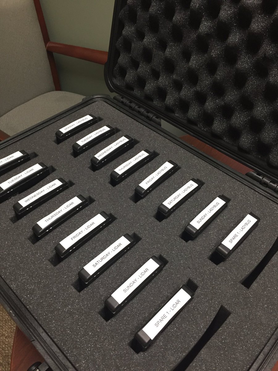
One of our @mbakerintl#mobilelidar crews is starting on another airport this morning. Clear skies and minimal traffic makes for a great day of collection.
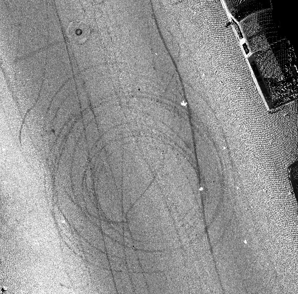
Embedding #mobilelidar data in ArcGIS storyboard "Landmark at Risk: Protecting the Historic Seaport of Annapolis, Maryland" https://t.co/4ORmYf14zh spotted in Adapting a Landmark
We've just launched the only #NG911 solution designed and built for #GISData providers and #911 authorities, DATAMARK VEP. Read the full release here: https://t.co/Rb4a0JaauL
There's a long history of providing Geospatial services in our firm. I wonder how people will look at #mobilelidar in 60 years. https://t.co/pKCfTyhHId
The aviation industry has begun to embrace the use of #drones in the past few years. One example: @MBakerIntl is working with @ATLAirport to use #UAV for runway inspection: https://t.co/eGMlH2RR3D