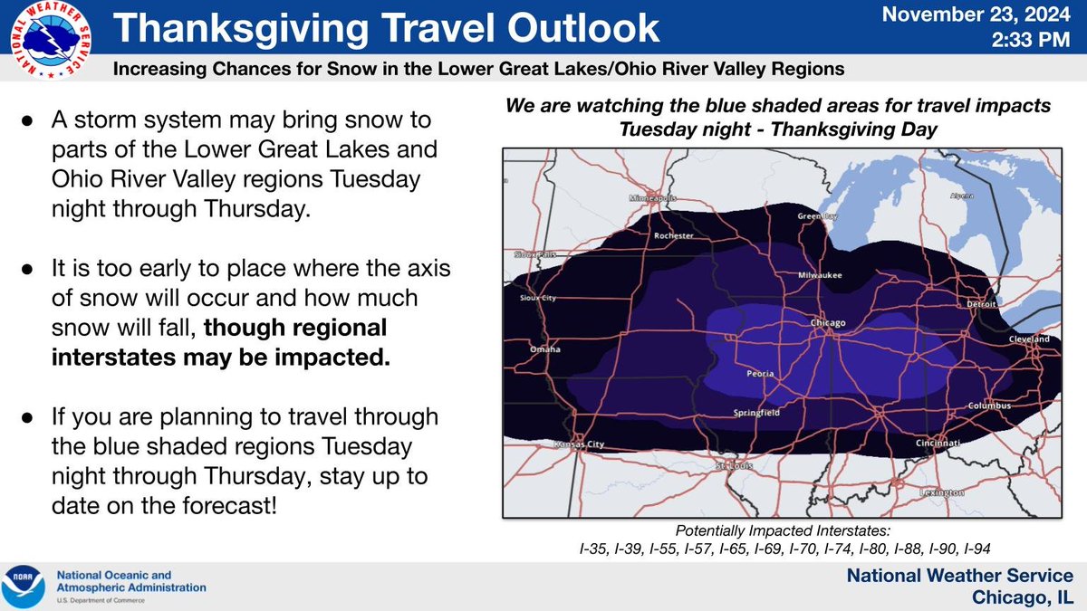
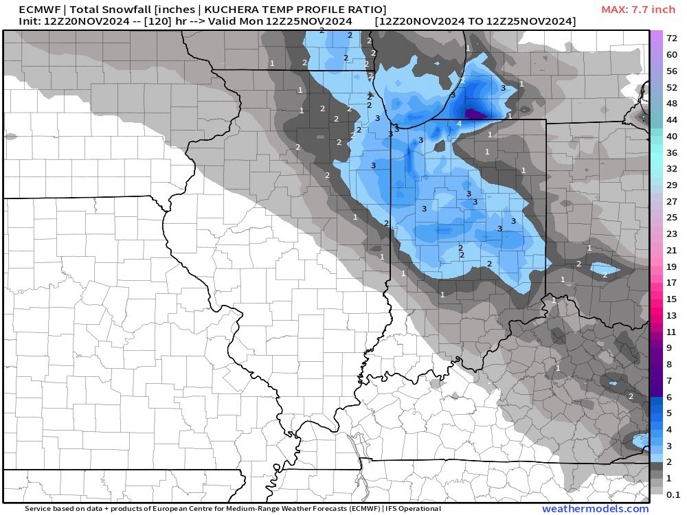
Planning to travel through the Lower Great Lakes region in the Tuesday night through Thursday night timeframe? Be aware that a storm system may bring waves of snow which may impact regional interstates. Stay up to date on the forecast!
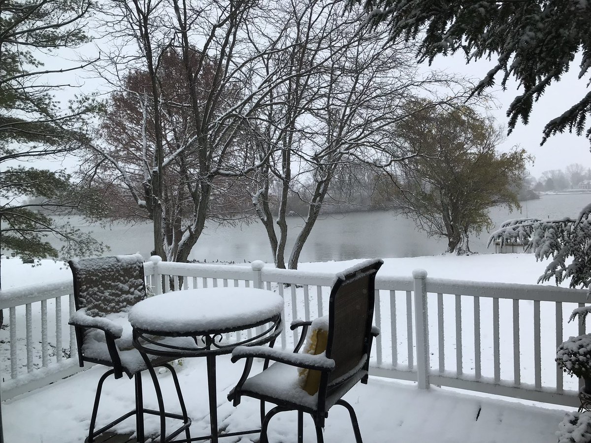
515 PM, snow is now mixing with rain, temperature up to 32 F. 2.4 inches of snow from second round, 3.5 inches total with just under 3 inches on the snowboard, less on grassy areas but some snow on the rural roads.
WOW! 🎯
New data on the latest European model run on target to blasts the lower Great Lakes with a powerful storm. This storm has some very unusual characteristics.
DEEPER LOOK: This storm will rapidly develop in what would appear to be “Out of thin Air” late Wednesday into Thursday. Strong storm dynamics aloft (500mb Jet Streak over 100kts) will support rapid intensification of a surface low pressure into Ohio. This rapid development will draw cold air deep into the system. Sufficient cold air aloft drawn far into a negatively tilted trough may bring some snow chances deep into the southern fringe of the storm. Wind, rain and possibly snow are all likely components of this storm.
I’ll be honest, snow accumulations are a very real possibility in such a dynamic storm. It’s FAR too early to tell and still most likely it is little to no accumulation except for some elevated surfaces. Stay tuned.
@sneedindeed Snow deprived people like myself have to have some hope even when it most likely never will happen. Need the precipitation though, the three year drought is concerning.
It’s November 12 and I haven’t turned on the heat yet. Even better I’m still harvesting tomatoes and peppers. It looks like another week or so until the cold weather sits in,
This was day twelve of ‘0’ recorded precipitation. Only twice since I started measuring for @CoCoRaHS that were longer, 9l14 - 9[27/2020 and again in the fall of 2017 (13 days). My records start in 03/2012. We have a decent shot at greater than 21 days rainfree, 1/