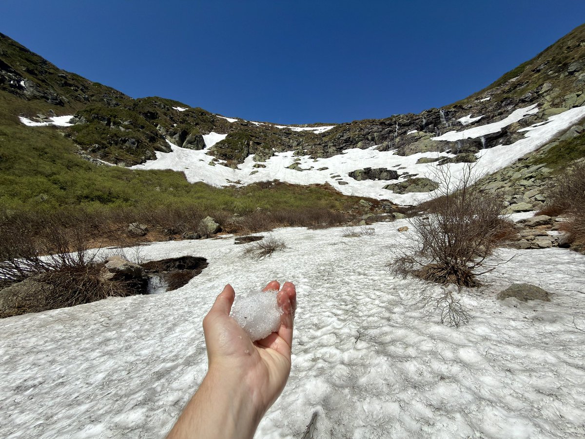
As we head into the final week of June our AI subseasonal model is predicting that the Eastern US is most likely, relative to the rest of the Northern Hemisphere, to enjoy relatively refreshing temperatures. Similar to this past winter but now translates into comfortable weather
When it comes to El Niño, atmospheric changes matter just as much as changes in sea temperatures.
That's because it's a coupled ocean-atmosphere phenomenon.
Looking at velocity potential, which marks areas of rising air (green) and sinking air (brown) in response to warming and cooling tropical seas, a very strong atmospheric El Niño response is forecast during the months ahead — with abundant rising air above the Pacific.
That response is predicted to be similar to or even more intense than past super El Niño events, such as in 2015, 1997 and 1982.
A positive Indian Ocean Dipole is also looking increasingly likely to develop later this year, which would reinforce El Niño's effect by causing yet more sinking air over Indonesia.
However, because warm water is forecast to extend farther west in the Pacific than during the most recent super El Niño events, there may also be more rising air farther west this year. This could influence the weather patterns that this El Niño produces.
The atmospheric response in 2026 is forecast to be much stronger — and markedly different — than in 2023.
These changes in rising and sinking air arise from warm ocean waters shifting from west to east across the tropical Pacific, leading to more thunderstorms in the eastern Pacific and fewer in the west.
This, in turn, influences weather patterns across the globe by altering jet streams and storm tracks, as these thunderstorms release heat into the atmosphere.
Such long-distance links between weather patterns are known as teleconnections.
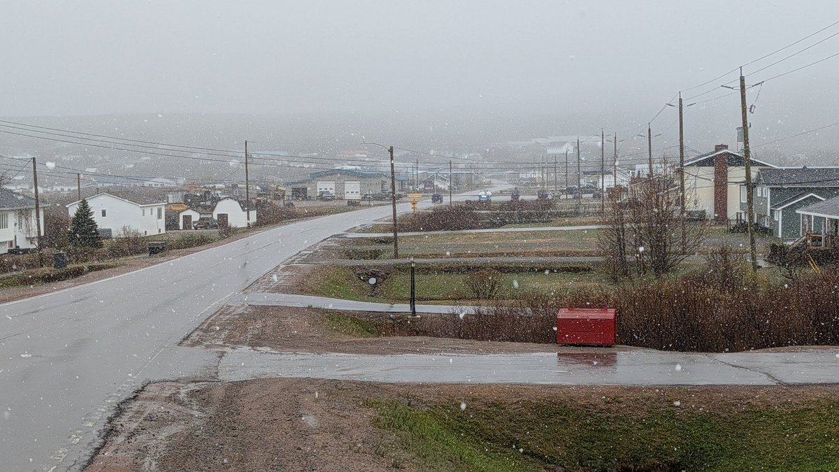
Winter's "one last tour" continues. Snow showing up in the guidance for parts of #NLwx, yet again.
Any accumulation should be confined mainly to high elevations, because it'll be June 8 after all. The season, however, seems intent on stretching this farewell as long as possible.
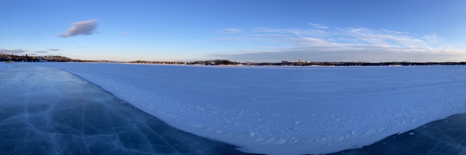
This morning's low of -3.1°C at St. John's #YYT is the coldest on record for this late in the season. Previous latest to reach that value was June 2 (in 1970). Data since 1942. #nlwx
Happy June 5th!
Fresh snow coating the ground on the higher terrain along the Labrador Straits. Pics taken moments ago on the Battery, 3 km east of L'Anse au Loup (200 m elevation).
Also wet snow at low elevations, but not accumulating. #nlwx