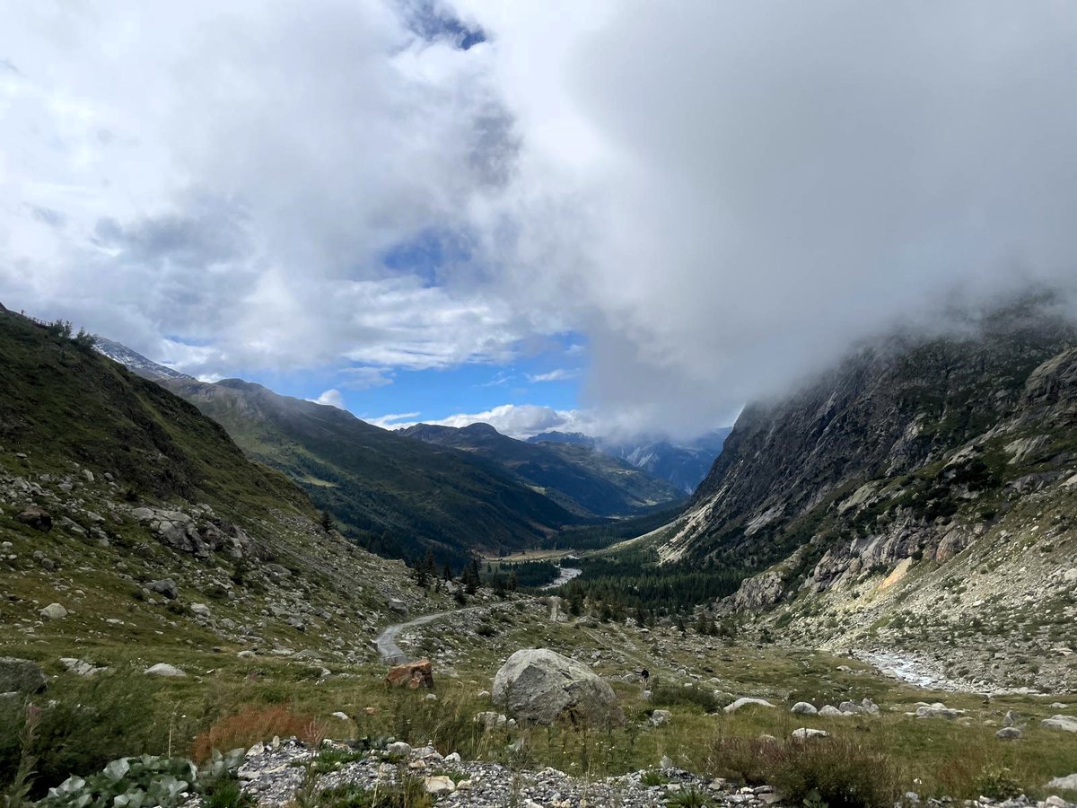
@GENEGIS_GI al lavoro nella produzione della cartografica di base per la verifica dello stato di consistenza geologico ed idrogeologico nei Fogli 068 "Monte Bianco" e 069 "Gran San Bernardo”.
#ProgettoCARG (Carta Geologica d'Italia).
#Rilievi#CambiamentiClimatici
So many great presentations today! That's a wrap on Day 7 of #FMEWorldFair! Here's the daily recap on the #FMECommunity:
👉 https://t.co/joDEZYbGUr
Register today and take advantage of the event features before it ends this Friday! https://t.co/Ho2jgBC6fn
Challenge accepted! Here is a transition between surface area of US counties and their associated population. This arguably provides a much more accurate reading of the situation. @observablehq notebook: https://t.co/wdfMeV5hO4 #HowChartsLie#DataViz#d3js
#savethedate il 14 Novembre GENEGIS GI celebra il GISday 2018 aprendo le porte della sede di Torino.
Lo staff al completo sarà a disposizione per tutta la giornata in un'atmosfera informale e di festa.
https://t.co/n97PXUfPXJ
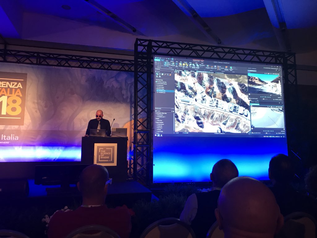
Presenting point cloud processing with #LAStools within #FME at #FMEWT2018 in Milan and Naples. Thanks to Martin Isenburg CEO of @rapidlasso for the support.
Retelit, TomTom e l'Agenzia per la Protezione Civile di Bolzano sono gli ospiti presenti all'FME World Tour 2018. Vieni a sentire direttamente dalla loro voce come usano FME per trasformare e integrare i loro dati geografici.
Registrati qui https://t.co/1A5cuR2GCf #FME#FMEWT
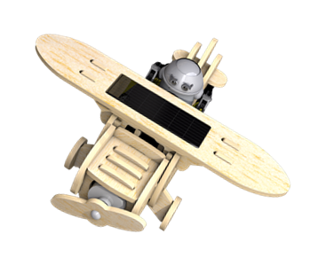
Vieni a scoprire cosa ti aspetta all’FME World Tour 2018 e partecipa all’ #FMEaircraft contest >>> https://t.co/75V6SKTc0x
Clicca qui per registrarti https://t.co/VCVMK4DTA0
#FME#FMEWT@SafeSoftware@FMEEvangelist