At present we’re not actively posting on Twitter (X).
You can contact us or discover more about Scotland’s National Library here > https://t.co/5ZQ7dgXklX
We're also on Instagram, Facebook and LinkedIn > https://t.co/upRyNKp4iU
For today's #MapMonday here's a beautifully drawn enclosure map of the open fields, ings, commons and wastelands of Bishop Monkton, 1816, from the Ripon Corporation Archive (ref:- DC/RIC)
📖 Do you know any book lovers?
@natlibscot is asking young people to share the books & publications that they love. Some of these will feature in their exhibition next summer, celebrating books and the value of libraries around the country.
👇
https://t.co/V3mmUiHosK
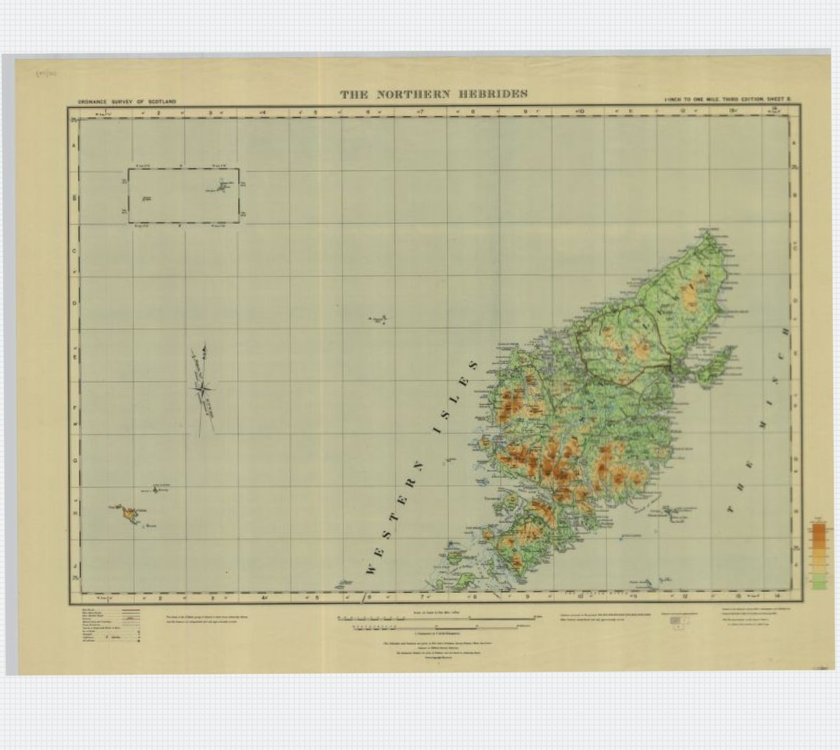
#OTD 1930 the residents of St Kilda were evacuated to the mainland. This @OrdnanceSurvey quarter inch to the mile map reminds us how remote St Kilda (lower left of map) lies. https://t.co/2yjtCQTPvp #StKilda#HistoricMaps
We can't wait for this first #ScotGeolFest24 weekend event in Arbroath! Head to the Signal Tower Museum on the 31st and 1st to explore the geology of the area, and catch a talk on "how geology shaped us" by local geologists Morag and Robert at 10:30 or 13:30 both days!
We'll be kicking off our 2024-25 Inspiring People talks programme week commencing 16th September, with Polar scientist Mark Brandon and broadcaster George McGavin!
Book your tickets now at https://t.co/qmmGJHcJos
As part of this year's Scottish Illustration Festival in Huntly I was invited to create a new map of the town, highlighting locations related to Scotland's "father of fantasy fiction" George MacDonald ... 🧵
Historic maps can provide a window into the past. Discover how to find, view, compare and annotate historic maps with our free Navigating the Maps Website workshop 14:00 - 15:00 BST Wed 4 Sept 2024.
https://t.co/25pO0Djjjx
Obsessed with this project in Northampton Station – they’re trying to collect a ticket to there originating from all stations in the UK. Surely some of you enthusiasts would travel there from somewhere random just to help them tick a box?? 🚆
Happy #MapMonday! 🗺️
This 1878 map of Larne was created by Robert McCartney. The map lists the names of those who occupy various buildings/land in Larne with a coloured reference that indicates how they were held.
Image reproduced courtesy of Lord Antrim
PRONI ref – D2977/36/2/9
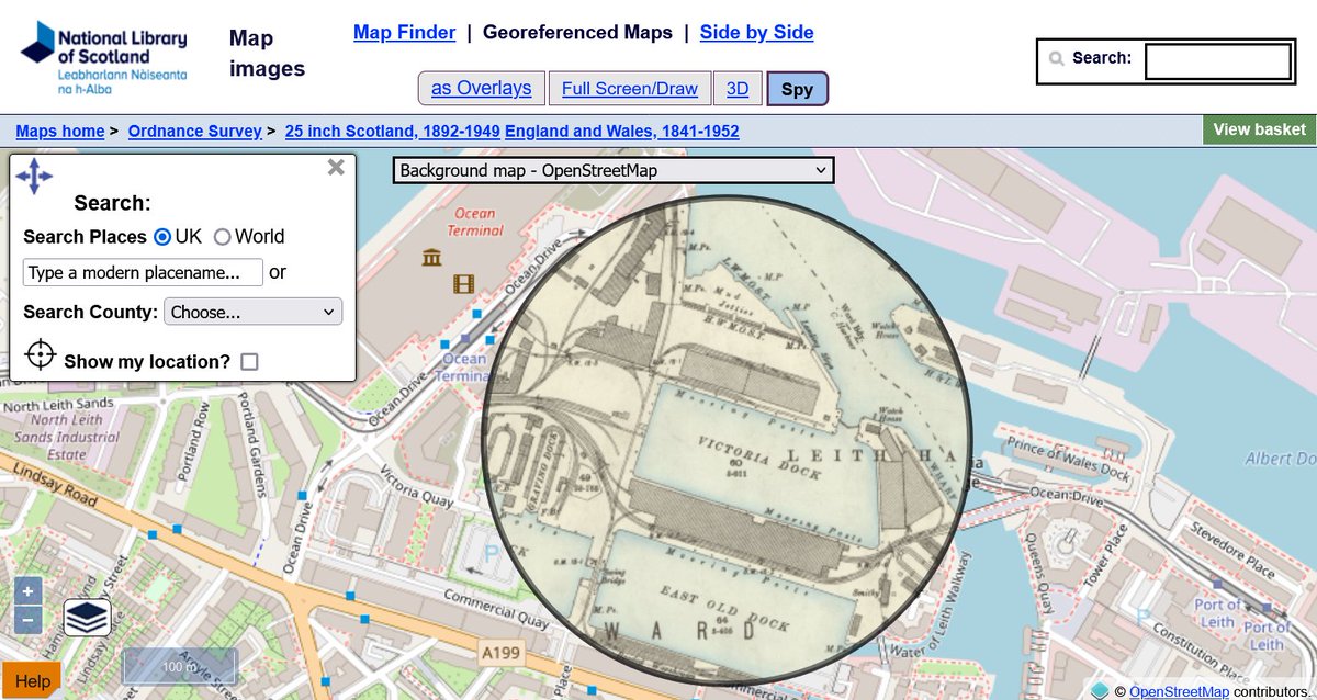
We've added new features to our Georeferenced Maps Viewer.
1. You can now filter historic map layers by date or scale.
2. You can set historic map layers as the background map.
More details at: https://t.co/mYoF1lYfWA #MapMonday
Join us for a free Maps for Family and Local History workshop at the Maps Reading Room, Salisbury Place, Edinburgh, 10am Wed 11 Sept 2024.
View a selection of maps and discover how maps can provide a window into the past. https://t.co/2TwyfFutD4
Scotland was a bustling centre of cultural exchange during the Renaissance ⚖️
Learn how knowledge, goods, and ideas flowed between Scotland and Europe in our exhibition 💭
🖼️ Renaissance: Scotland and Europe 1480–1630
📌George IV Bridge
️🎟️ Free entry
Episode 6 of the CILIPS Podcast is live!
We welcomed @LouisMMCoiffait & @JoCornish4 to share how libraries have changed their lives alongside the team! 👏📚
We also hear about the full @NESKnowledge Network Redesign process! 🩺💻
Click here to listen: https://t.co/X90cEvbHYd