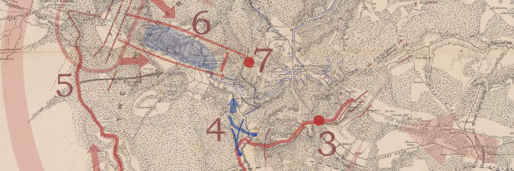
#30DayMapChallenge Day 12 calls for a map NOT made with GIS software. Fine, then! I give you a hand-colored 1797 map enhanced via @neatline with fun interactive markers that expose the map for what it is: a game of world domination. Play here: https://t.co/iJ7Gh95xij
@cdc29 @omeka Hi Chris. Sorry that we missed this! Yes. The Stamen maps don't include as many zoom layers as open street map or a google map layer, unfortunately. I can zoom in to about zoom level 14 or 15 before they stop rendering.