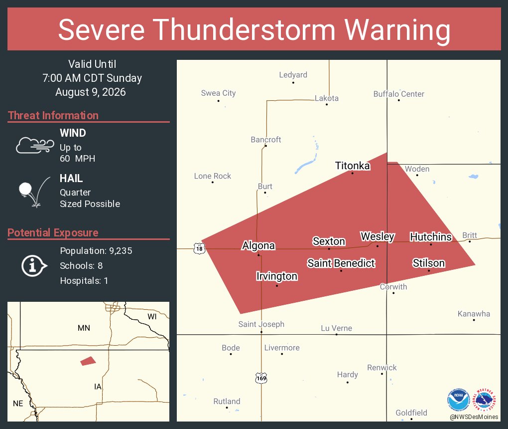
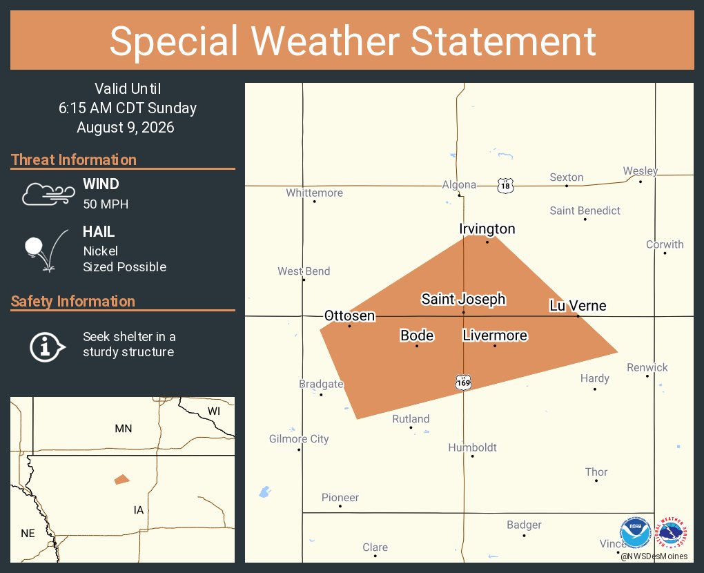
The next chance for severe storms is forecast to arrive after midnight tonight with damaging wind gusts and locally heavy rainfall the main hazards. #iawx
[8/11 746a] Storms have gathered strength over eastern Iowa.
For central Iowa, there will be some lingering showers and a few storms that are unlikely to become strong this morning into perhaps this afternoon. Any additional severe weather will be after midnight tonight.
#iawx
[4:12AM 8/11/26] Storms are developing across central and northwestern Iowa. While not as organized as originally forecast, we are monitoring for the potential for storms to develop a damaging wind or large hail threat. #IAwx
@EmeraldSpectra@farmboy8655 The exact timing is still uncertain, as is the extent to which storms will make it southward across Iowa. Right now, for the Des Moines metro area of central IA, the most likely window for storms looks like 5-8 AM, but it could still shift earlier or later.
There is an increasing risk for damaging wind gusts, especially over N Iowa starting early Tuesday that may continue through much of the morning as a complex of storms dives southeast. An Enhanced Risk therefore is highlighted over these areas to outline this potential. #iawx
@farmboy8655 That is possible, but there are specific criteria for a derecho designation regarding the intensity, duration, and scope of severe winds. Regardless of whether that occurs in this case, there is a threat of severe winds and severe thunderstorm warnings will be issued as needed.
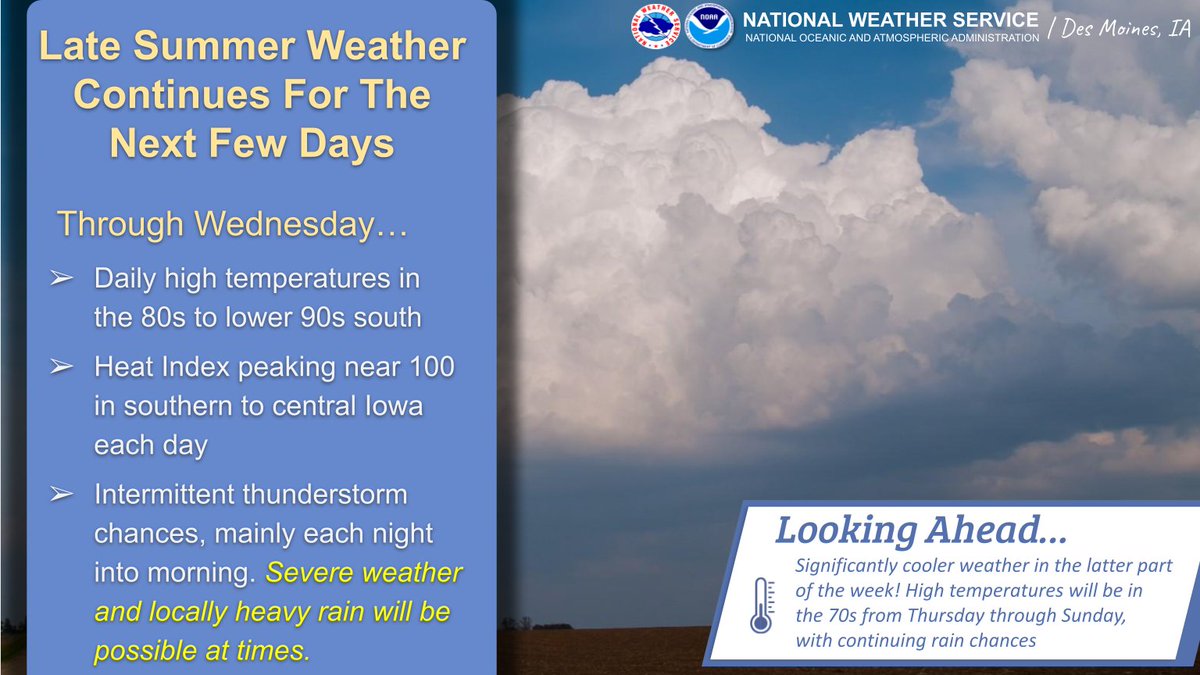
The active week continues with additional storm chances Tues and Wed nights. It will not be a wash out any day through midweek, and some locations will likely stay dry.
Wildfire smoke will also keep skies hazy through at least midweek.
#iawx
There is a Level 2 (of 5) risk in NW IA overnight for severe storms with damaging wind gusts the primary threat, though isolated instances of large hail or pockets of heavy rain are also possible.
Temps in the 80s north to 90s south with heat indices nearing 100° central/south.
Patchy fog has developed this morning with visibilities less than 1 mile at times in portions of central to northern Iowa. Improvements are expected after sunrise.
Warm weather continues for the next several days, with storm chances at times mainly in the overnight to morning hours. A few severe storms will be possible. After that, notably cooler weather later this week with highs only in the 70s from Thursday onward!
@midcon07 It's definitely a curiosity. When winds swirl around between buildings, trees, etc. they can do strange things. We are certainly sorry to hear your plants and pots were damaged. :(
Summertime heat returns to Iowa beginning today, with highs near 90 and heat indices at or near 100 degrees. Storm chances, including the potential for strong to severe storms. Remember to stay hydrated and monitor the forecast for updates! #IAwx
Strong to severe storms are ongoing across northern Iowa this morning. For now the primary threat is large hail, but over the next few hours the threat will transition to damaging wind gusts. #IAwx