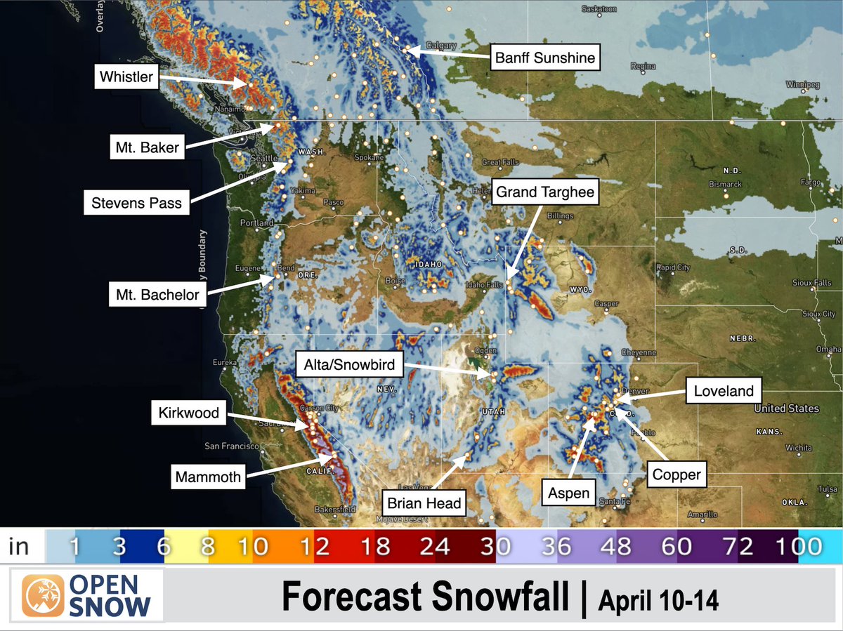
Today, we're introducing PEAKS 2.0
PEAKS 2.0 is our latest state-of-the-art weather prediction engine that powers all forecasts in OpenSnow for the next 15 days.
How can I see it?
Download OpenSnow or visit https://t.co/dUbO98VWaU
Go to any location in OpenSnow and scroll to Forecast Range or Precipitation by Model to compare PEAKS 2.0 against other models.
https://t.co/X7znIjkXyr
Today, we're introducing PEAKS 2.0
PEAKS 2.0 is our latest state-of-the-art weather prediction engine that powers all forecasts in OpenSnow for the next 15 days.
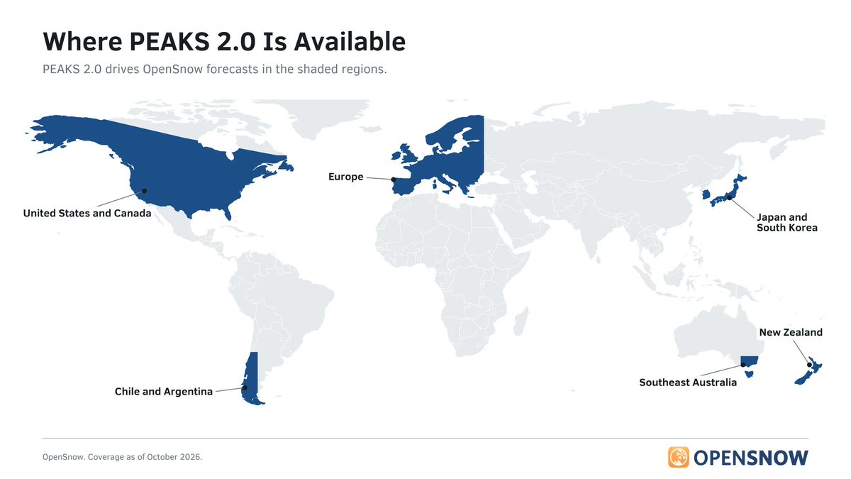
Where is PEAKS 2.0 available?
Across every major ski region around the world, including the United States, Canada, Europe, Japan, and South America.
https://t.co/X7znIjkXyr
StormNet Ranks First in NOAA Severe Weather Evaluation.
@StormNetWx's first place put it ahead of models from Google DeepMind, NCAR, the University of Oklahoma, and others.
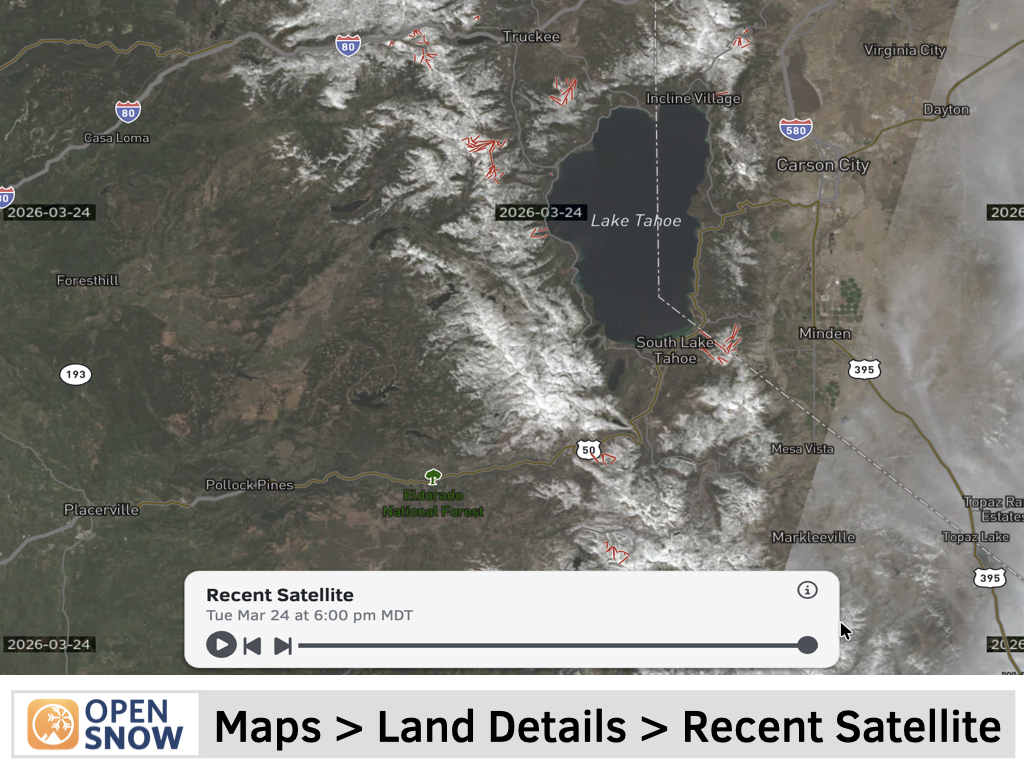
NEW: Recent Satellite Maps
Get a near-real-time view of the land to help better understand current conditions.
See if there is snow on a certain trail or mountain area, and what the landscape actually looks like within the last few days.
The satellite data from the Sentinel-2 satellite constellation is available globally, updated approximately every 3-5 days, with the ability to view imagery up to 30 days in the past.