@lutraconsulting @kemby_geo @QFieldForQGIS I have shared how to use Input to my colleagues at the University. They are very excited to use it for biodiversity survey.
We are delighted to announce the acceptance of Input app on Apple App Store. Input is based on #QGIS and allows you to open/view/edit your #qgis QGIS data/project on your Android/iOS phone and tablet:
https://t.co/o3IXbVhkZ4
Download, review and rate!
#QGIS 3.12 will feature 6 native fuzzy logic processing algorithms - no need for ArcGIS anymore when doing location analysis! They just landed in master and are available in the next nightly builds. https://t.co/F5x2uRMFOT
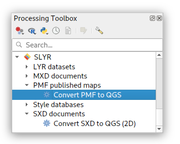
Huge news! MXD conversion support in our SLYR ArcGIS to #QGIS conversion tool is no longer beta, and is available out-of-the-box for ALL users! Read more at https://t.co/DM0TaYe4Vz , and learn how you can unlock seamless support for ESRI documents within QGIS at your workplace.
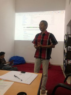
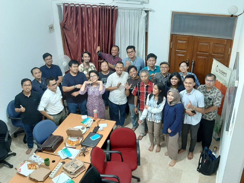
Thank you all for participating at the Workshop on Geospatial Analysis using R and QGIS at Faculty of Earth Sciences, Untan, Pontianak.
Hope we can meet again next time.
@qgisid@qgis
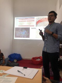
Ismail Sunni is talking at @foss4gbe about working on #QGIS 3D for #GSOC2019
His feedback
- Great lesrning
- Network building
- A door to Open Source world
- Nice payment
Great! The solution will be available in @QGIS 3.10!
https://t.co/n32CmKfEHG
@OSGeo#OSGeo
Our #sen2r package for download and preprocessing of #Sentinel2 time series is now available on #CRAN! v1.1.0 also introduces several improvements and some bug fixes (https://t.co/Jdyxsf2sGA https://t.co/yctiEk9oai) #rstats#rspatial