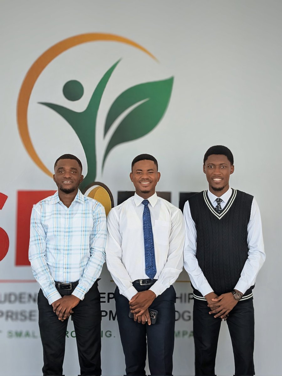
SEED has officially been planted! 🌱 It's an honour to be at the launch for the Student Entrepreneurship and Enterprise Development Programme (SEED) today. The future of Ghana is entrepreneurial!
📢 Deadline extended until 3 May!
There’s still time to share your views on Very High Resolution Earth Observation imagery.
We especially encourage input from developing countries — your perspectives are key to improving access, usability and impact.
📝 https://t.co/AcUSUgizQ3
📢 Applications open!
Early-career scholars in African Literary & Cultural Studies (Eastern & Southern Africa) are invited to a year-long writing & mentoring programme, including a 4-day workshop at the University of Nairobi.
https://t.co/V2kilelnzB
🌍Mapping stories from Ambassadors around the world
From Cameroon, Modo Engelbert highlights how mapping can bridge institutions and communities across borders.
Through his work, mapping becomes a powerful tool for knowledge sharing and global collaboration.
#UNMappers#UNMaps
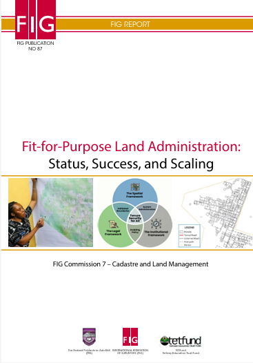
📢New publication: Fit‑for‑Purpose Land Administration- Status, Success & Scaling.
Produced by @FIG_NEWS with the support of partners.
This publication reviews global progress on FFPLA and how it can be scaled nationally.
📚https://t.co/W5y5bkFCPn
Smarter livestock systems start with Geo-Intelligence.
Using GIS + Remote Sensing + EO, we help map grazing, monitor pasture health, and model climate risk for resilient, data-driven livestock management across Africa.
#GIS#EarthObservation#ClimateResilience#AfricaGIS#GeoAI
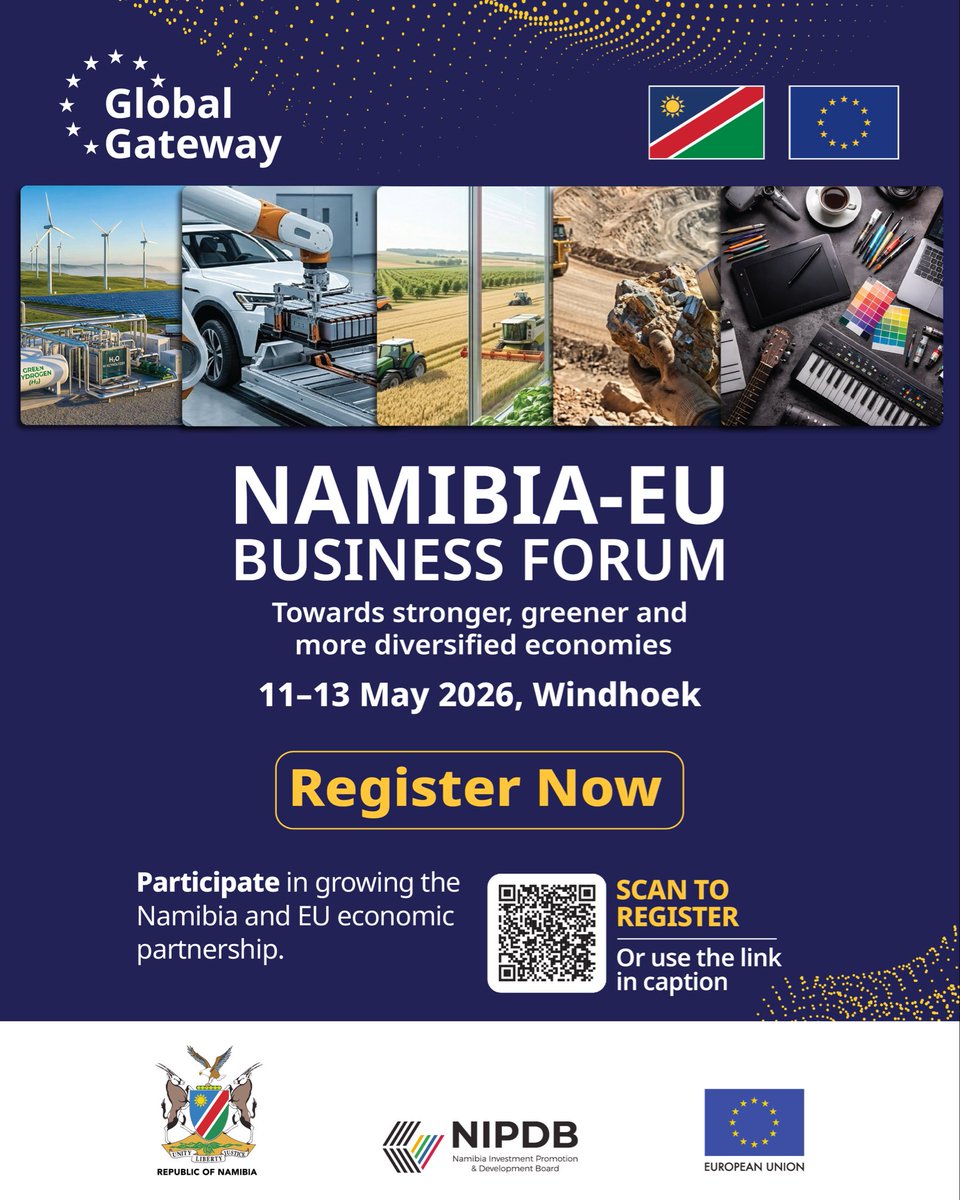
A shared path forward 🇳🇦🇪🇺
Join the Namibia–EU Business Forum 2026 (11–13 May, Windhoek) to connect with leaders driving trade, investment & partnerships between Namibia and the EU.
Register now: https://t.co/UYUgQ3OQoA
@MIRT_NAMIBIA@NIPDB
Mapping Amid Crisis: Connecting Displaced Communities and Humanitarian Responders Through Open Mapping in Northeast Nigeria. In times of crisis, data saves lives! Olumide Stephen will share with us how open mapping...
#SotMAfrica2026
Read more: https://t.co/xyfU0hwQz1
Satellite data and geospatial analytics are transforming food security. 🛰️🌍
Governments can now monitor crop health, detect risks early, optimize resources, and improve agricultural planning using multispectral Earth observation data in near real time.
.
#geospatial
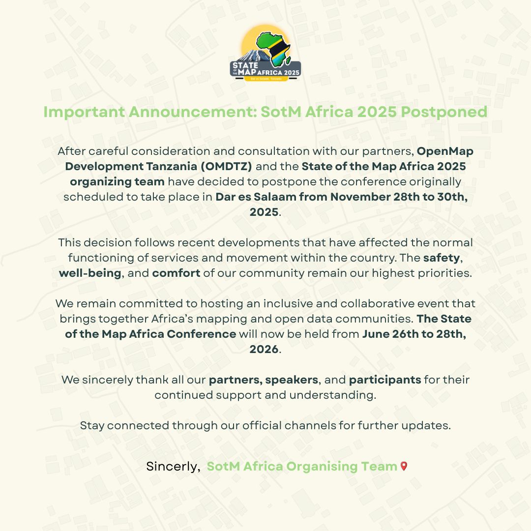
📢 Important Announcement: State of the Map Africa 2025 Postponed.
After careful consultation, the #SotMAfrica2025 conference in Dar es Salaam has been postponed due to recent developments in Tanzania
🗓️ New dates: June 26 - 28, 2026
We thank you for your understanding.
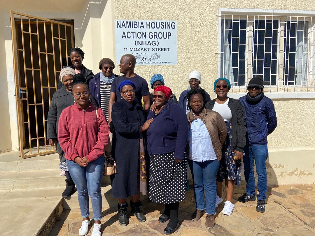
@openmapping_esa mentors Wilson Munyaradzi & Shamillah Nassozi shared valuable insight on project implementation with Namibia Housing Action Group & @Shack_dwellers federation of Namibia. Current phase of mapping is being implemented in partnership with @DlpsNust @NUST_Namibia
Induction meetings were informative and gave us that confidence that project implementation will be guided and success is inevitable. Support from HOT mentors will be essential . #OSMNamibia#OSMGrant#OpenStreetMap