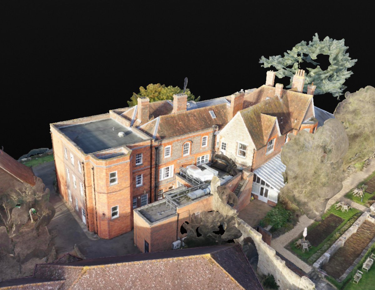
Pre-ordered your new @DJIGlobal Mavic Air? Find out more about how you can use your #drone to make 3D models with OVRMAP @ https://t.co/GDKRSJ6DE7 #dji#uav#mapping#3Dmodels
Our 3D package now includes the Virtual Inspector powered by Pix4D - combine the interactivity of #3D with the detail of images. #drone#mapping#survey#uav
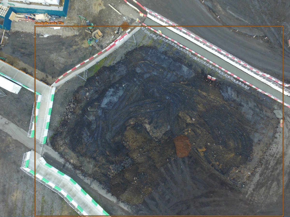
Check out Stockpile Volumetric Survey by OVRMAP in #3D, #VR or #AR on @Sketchfab https://t.co/80cMujrY4c via @sketchfab. Navigate around with the annotations
Custom colourised point clouds, generated with OVRMAP’s AgEcoEnv package. Send us your @MicaSense RedEdge images and visualise 3D NDVI, CIR and more #drones#ag
Archeology: another industry that can benefit from the use of multispectral imaging. Learn more about @BristolUni - @digberkeley here https://t.co/NfJN5on2Pq #Archaeology#MultispectralImagery