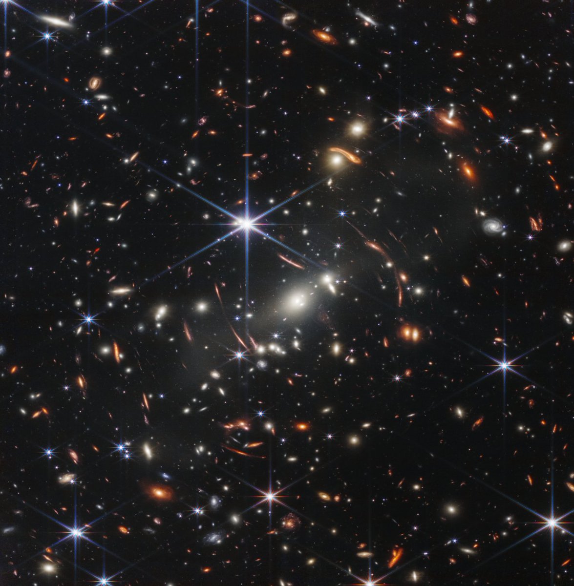
👀 Sneak a peek at the deepest & sharpest infrared image of the early universe ever taken — all in a day’s work for the Webb telescope. (Literally, capturing it took less than a day!) This is Webb’s first image released as we begin to #UnfoldTheUniverse: https://t.co/tlougFWg8B
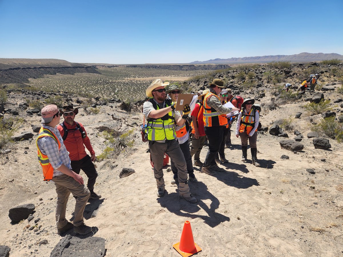
This oddly-shaped crater, Kilbourne Hole, was likely formed by ancient steam explosions-- but how, exactly? That's (partly) what we're here to find out.
Each day, team RISE2 drives for about an hour to our main work site in the desert. Reaching the most scientifically interesting spots can be challenging, but we’re ready to adapt and make it happen. Teamwork for the win!
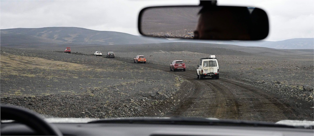
After gathering supplies in Reykjavik, we headed out to our field site. It’s a long drive to the interior highlands, taking two days on the road. We passed cows and sheep and gorgeous views, and got to know our vehicle mates.
We want to understand this ice, and how it shows up in satellite and ground-penetrating radar data, in order to help NASA identify buried ice on the Moon, Mars, and Mercury.
Confirmed! The team used ground-penetrating radar (GPR) to ‘see’ beneath the surface, dug pits to check both the satellite and GPR data, and collected ice samples at different depths to find out how the ice's chemistry-- and the gases trapped within it-- change with depth.
Our Ground-Renetrating Radar (GPR) Team looked for ice buried under volcanic ash and pumice in Askja Caldera. Satellite data indicates that ice could be hidden here. Team GPR came to find out for sure by taking measurements on the ground.
Earlier this year, scientists, engineers, and astronauts participated in a pair of field campaigns in Iceland, with field science led by the Goddard Instrument Field Team. We chose this location for its striking similarities to the Moon and Mars. Follow along for highlights!