25 years since the last UK Ordnance Survey benchmark was carved - see all 500,000 and find your closest example: https://t.co/usxEbGuTgD @OrdnanceSurvey#BuiltWithMapbox#geocaching
📢Calling all front end developers!
We have an exciting opportunity for a full time, experienced #FrontEndDeveloper to join our small, supportive team with the benefits and backing of a Times Top 100 company.
Interested? Read more: https://t.co/nENu0heqB5
The new version of the 3D BAG is out! With many new features, more detail and a brand new 3D viewer.
@ylannl , @liberostelios , Jordi van Liempt , @jantienstoter , @BalazsDukai
https://t.co/y8wddtnZNM
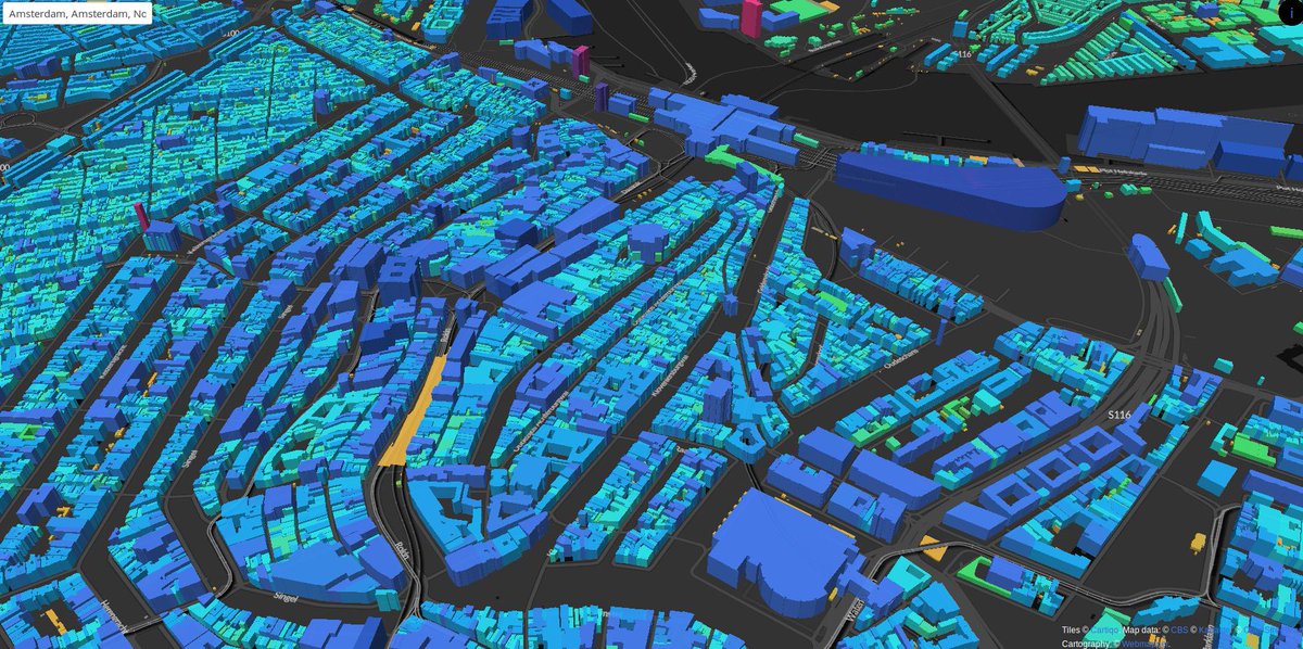
Oh the Netherlands building age map of @parallelmaps reached its limits! Check out https://t.co/Zk1B3fltlz for the alternative version :) Not with building ages but with heights based on the BAG 3D by @tudelft3d@BalazsDukai & tiles @cartiqomaps
Sutton Coldfield Town Council's new report on community development approaches to health & wellbeing https://t.co/tuPtHDVAWQ applied open data + local listening @RoyalSutColTC#SHAPEPlace@ONS@OrdnanceSurvey@NHSDigital@NALC Thx to those who gave of their time & knowledge
All schools in England & Wales mapped with walk, cycle and drive time catchments: https://t.co/i8D2sSvlYY @route360_ @OrdnanceSurvey#OpenData#BuiltWithMapbox
@JSimpsonIB@HalcyonSchool Glad you like it. Great to see it being used so much in schools. Hopefully you’ve spotted some of the other maps at https://t.co/cLI7KaKxYB