Cartographer, Geospatial Specialist, Hard working, self motivated, father of 2, traveller, outdoors guy, handyman and will always try DIY at least once!
For physical security and public safety teams, situational awareness isn't about having more data. It's about having the right context. Andreas Beerbaum shared his insights at our blog: https://t.co/t5wwJ5f3Ht
For physical security and public safety teams, situational awareness isn't about having more data. It's about having the right context. Andreas Beerbaum shared his insights at our blog: https://t.co/K1sOaEp9u8
Border surveillance technology ranges from traditional methods like radar and cameras to more advanced technologies like RF surveillance and integrated sensor networks, says Richard Goodman. Learn more at our blog. #surveillance#defence#defense https://t.co/SMoMMhYcpz
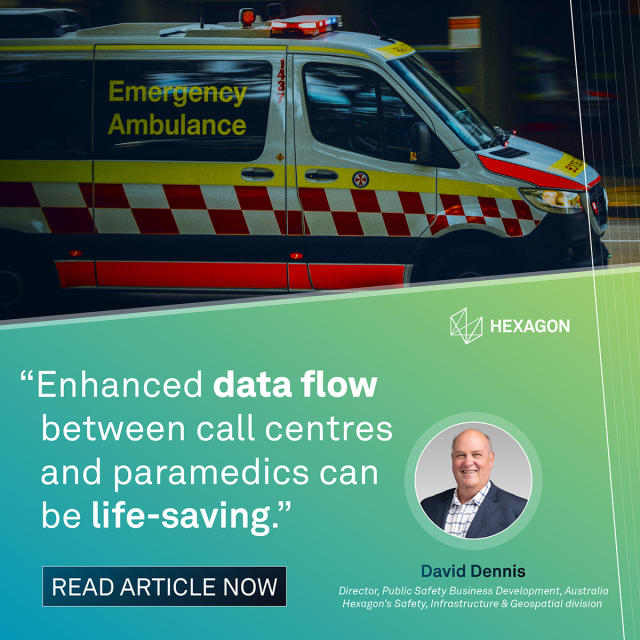
Given Australia’s geographic and demographic demands, advanced tools like assistive AI and cloud-based systems could make a measurable impact on emergency service delivery, says David Dennis. Read the article for details. #paramedics#ems#ai https://t.co/pGEEYj3G69
HxGN Mass Transit redefines how public transportation agencies manage infrastructure and processes. By integrating spatial and asset data into one system, it creates a centralized, dynamic view of a whole network. #transportation#transit#infrastructure https://t.co/OR55DS99j1
Amid the Hexagon LIVE excitement comes another development: the release of Luciad 2025.0, which delivers improved visualization and mapping and greater control over defense and intelligence data. Read the press release for details. #luciad#update#release https://t.co/zunvRpmFZp
How can modern digital port solutions streamline the global supply chain? Uwe Jasnoch explains that and more in this Seatrade Maritime article. #maritime#ports#trade https://t.co/BBaRWleEHx
Just another reason our customers are the best: When a Hexagon employee found himself in urgent need of medical attention, Kyle Griffin, 911 director for Stanly County, rendered life-saving aid. Watch the video for details! #lifesaver#publicsafety#heroes https://t.co/u4gA5TZb12
Creating a field event in HxGN OnCall Mobile is quicker and easier than you think! Watch our playlist for more tips and tricks: https://t.co/u74y0ARLxo #tutorial#demo#ng911 https://t.co/GVVRpf62O0
An urban digital twin can offer valuable insights and actionable information and help your city reach its goals. But how do you get started, and what does it take to be successful? Our experts answered those questions. #digitaltwin#faq#smartcities https://t.co/TnnBbVYGOT
Nick Karakulko believes that airports are moving towards complete digital twins of their entire operations. Read the article for more of his insights on the future of aviation: https://t.co/fnSEzFTY2j #aviation#security#lidar https://t.co/f34EN8q3QZ
How useful is satellite imagery for detecting and measuring changes in land cover for territorial planning and sustainable management? A group of researchers recently examined that question using ERDAS IMAGINE. #landuse#eo#satellite#imagery#geospatial https://t.co/2OhNehb3c8
For the past 3 years, we have partnered with @La_UPM to integrate ERDAS IMAGINE tools into the university’s curriculum, enriching student #geospatial education through real-world applications of geospatial data and spatial analysis. #education#partner https://t.co/sPe7jXYoSC
Our customer @thalesgroup has supported the operations of the UK's Royal Air Force for more than 30 years with a solution powered by #Luciad. And speaking of Luciad, here's some exciting news: a new release is planned for the end of June! #defense#defence https://t.co/HFPpEAvU2R
You've heard of GeoMedia, but what about its benefits? -Concurrent licensing -First-class customer support -Flexible for use in various industries (like utilities) There's never been a better time to explore! https://t.co/AxYNTN5MFS #geospatial#gis https://t.co/ODZxcOt0pw
When emergencies occur, advanced public-safety technologies are key to saving precious minutes, along with the lives that hang in the balance. Read on for more on how smart, AI-driven solutions empower agencies. https://t.co/3tvzLrh2Kr #ng911#ai#cad https://t.co/1kghu3dlQM
Ultimately, improving emergency preparation and response isn’t about any one all-powerful data source, but rather the technology that brings all the data together. Read the article for details. https://t.co/XsRIAxfZkR #fire#ng911#wildfire https://t.co/FavQNzRZ8R
From wearables to voice assistants, a new wave of device-initiated calls is changing how dispatchers respond to emergencies. Read on for insights from Dru Clarke, assistant dispatch director in Fairfax, VA, and Hexagon's Bill Campbell. @EMS1#ng911#ai https://t.co/Fr2aZkRJz0
HxGN dC3 LidarVision provides full volumetric protection, eliminating blind spots and ensuring rapid response to any intrusion. Discover what else it can do: https://t.co/Za1JDJhPkq #lidar#security#surveillance https://t.co/2wcLm6ZH3G
Situational awareness was a major concern when @OUC_DC in Washington, D.C. provided security for the most recent presidential inauguration. Watch the full video case study for details: https://t.co/xUJ5hhreN8 #emergency#safety#inauguration https://t.co/oFjX3hjuhk