Cloud + Satellites + Analytics = Better Decisions, Faster.
Announcing our collaboration with Amazon Web Services (AWS) - #AWSmarketplace to bring the benefits of earth observation to decision makers.
Find out more: https://t.co/Bs10QQB3OI
#cloud#aws#earthobservation#analytics
We welcome international companies like PCI to Harwell Campus as a key driver of innovation and expertise. 🤝
Scotland’s space sector attracts significant levels of private investment and is playing an important role in unlocking the value of space data for the economy. 📈
Exciting news!
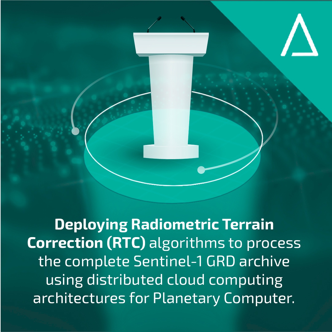
We're giving two talks at #ARD23 next week.
Our first will be with Principal Geospatial Architect at Microsoft, Rob Emanuele. If you can't make it there on the day, we'll be sharing key headlines afterwards.
#cloudcomputing#earthobservation#satellite
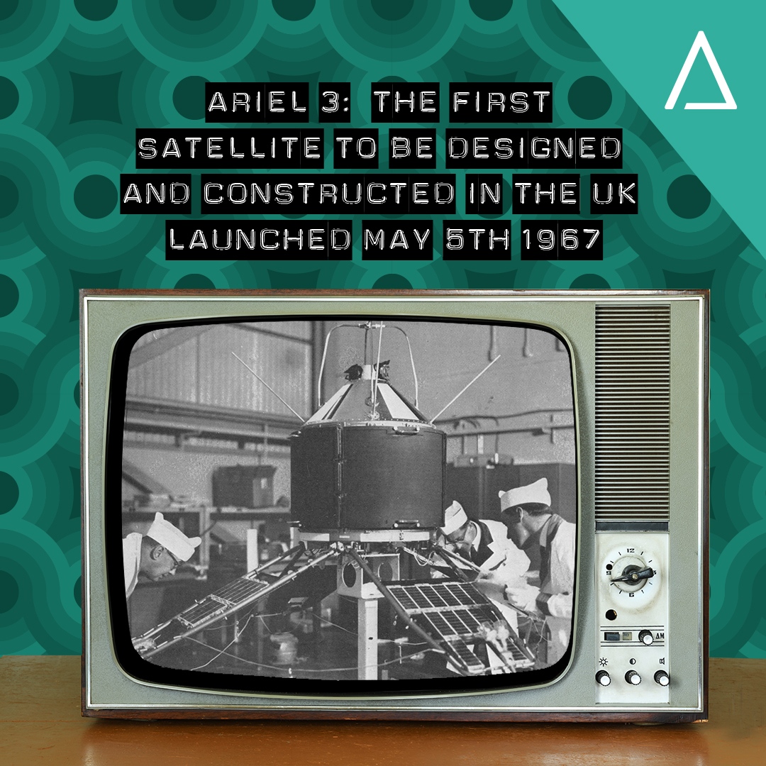
#DidYouKnow 56 years ago today, the first all-British satellite was successfully launched from the Vandenberg Air Force Base in California.
Ariel 3 orbited the Earth every 95 minutes measuring terrestrial radio noise, electron temperatures and 02 distribution in the atmosphere.
To mark #EarthDay2023, we're pleased to launch our new series - Solar Sites.
Every month, we're going to map a part of the world with potential for new solar sites. Starting with Dallas, Texas.
Try it: https://t.co/jpApS0EfgU
#solar#solarenergy#insights#satelliteimagery
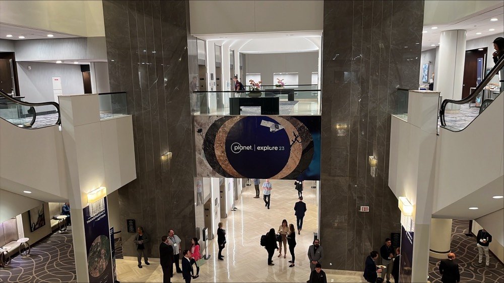
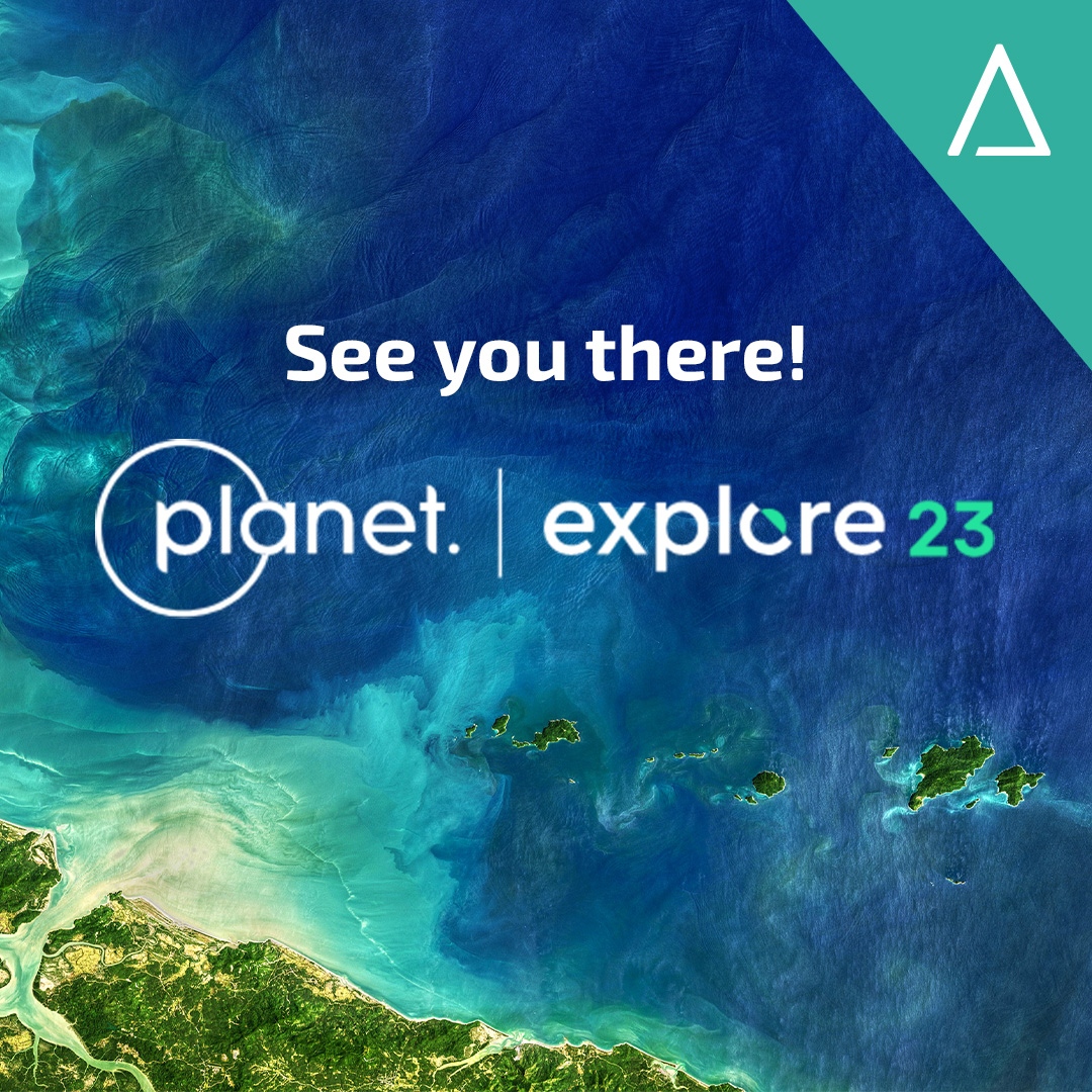
Good morning from #PlanetExplore23!
We're all set for a great couple of days here in Washington.
If you're here, come and say hi - we'd love to chat, connect & discuss how tech & #satellitedata can solve Earth's most pressing problems.🌍
#earthobservation#conference
Easter Island - home of the #Easter Bunny - is under serious environmental pressures.
Among them are long term droughts and absence of rainfall.
Our CATALYST INSIGHTS analysis shows just how challenging it has become.
#earthobservation#satellite#climatechange#geoscience
CATALYST INSIGHTS advanced analytics & near-real time monitoring of ground movement support decision-makers make more informed decisions faster.
Discover more at https://t.co/yflIdQ25It
#earthobservation#groundmovement#riskmitigation
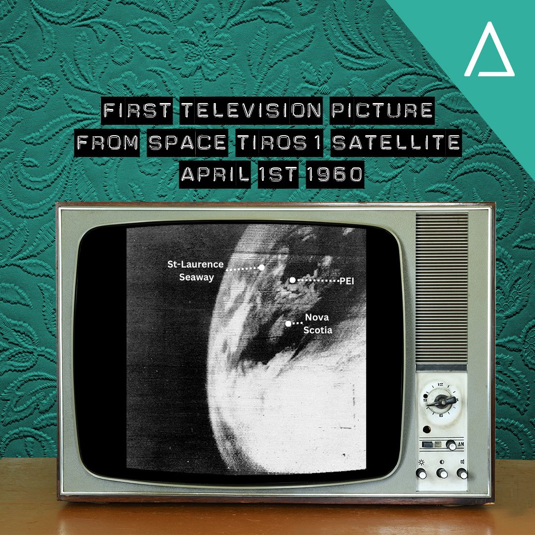
#DidYouKnow, 63 years ago today the US launched TIROS-1, the first Earth orbital weather & TV infrared observation satellite?
Returning 19,000 usable images for weather analysis in 2.5 months, its success marked a historic moment for satellite EO.
Credit: TIROS Program, NASA
Final Part: How did CATALYST's customisation help @KSAT_Kongsberg to achieve their larger goals and aspirations as a company?
Charlotte Bishop, senior project manager at KSAT, explain mores.
Watch full interview here: https://t.co/yMYT1gDPhk
#earthobservation
Part 5: 4 features were needed from the new @KSAT_Kongsberg workflow:
1️⃣ Pansharpening
2️⃣ Orthorectification
3️⃣ Analysis ready imagery in 30 minutes
4️⃣ Large volume processing
Charlotte Bishop takes us through the results.
Watch the full interview: https://t.co/kWo882956Q
Part 4: @KSAT_Kongsberg's Charlotte Bishop reflects on the collaborative process to deliver an interactive workflow with pansharpening, orthrectification, & mosaicking features to enhance final data.
Watch the full interview: https://t.co/kWo882956Q
#earthobservation
Part 3: When @KSAT_Kongsberg needed to deliver an analysis ready image within 30 minutes from the image capture, 🛰️, they turned to CATALYST.
Charlotte Bishop, Senior Project Manager at KSAT, explains what happened next.
Watch the full interview: https://t.co/yMYT1gDPhk
Part 2: Charlotte Bishop, senior project manager at @KSAT_Kongsberg, explains how CATALYST's solutions has helped create tailored solutions to meet increasing client demands and time-critical pressures.
Watch the full interview: https://t.co/kWo882956Q
#earthobservation
We've worked with @KSAT_Kongsberg for 10 years.
Our latest collaboration: a custom ortho-mosaicking workflow.
In this new series, we speak with senior project manager, Charlotte Bishop, about the project.
Watch the full interview: https://t.co/kWo882956Q
#earthobservation