Hadley Cell expansion getting ready for another year of crushing coldies after seeing them get excited over pointless seasonal charts that are always wrong
Thunderstorm Outlook ⛈️
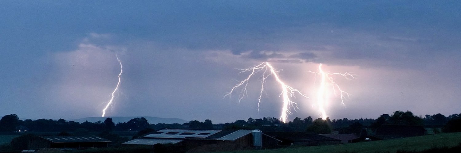
As highlighted for a number of days, an area of elevated #thunderstorms are likely to move north through Thursday morning, bringing torrential rain (30-40mm widely over six hours). The day may see two waves, with lightning and hail additional risks.
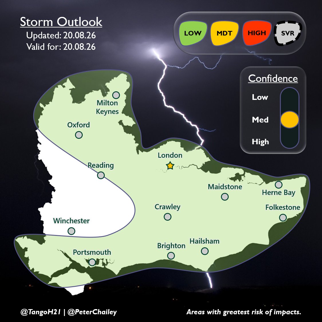
Thunderstorm Outlook ⚡️
Through this afternoon, thundery downpours are likely to develop in the highlighted region with the MDT zone seeing a chance of a stronger line of storms, aided by surface convergence and decent MUCAPE (>1200 J/kg).
#ukweather#thunderstorm
There's been a significant increase in thunderstorm outlook graphics lately, something @Met4CastUK has also mentioned. That itself is absolutely fine and is really good to see!
What concerns me is the apparent lack of human meteorological input behind some of them, with AI seemingly doing much of the interpretation.
Interpret Skew-Ts, compare the models indvidually, look at the wider synoptic and thermodynamic setup. AI is an incredibly useful tool, but at the end of the day, the forecaster still has to forecast!
Storm Outlook 🌩
A risk of thunder through today, already with some strikes along the south coast.
Heavy rain may cause surface flooding in any slow-moving showers and associated chance of vegetation fires with CG lightning.