Platte County Missouri has postponed the monthly Tornado siren test until Wednesday, February 12th, 2025, at 1100 AM. It's slick roads out there, so if you don't have to travel, stay put!
Platte County and Clay County Emergency Management is hosting the annual Strom Spotter class on Tuesday, February 18th, 5pm to 7pm at the Kansas City Regional Police Academy - 6885 NE Pleasant Valley Rd, KCMO 64119. You must register at : https://t.co/XsXUmvhzPp
BTW, here’s what causes the sirent test to be rescheduled or possibly canceled:
1. Severe weather (or severe weather potential) in the area and siren activation might cause confusion; or,
2. extreme cold, freezing rain/drizzle or icing might damage the equipment.
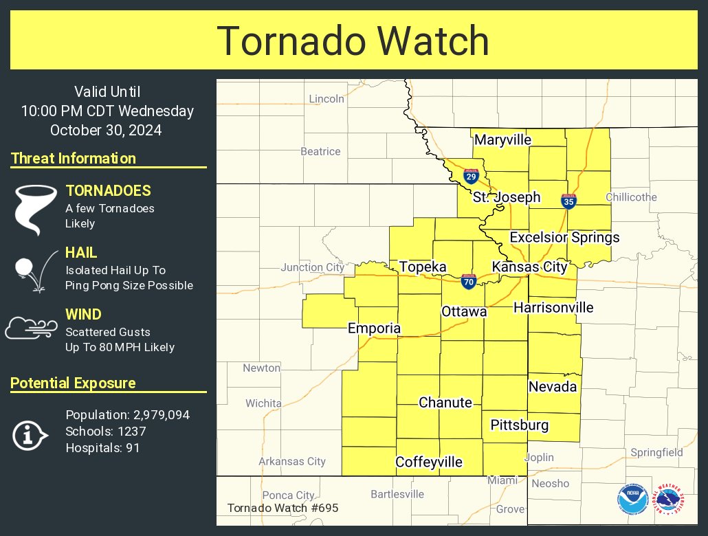
[Oct 30]: Severe storms are expected today & tonight across parts of the Mid-MO Valley into OK/KS. Supercells & line segments producing scattered damaging wind, isolated large hail & a few tornadoes (a couple strong) are expected. Visit https://t.co/QMmU4tCxt1 for more details.
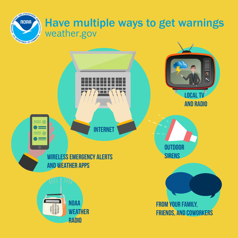
There is an Enhanced Risk of severe storms on Wednesday 10/30 for northwest MO, eastern KS, and northeastern OK. Risks: large hail, damaging winds, and a few tornadoes (some of which may be strong). Stay up to date on the forecast and have multiple ways to receive warnings.
PRECAUTIONARY/PREPAREDNESS ACTIONS...
Drink plenty of fluids, stay in an air-conditioned room, stay out of the sun, and check up on relatives and neighbors.
HEAT ADVISORY IN EFFECT FROM 1 PM SATURDAY TO 8 PM CDT MONDAY...
* WHAT...Heat index values up to 105-110 expected.
* WHERE...east central and northeast Kansas and north central, northeast, northwest, and west central Missouri.
* WHEN...From 1 PM Saturday to 8 PM CDT Monday.
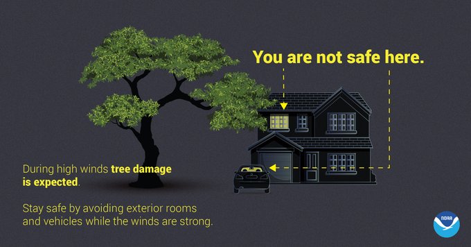
It's gonna be a toasty one today with highs in the upper 80s. There will be a chance for a few storms late afternoon, but the main event comes late tonight as a large complex of storms moves NW to SE through the region. Damaging wind gusts up to 70 mph will be the primary hazard.







![NWSSPC's tweet photo. [Oct 30]: Severe storms are expected today & tonight across parts of the Mid-MO Valley into OK/KS. Supercells & line segments producing scattered damaging wind, isolated large hail & a few tornadoes (a couple strong) are expected. Visit https://t.co/QMmU4tCxt1 for more details. https://t.co/jWWt2t8iSc](https://pbs.twimg.com/media/GbIAFnHa8AAzUNs.jpg)


