Whitebox Geospatial is pleased to announce the release of WhiteboxTools Open Core v2.3. This feature-rich release includes several new tools and the all-new Whitebox Runner. Download WbT today.
https://t.co/XVuupA3Etk
#gis#gischat#geospatial#opensource#remotesensing#lidar
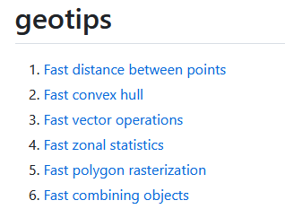
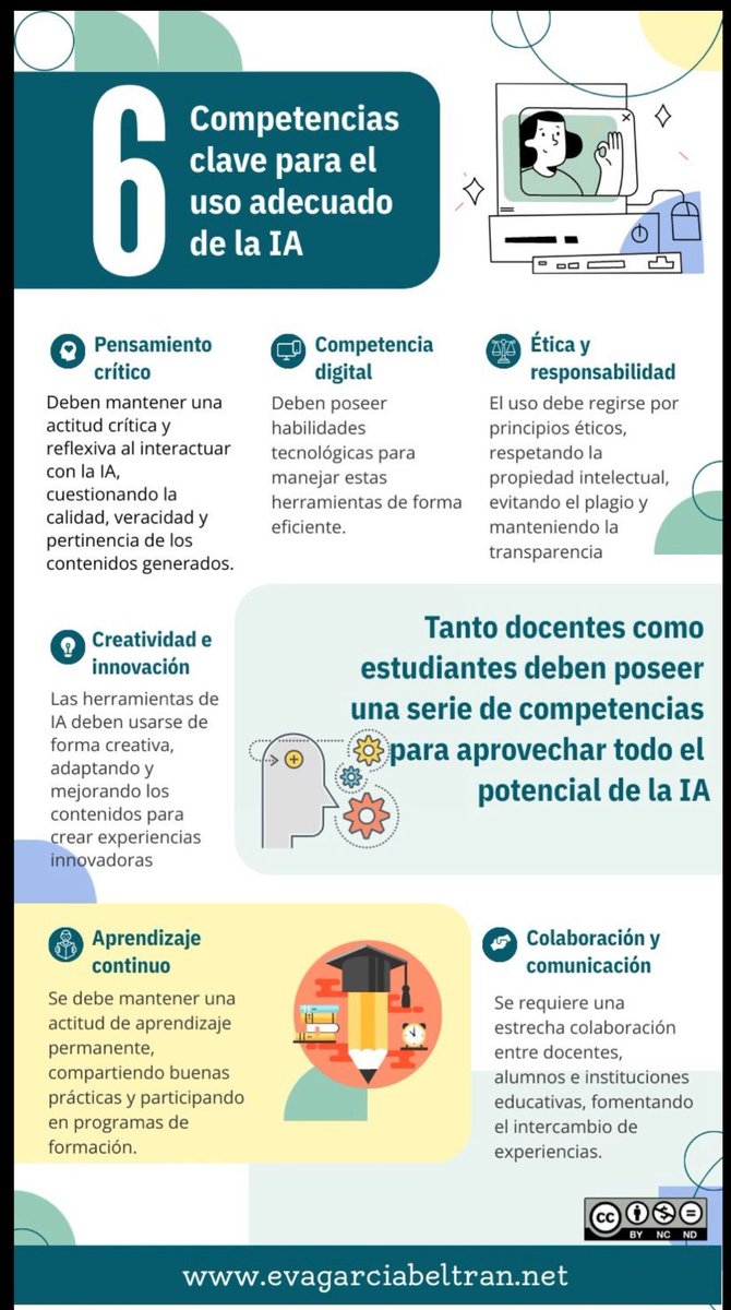
Sometimes #rstats is very slow to process spatial data. Based on my experience, I wrote tips on what can be improved. You can find them here: https://t.co/DOr88gPhjY Which do you find most useful? I look forward to your comments, ideas and contributions!
#rspatial#gischat
New Video Tutorial: Fixing Topological and Geometry Errors using #QGIS and Mapshaper. A quick primer on cleaning up messy vector data - the easy way. https://t.co/tSuGPjkxs4
Segment-geospatial v0.9.0 is out📢It now supports segmenting remote sensing imagery with box prompts. You can create box prompts interactively or use existing vector data as box prompts 🌐
GitHub: https://t.co/fIwKOLT34E
Notebook: https://t.co/u0aPCflETG
Video tutorial: https://t.co/69kGOOpL1a
#geospatial #segmentanything #deeplearning
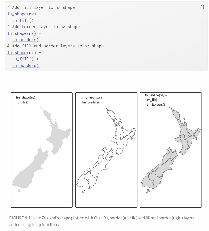
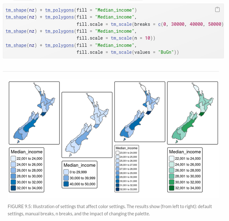
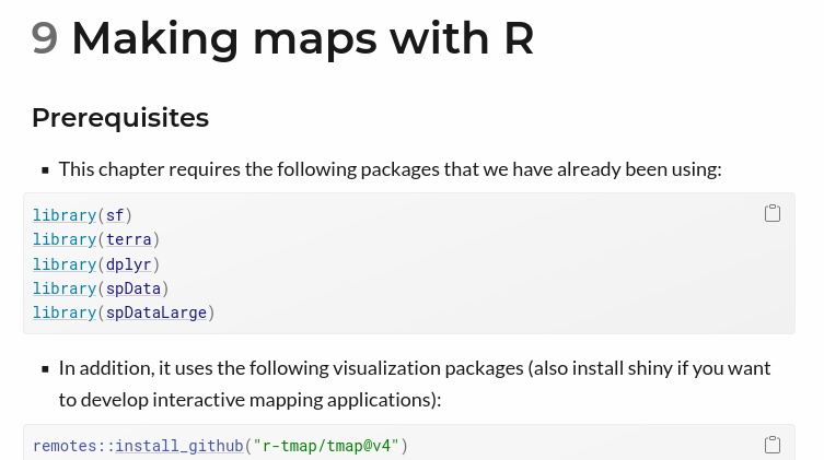
‼️ The "Making maps with R" chapter now uses and explains the upcoming #tmap version 4.‼️
Read it at https://t.co/lpT2xv4NZ6 and then create your own maps!🗺️
#rspatial#rstats#geocompx
🔥Major Announcement🔥
We created a new home for all of our resources on reproducible geographic data analysis, modeling, and visualization with open source software!
Visit https://t.co/fRkwrYntsd.
#rstats#rspatial#python#geopython#geocompx
Acaba de salir a Github una primerísima versión del paquete de #rstatsES {censAr} que parece estar andando para trabajar con los microdatos del CENSO 2010.
Falta emprolijar mucho, documentar y eventualmente expandir para poder laburar (por lo menos) con los 2 censos previos