Any place on Earth can become a 3D city panorama.
This is downtown Copenhagen🇩🇰, rendered from OpenStreetMap data in 4K in under a minute with forge3d in Python.
👉 https://t.co/Y8AwdCGZ4l
A new open-source app, CoMaps, is emerging as a privacy-focused alternative to Google Maps.
Offline use, no tracking, lower battery impact, but fewer features.
https://t.co/Q5E8MIjY97
#TechNews#Privacy#Maps#Geoawesome
"We need to imagine beautiful worlds, put them on a map, and make them a reality. As Oscar Wilde said, a map of the world that does not include Utopia is not worth even glancing at."
This is how I closed my #TEDxAUEB speech a few days ago!
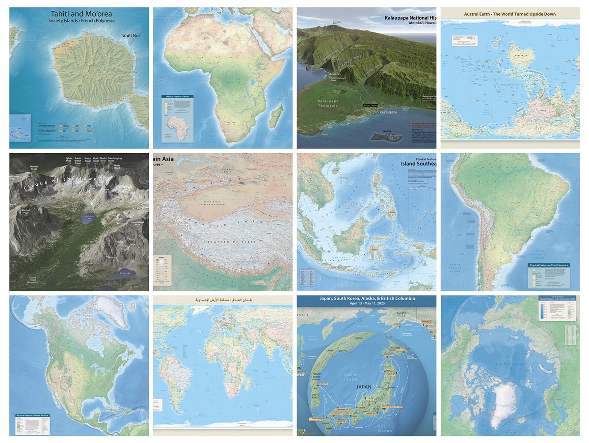
Need to decorate an empty wall? My maps are now available in print and with a choice of high-quality finishes. You can peruse them here: https://t.co/2rBk5C9e42
I am pleased to announce that the Equal Earth world map is now available in Slovenian, plus 17 other languages. You can download them for free here: https://t.co/mCHI9I8NBQ
Ten years ago I had an idea to write about a map a day for a year. I've had another idea...
Introducing the #365DayMapChallenge where Ian Muehlenhaus and I will make a map a day, using only natural language prompts and AI, for a whole year.
More here: https://t.co/WwOSrZQhe7
Project Mapterhorn is ramping up: Free public terrain PMTiles for interactive web map visualizations. Resolutions Global: 30 m, various European countries between 0.5 m and 10 m https://t.co/Q0A6jonsIy