OpenTopography is at the @SACNAS National Diversity in STEM (#2024NDiSTEM) conference in Phoenix, AZ this week. Stop by our booth in the exhibit hall (shared with @AGeSGeochron) to say hi 👋, ask questions, and learn about available resources related to #lidar and topography.
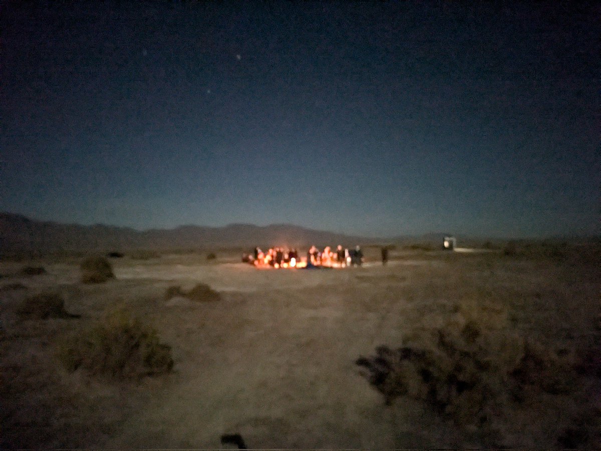
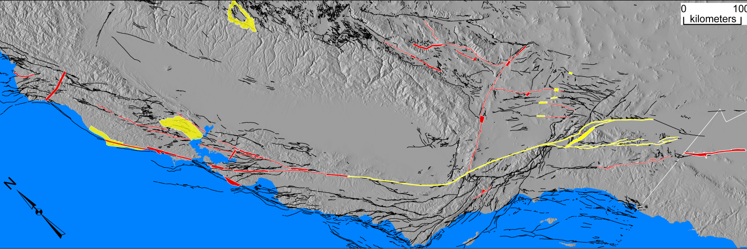
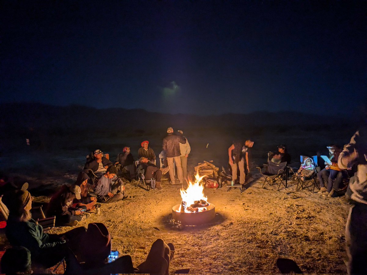
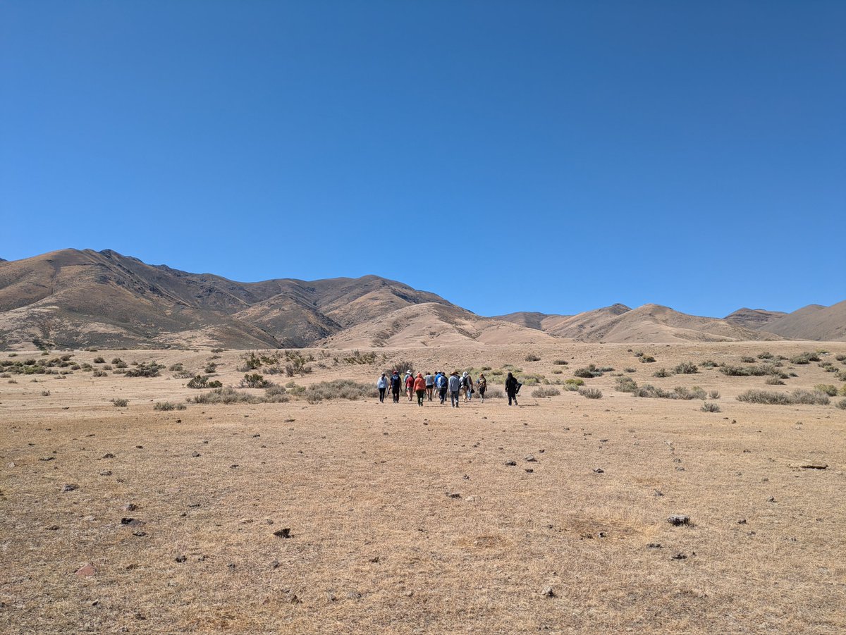
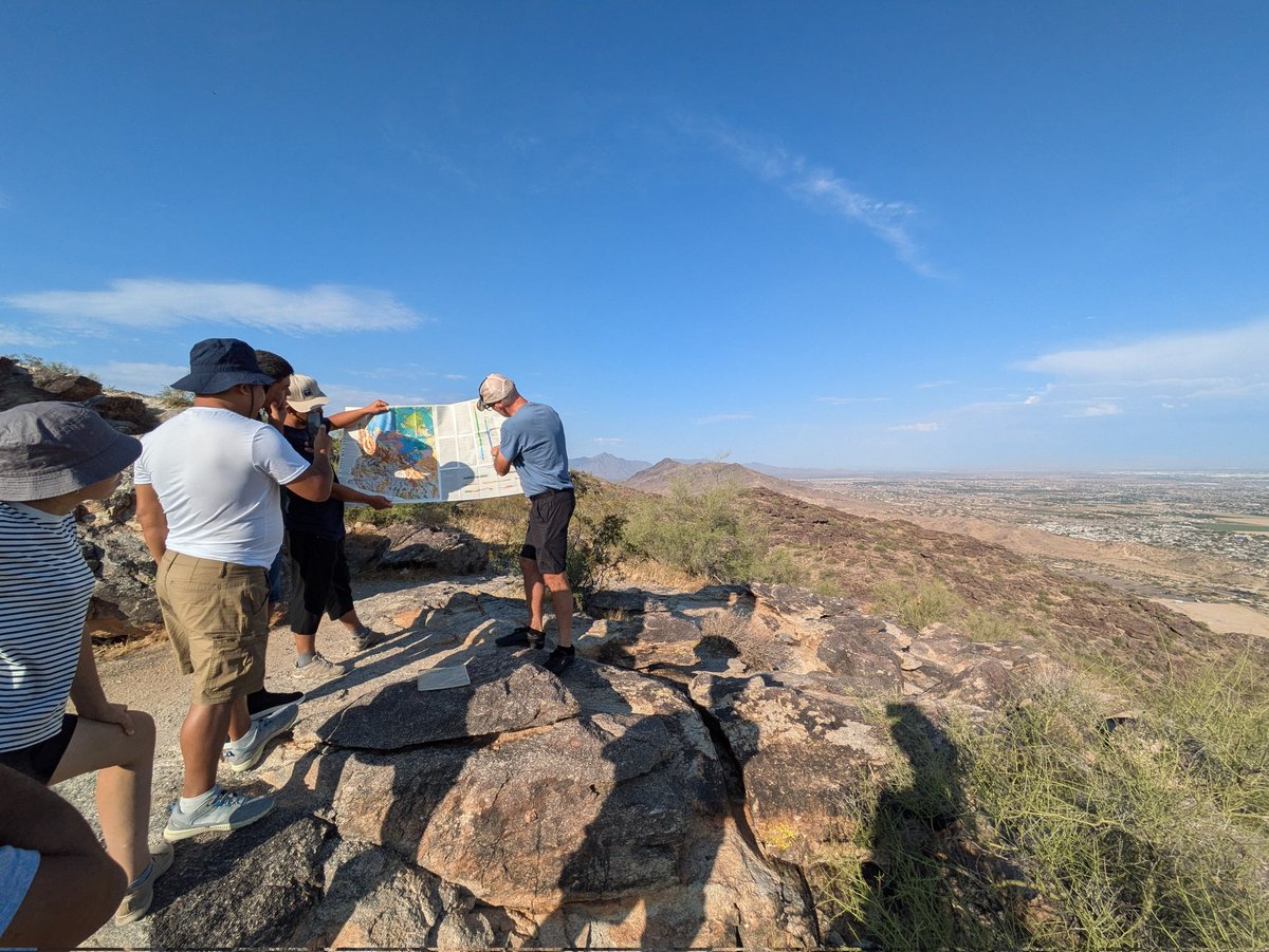
Here's a summary of our 2024 activity in the @NATO_SPS project “Earthquake Hazard and Environmental Security in Kazakhstan and Kyrgyzstan”: the field trip to the western USA https://t.co/srwSG3Zqen
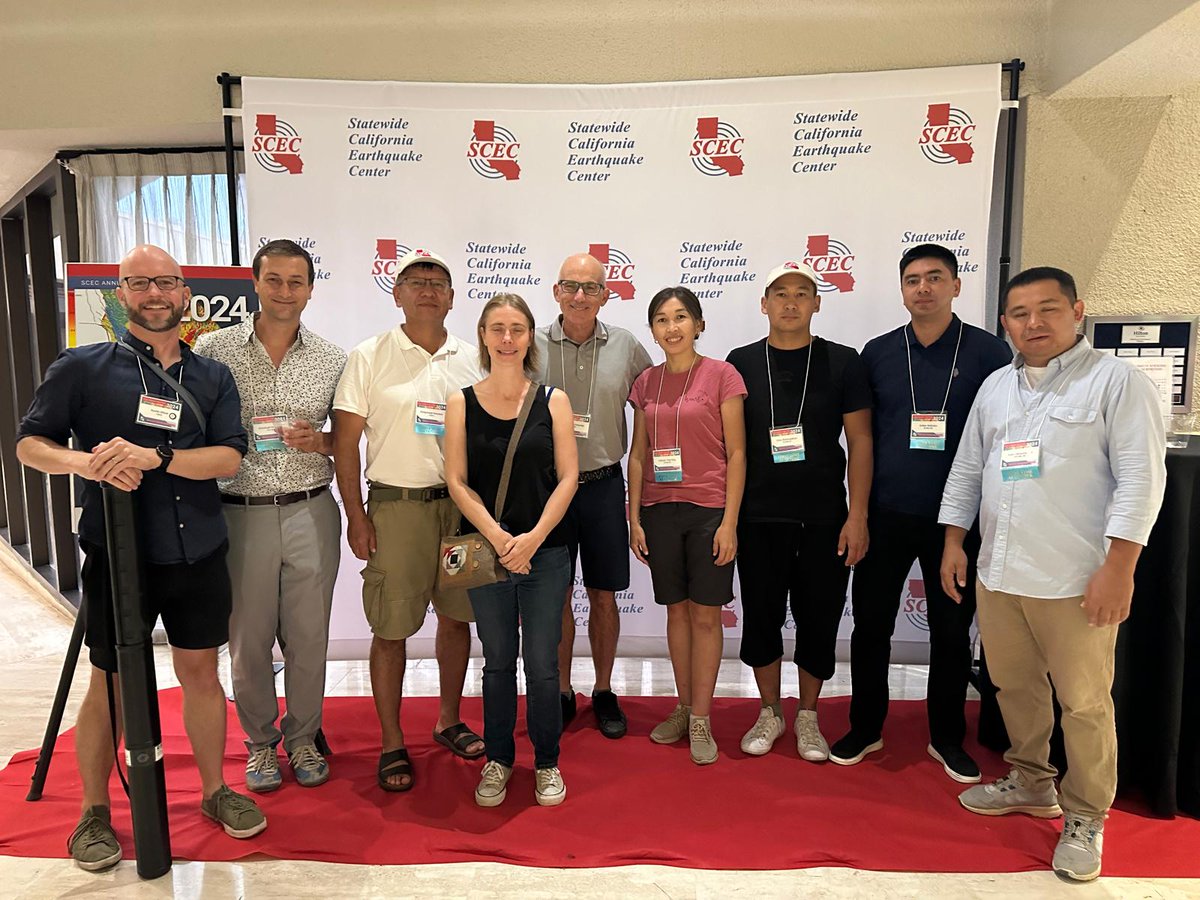
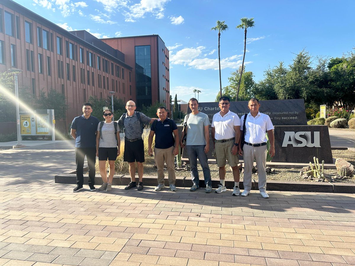
@ramonarrowsmith @RichardThomasW @gulkaiyr0788@AMukambayev
Our group at the #SCECmeet:
@TTremblingEarth, @ch_gruetze, Cholponbek, Magali, @ramonarrowsmith, Gulkaiyr, Erkhin, Sultan, & @aimassemsk.
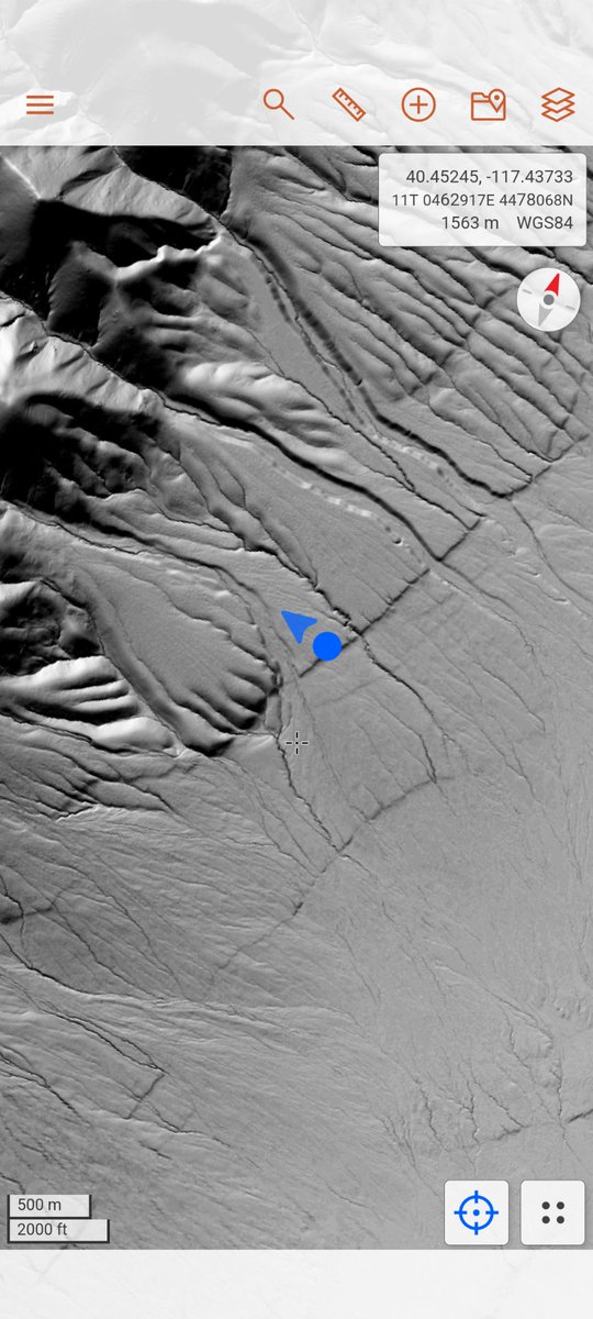
We really enjoyed the meeting so far and tomorrow we'll head off to N Nevada to see some faults!
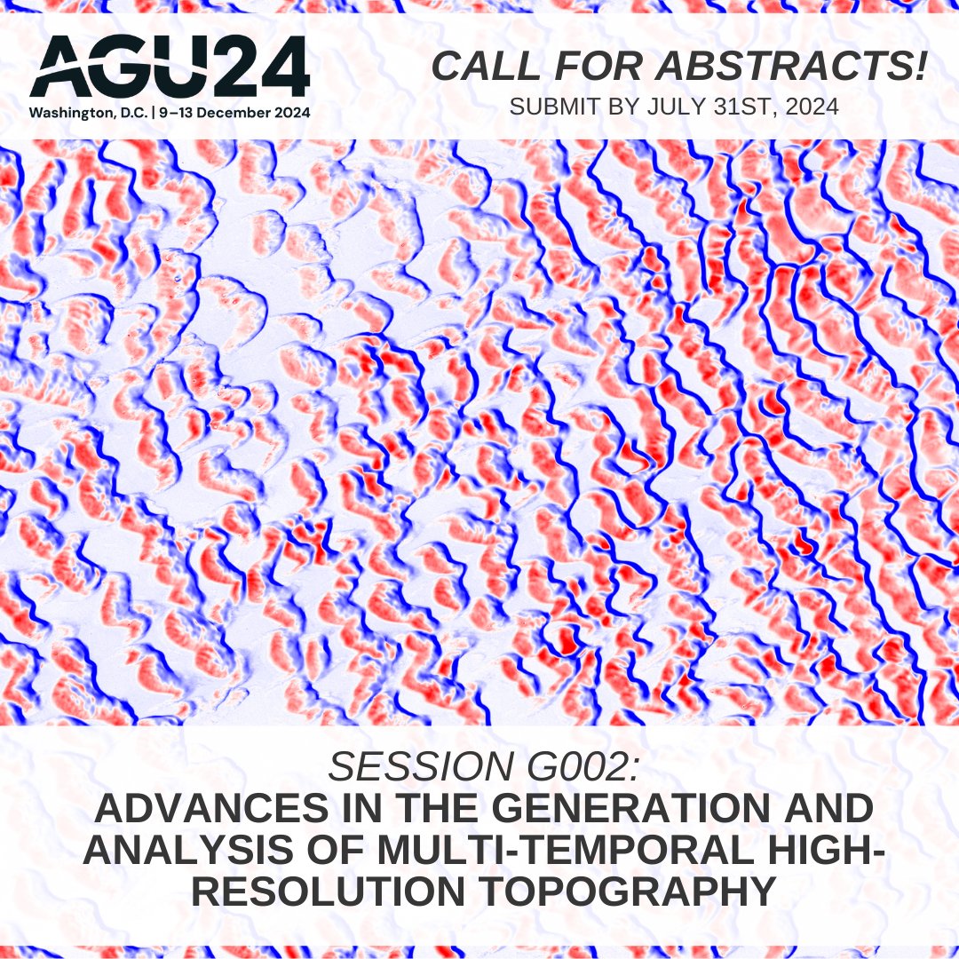
Call for #AGU24 abstracts! Are you developing innovative new methods to produce, analyze, & interpret high-resolution topographic change data? Consider submitting an abstract to our interdisciplinary methods session: https://t.co/5CEyABtUDx #lidar#topography
If you use data from OpenTopography in a publication, you should include a dataset citation. We provide pre-generated language you can copy & paste into your references. This new video shows how:
https://t.co/voiVSCOhMn
OT citation policy for more info: https://t.co/WD7fI9gnPE
Today is the 5 year anniversary of the 2019 Ridgecrest earthquakes (July 4th & 5th). There are several #lidar and photogrammetric (space-based and UAS) datasets available from OpenTopography covering the area impacted by this event: https://t.co/wyrUKaETLf
Join @crosbycj & @ramonarrowsmith for a one day "Introduction to High-Resolution Topography and OpenTopography" short course at the 2024 @geosociety national meeting #GSA2024 in Anaheim, CA on Sat, Sept 21st. More information and link to register: https://t.co/DEPW3YxwcT #lidar
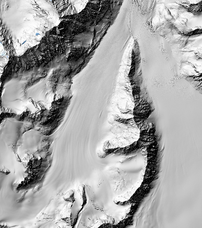
Pair of new @NCALM_UH seed #lidar datasets in Alaska, USA are now available on OpenTopography:
- Monitoring the Mass Balance of Eklutna Glacier, AK 2023
- Detecting Changes in Hillslope Geomorphology Due to Thawing Permafrost, interior AK 2023
More info: https://t.co/AVAphx6EmN
Recent publication by @neotectonic et al., investigates earthquake hazards in the Greater Caucasus Mountains of Azerbaijan using satellite imagery-derived topography & paleoseismic trenching. Topographic data are available on OpenTopography at: https://t.co/wNP2ErrfPa #opendata
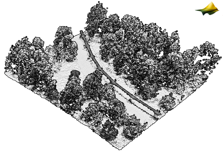
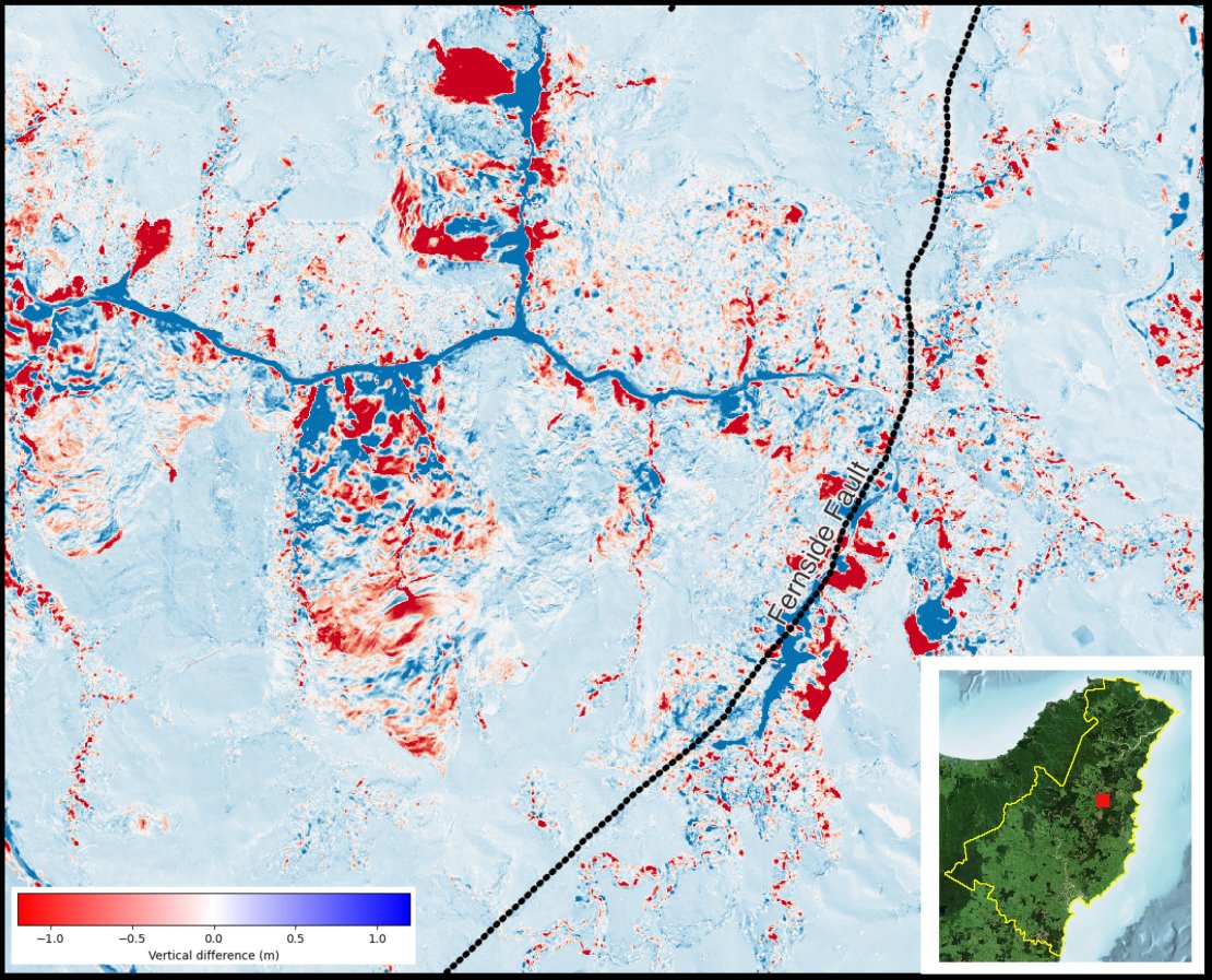
We've added an enhancement for topographic differencing results that allows users to visually compare the change between two overlapping datasets w/ a slider. 📷: Quarry near Washington, Indiana comparing 2013 & 2018 #lidar datasets. Info & more examples: https://t.co/20tgw3udRV
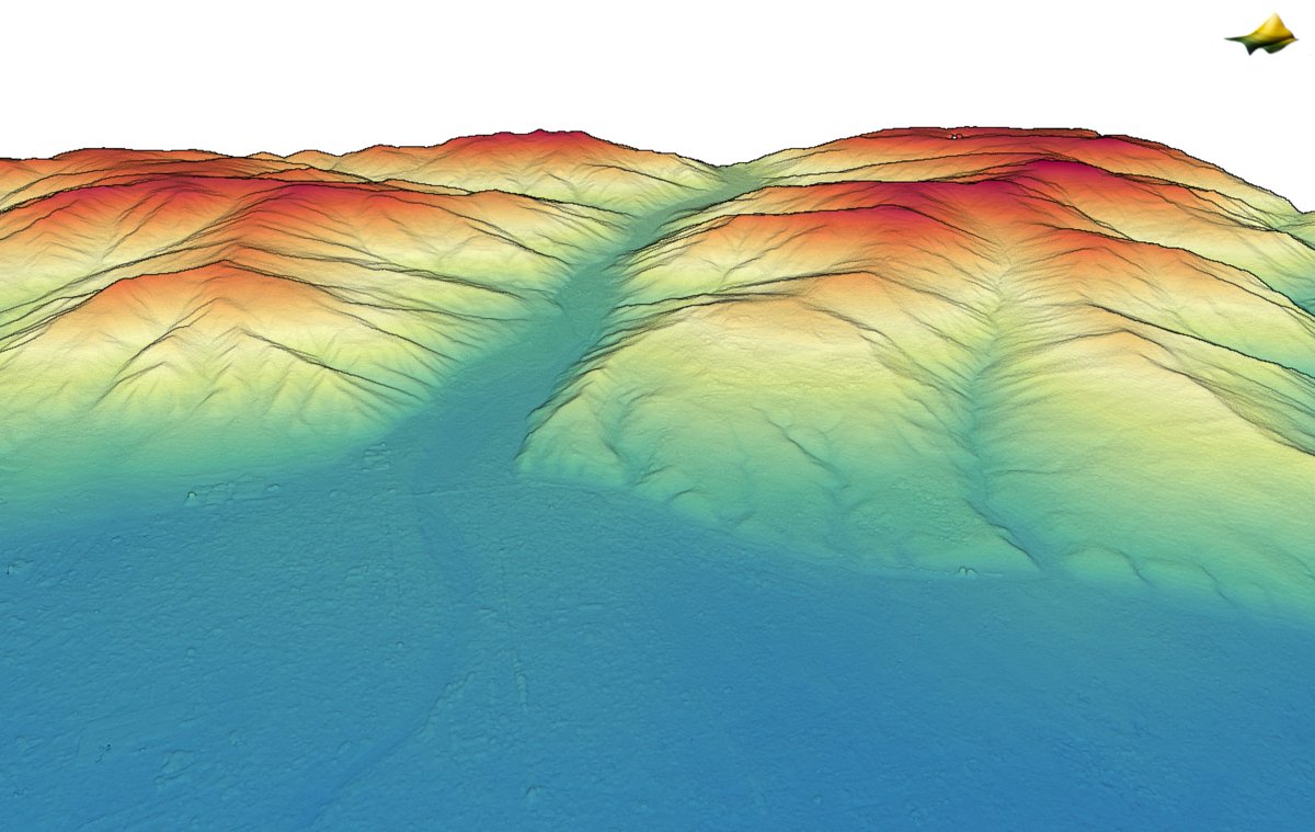
Another round of #lidar point cloud data for the north island of New Zealand 🇳🇿 added to OpenTopography. ~5000 sq km of new @LINZLDS data over Hamilton, Waikato & Gisborne: https://t.co/7ticg0ou6L