IRL Bruce Banner • New Yorker • Gamer • MU '25 • Meteorology Major • Forecaster for MU Campus Weather Service • Former Evening Forecaster for @PAWeatherGroup
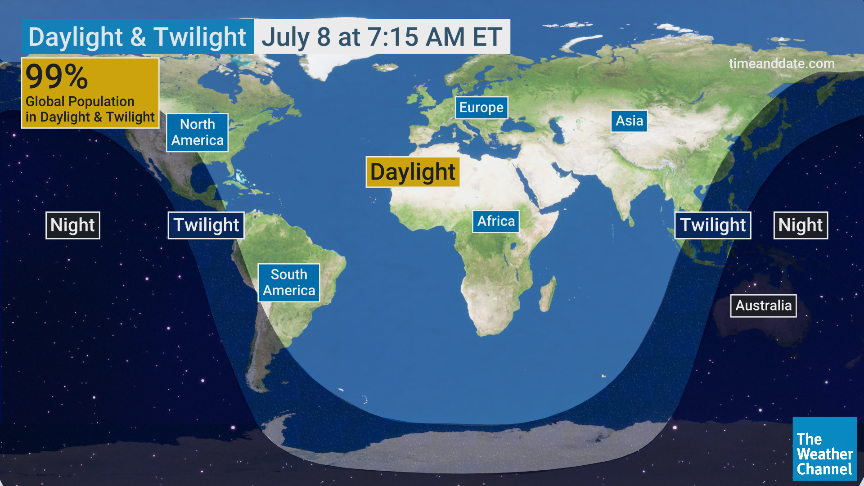
Tomorrow morning at 7:15 ET, 99% of the world's population will have something in common:
We'll all be on the side of the 🌎 facing the ☀️, meaning all of us will be experiencing some degree of sunlight at the same time!
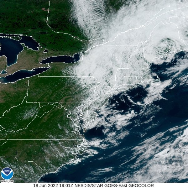
Not a satellite appearance you often see this time of year! Low pressure over New England is helping produce gusty northwest winds, drawing much cooler than average air into our region. What do you think: enjoying the fall feel or missing the heat? #NJwx#PAwx#DEwx#MDwx
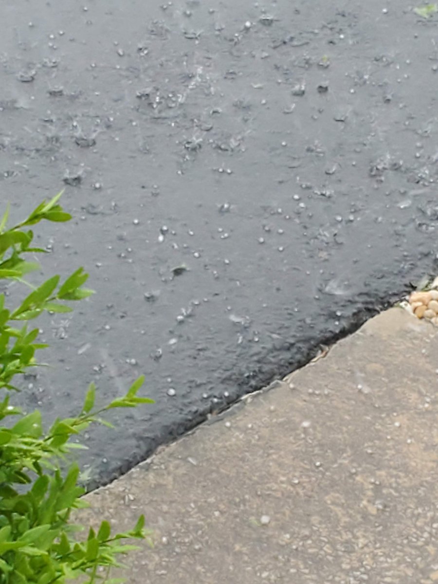
Two years ago today, we had a Derecho move through PA. This was a weird event as this took place before noon, before daytime heating took hold. There was a Mesoscale Discussion issued against 8:30 AM! We had a 2nd round of storms later that gave me hail and 70 MPH winds!
A severe weather outbreak is likely across portions of the northern Plains tomorrow/Monday. Significant wind gusts, very large hail, and damaging, potentially long-tracked tornadoes are all possible. Please check back for forecast updates at https://t.co/cM2G0CEbkz
Just a heads up…We’ve almost reached the time of year where global models start showing major hurricanes 250+ hours out. Don’t believe them and don’t fall for the clickbait. Models are never to be trusted 10+ days out.
Potential for severe thunderstorms on Friday across much of the Eastern US. Damaging wind gusts and a few tornadoes should be the primary threats. Some storms may also produce heavy rainfall rates of 1-2" per hour resulting in localized flash flooding.
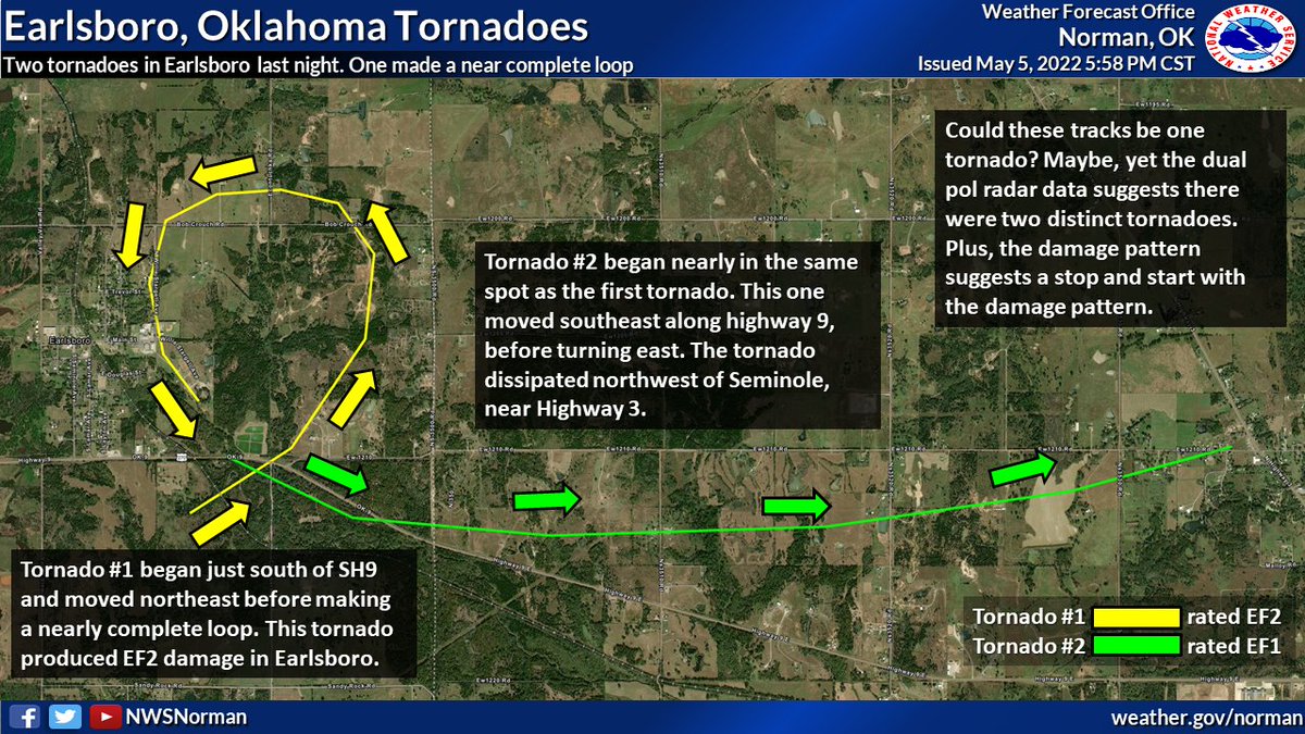
#Tornadoes do weird things. Most of us know that, but here is a weird thing from yesterday. Radar analysis and preliminary damage surveys indicate two tornadoes near Earlsboro around 8:30. The first made nearly a complete loop. #okwx#txwx