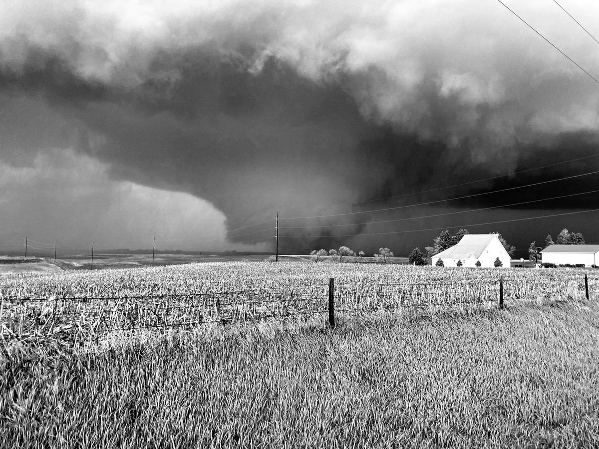
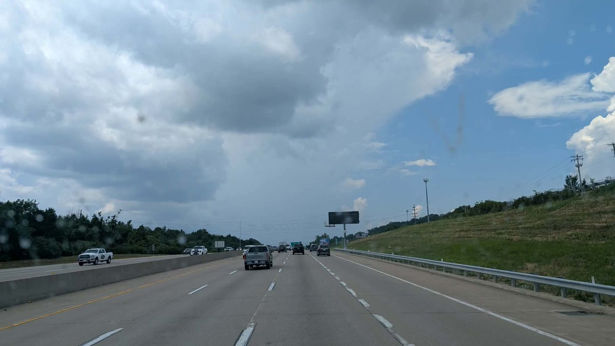
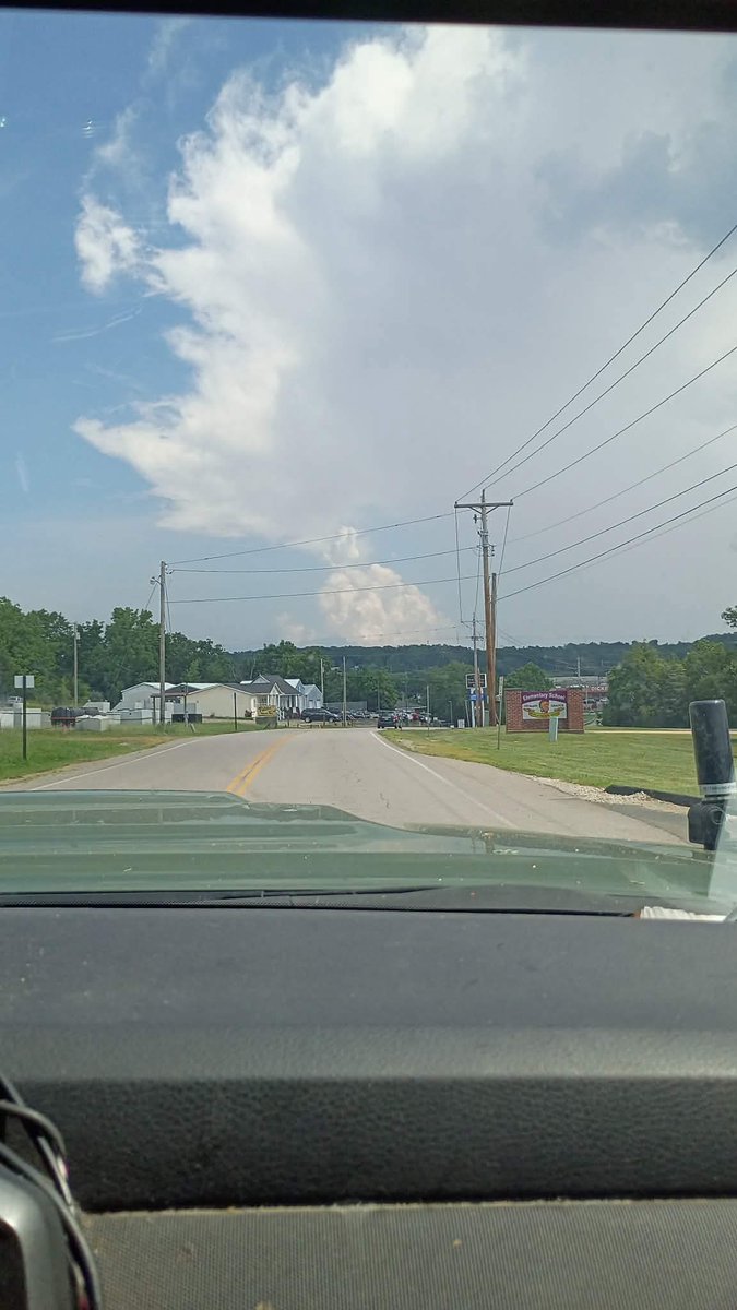
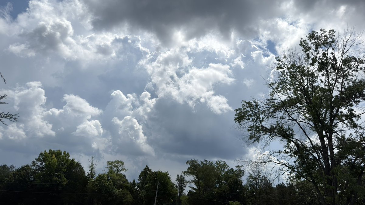
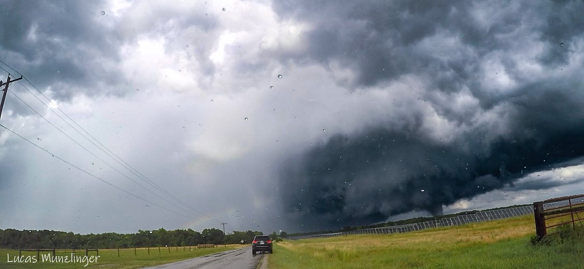
Holy first solo storm chase chase today. I left work at 3:00 PM, and I traveled all the way down to Mount Vernon, Illinois, as the HRRR was showing an isolated supercell near Mount Vernon, Illinois. I filled up my car with gas and traveled north into this developing thunderstorm, which quickly became a tornadic supercell near Texico, IL/Stratton, IL It was such a beautiful stovepipe/multi-vortex tornado; sadly, it caused destruction to homes. Definitely insane to see debris orbiting the tornado. Thoughts and prayers to those affected today by this tornado.
#ilwx
Hello, I’m Lucas of @MWStormTrackers. I’ve been chasing since 2016; I’ve dedicated countless miles with people to chasing these across our nation.
Here are my top 4 personal tornadoes from the past couple of years!
#1 — > June 21, 2026 Texico, Illinois
This chase I’ll never forget. It was my first solo tornado, which is rated an EF3, with incredible storm structure for an Illinois MCV day.
#2 —> June 27, 2020, Cuba, Missouri
This EF0 tornado will always have a special place in my heart. It was one of the defining moments early in my chasing career, especially witnessing it with my father @MuttlyJeff.
#3 —> April 17, 2025 Akron, Colorado
This chase day was awesome, especially since it was my first time in the state of Colorado, snagging this photogenic tornado with my friends @jacobspinkcamra and @ZSpinkWx; it was definitely a relatively easy day.
#4 —> May 16, 2025 Sikeston, Missouri
This chase day should be number one, though it can’t be surpassed due to witnessing a tornado with my father in June 2020. What makes it number one, in my opinion, is seeing multiple photogenic tornadoes with my friends Jack Jester, Jacob Spink, Zach Spink, Austin Miller, Kenji Portillo, and a guest. Getting a direct-hit probe deployment shows that teamwork does work!
My Top 3 Tors :
#3-Galatia, KS—5/26/21. My first wedge + incredible structure later in the evening.
#2-Greenfield, IA—5/21/24. The most violent I’ve chased, but low LCLs and haze made it less photogenic.
#1-Minden to Manilla, IA—Long track, photogenic, violent tornado.
On this day 6 years ago
The morning of June 27, 2020, started like any camping trip day. I roll out of my bunk, grab a water and my phone, and head outside to put a piece of wood on the campfire to keep the bugs away. I was aware that there was a marginal risk for the area (Steelville, Missouri), so I pulled up the Storm Prediction Center risks and saw a marginal risk but no tornado risk at all. I looked at the forecast, and it called for isolated thunderstorms in the afternoon and evening.
It was definitely a struggle to get good cell service to look at the model runs, so I gave up on that. So, for the rest of the day, the family and I relaxed. My dad (@MuttlyJeff) and I went to the pond at the campsite and fished for a little while. I caught a crappie, almost two. Dad didn’t catch any, just nibbles. Dad and I decided to go up to Steelville, Missouri, to get some bait and some crickets to catch more crappie. They didn’t have any, but that’s ok. We got some worms for bass fishing. After that, we headed just a little down the road to get some ice cream at the Dairy Isle & Grill. Dad got a Reese's concrete and a banana split, and I got a cookie dough concrete. After we got the ice cream, we hopped into the truck and headed back to the campsite.
After a while, I got a text in a weather chat with my friends, and I created a message to my friend, showing a simulated storm on the weather models for my area at 6:00 pm. It looked interesting, so I kept following it. Later, I asked my friend Calvin Thomas (@DopplerWx) for an updated radar scan of the storms. There was a severe storm that looked good, so I grabbed my camera gear and headed out to the field facing it. I set up my camera, ready to take some lightning photos. I took another look at the radar super-res velocity and saw broad rotation, so I grabbed my gear and ran to my dad. He was in the camper at the time, getting ready to prep for dinner.
When I got to the camper, I opened up the door and looked at my dad and said, “Dad, look at this storm. It’s gonna produce a tornado. I know it. I can feel it in my gut. Please take me up there!” He said ok, so we hopped into the truck and peeled out of the campsite on our way to Cuba, Missouri, to have a date with a storm. When we got to Cuba, the sky looked ominous, everything was quiet, and there was no wind. Had a feeling something was not right. I was excited and a little nervous, but I knew what I was getting into. I also knew what I was doing.
Dad asked me where to go, so I told him to drive to the truck stop (Midwest Petroleum Diesel Island). While we were at a red light on MO-19, I rolled down the window to give a heads-up to some folks on motorcycles: there’s hail and heavy rain, and this storm could produce a tornado. They replied, “Thank you for letting us know.” The light turned green, and we headed to the truck stop's parking lot. We pulled in facing northwest. I grab my gear and set my DSLR camera up to take photos automatically. The structure of this storm was beautiful. Around 5:37pm, I can start to see all the dynamics of a supercell.
The first one is the wall cloud with an inflow tail. We see the first funnel cloud. At 5:41 pm, we can now see a big cone funnel. The supercell is now ramping up as the storm heads toward us. The tornado is becoming rain-wrapped as the storm moves over us. In the blink of an eye, the storm was on us as we were getting strong westerlies. The tornado was in front of us; the rotation was tightening up, then there was a tornado on the ground!
The moment is tense as the tornado is on the ground. The truck is shaking. I still had the live stream going on Midwestern Storm Trackers Facebook page. My dad and I saw pieces of shingles and tree branches falling and spinning around the tornado. Then, in the blink of an eye, the moment was over, and everything was calm. The tornado has passed and dissipated. After that, we headed back to camp to eat dinner.
@rneffwx@Stormchaser_TS #mowx
The next round of severe weather to chase is expected tomorrow in Northern Oklahoma and southern Kansas. The Storm Prediction Center currently has a slight risk with a 5% hatch area wind, and hail is also a concern, though it looks like the tornado potential is the most concerning
@RealGabeWhite,@JustinCarterWX, @VultureEyePhoto, and I will be heading to Kansas tonight after Marcus and I get off work to get in position for tomorrow! Stay tuned for more!
#okwx #kswx