@evan_bentley Will the conditional hail/wind/tornado probability products from the current HREF be available with the REFS model, and will they keep the current HREF viewer website and just display REFS data in it?
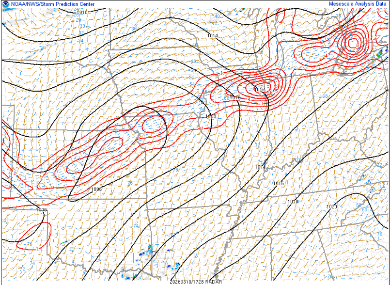
The enhancement of this boundary is really evident in 3hr surface temperature change analysis. Cool lake breeze CAA and warm-sector WAA clashing in N. IL is enhancing low-level convergence and low-level frontogenesis. #ILwx
SharpJS v1.32 coming this friday on https://t.co/UqXGb2ceOF!
- Map insets for soundings, including parameters and other overlays, thanks to @MikeBWeather!
- Dynamic hodograph scaling as a setting
- Bug fixes to ECape, bulk shear values and lapse rates
🧵 How drones are changing tornado science (and your future warnings):
1/ 🚁 NSSL and @CIWRO_ are using uncrewed aerial systems (UAS) to fly into areas too dangerous for humans, gathering pressure, temperature, wind data and more... right where tornadoes form.
🚨 Forecasters LOVE faster radar updates from Phased Array Radar!
Inside @NOAA's Hazardous Weather Testbed, we’re testing dual-pol PAR data to see how quick scans & better detail help improve warnings.
⚡ Fast updates = smarter alerts!
@NOAAResearch
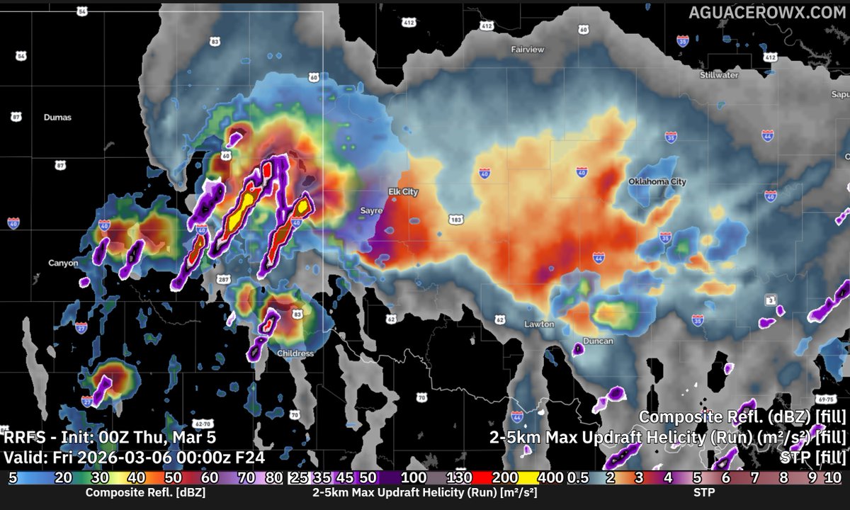
With v1.2.5 released, AguaceroWx is proud to be one of the first model viewers to allow users to visualize the sub-hourly HRRR! This model has a time step of only 15 minutes and comes with limited surface parameters.
Available now FOR FREE at https://t.co/E4FpZiioN1
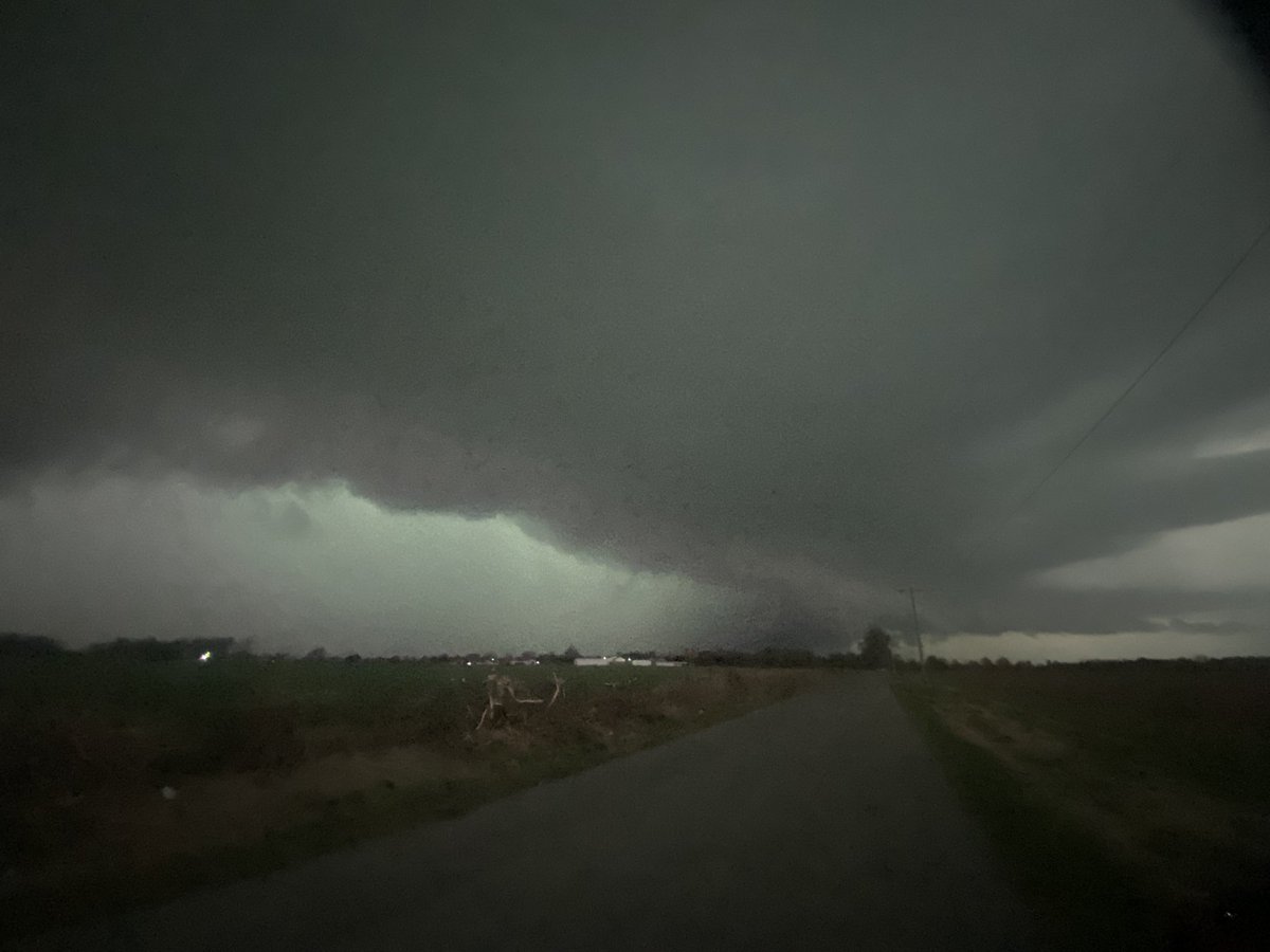
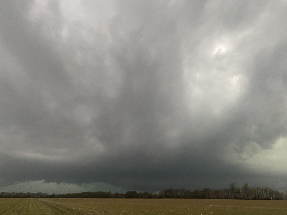
A little timelapse from earlier. Watch the occlusion take place, and notice the remnant mesocyclone moving right once the outer arm starts to come overhead :)