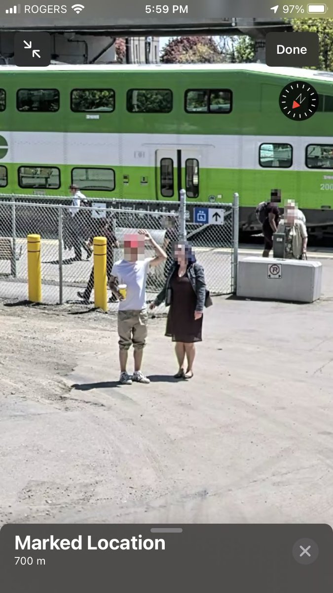
Today it gets even better, starting with Apple Maps Look Around, where you can see interactive panoramas around most bus stops across the country, so you can familiarize yourself with the surroundings before you even get there. 3/9
@ahkashani@ashwinl@ServeRobotics This is great to hear that operating costs are going down. Food delivery makes a lot of sense (and using cars+people does not). It’s specifically the taxi business I have a hard time seeing automated any time soon.
@ashwinl@ahkashani@ServeRobotics Yes I agree food delivery is a better model than taxis when you take road safety out of the equation (mostly). I’m not so sure about operating costs decreasing so much when you need to deal with the elements, though. (And vandalism.)
@ashwinl@Petercampbell1 What makes Robotaxis a good business? You’re replacing something cheap to operate (entry level workers with their own cars) with something very expensive to develop/buy/operate/maintain. It makes no sense.
Im continuously hunting for antiques and vintage pieces. This caught my eye today:
“Apple Maps” circa 1982 :)
https://t.co/UoFIK9QR57
cc: @RossAnderson@kepsolution @tiagoetiene
Made a comparison between 'Street View' and 'Look Around'. The difference in performance and image quality is insane!
Google Maps (left) vs. Apple Maps (right) 🗺
Looks like the new and improved Apple Maps went live in the Winnipeg area, including Look Around, and I have to say, Apple has done a bang-up job with it, leaving nearly no stone unturned, even a good chunk of the north (but unfortunately not Thompson). Great stuff @cue!
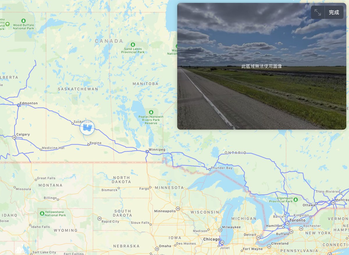
This is crazy, Apple Maps rolled out “Look Around” almost nation-wide, coast-to-coast in Canada!
By comparison, in the U.S. this is only available in a handful of cities, like Chicago, NYC, SF, LA.
First time Canada gets more “tech attention” than the US!
#AppleMaps#Canada