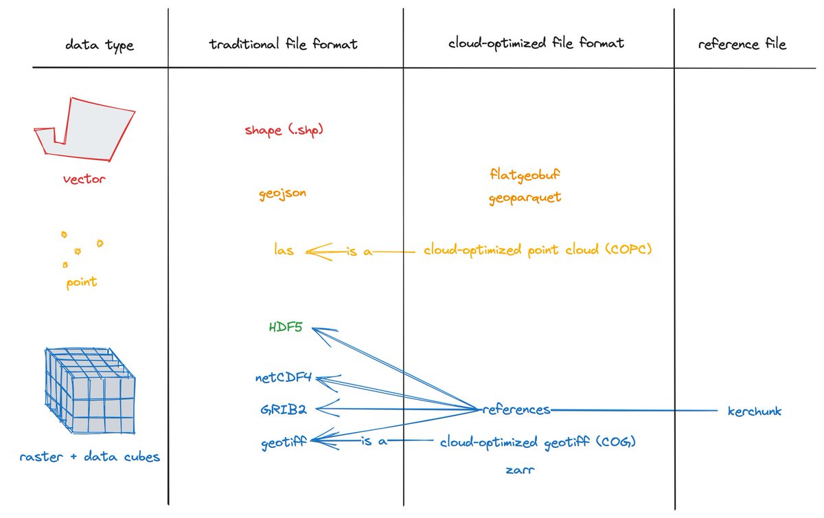
Nétek R. (2020): Webová kartografie - specifika tvorby interaktivních map na webu. První publikace komplexně popisující aspekty a principy webové kartografie. ✅👨🎓👍 https://t.co/uT3nhs68vC
@StandaPopelka and @konicek_jakub from @gis_upol are organising an online International Spring School on Visualization - Seeing Through Lies: Mapping Trust in the Age of Misinformation - definitely worth applying!
https://t.co/aachHVkIX4
@carto is one of those super cool web mapping, cloud-based, desing-oriented platform ... but after 120 days of inactivity they block and delete whole account? wtf?
@ondrej1974 Btw. GM je primarne zdrojem vysoce cennych uziv. dat pro ekosystem google a zaroven reklamnim kanalem pro prodej placene reklamy, a teprve az potom plni funkce nejake mapy, o kartografii jim vubec nejde.
@ondrej1974 Vyhravaji oboje, zalezi odkud se na divate. GM jsou globalnim produktem, z kartografickeho pohledu zalozenem na kompromisu, aby to +- uspokojilo uzivatele v EU/US/latinske am./asii A uspokojit tak protichudne pozadavky ruznych kultur je nemozne.
Utilizing the powerful capabilities of #QGIS Atlas mode in layout view to create data-driven content. The freedom & flexibility of #QGIS expressions help me take Atlas pages to the next level. Commissioned project in Saudi Arabia. Work in progress. #cARTography#MakingMapsPretty
After 2.5+ years, Terra Draw v1 is finally released 😌
✏️ Draw on web maps with the 10 built in modes (Point, Line, Polygon, Rectangle etc!)
🗺️ Supports Leaflet, @maplibre.org, @openlayers.org, Google Maps, Mapbox
Check it out: https://t.co/2g2bcvy20J