@tjukanov Here is my collection for 2022 #30DayMapChallenge. Congratulations to everyone who participated in the challenge. Hope to take part in the comming years as well.
https://t.co/AnjtrhUZ73
Day 30
Final day. Today's theme is "Remix". For this, I have just used the pydeck package (the terrain layer) and created a simple application
Video Link - https://t.co/ItAT9avPFF
#30DayMapChallenge#pydeck#terrainmaps#python
Day 29
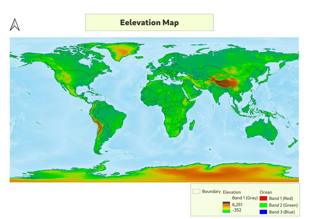
Today's theme is "Out of comfort zone". I mostly prefer Python for any kind of mapping work that requires data manipulation. Throughout the days I have been learning qgis for some mapping work.
Data sources
- https://t.co/ExPrMIz2uz
#30DayMapChallenge#qgis#elevation
Day 28
Today's theme is create a 3D map. I am using a new Python package which pydeck.
I have created a 3D map showing the robberies that happened in San Francisco.
Data Source
- https://t.co/VJ263hUWPp
- https://t.co/IA6TodzEl4
#30DayMapChallenge#pydeck#python
Day 27
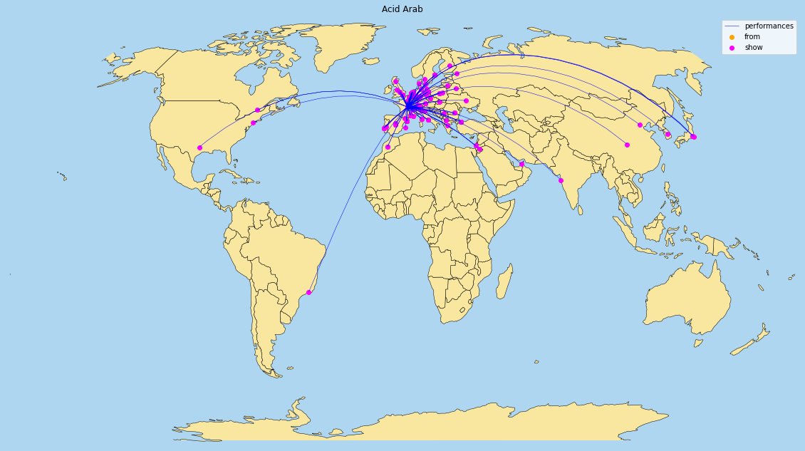
Today's theme is Music. I got the data of top 1000 DJ's who performed at various places. For this, I am just showing the network map of 2 of 1000 DJ's with all the places they had performed.
Data sources
- https://t.co/jsGmKWhjYu
#30DayMapChallenge#geopandas#python
Day 26
Today's theme is to map the islands. I have got the data of Leeward Islands and created a map of landcover polygons using qgis.
Data sources
- https://t.co/jqraUqYjYM
#30DayMapChallenge#qgis#islands
Day 25
Today's theme is (Friday special) map with two colors. I have just created a simple map with two colors showing land and water.
#30DayMapChallenge#world#land#water
Day 24
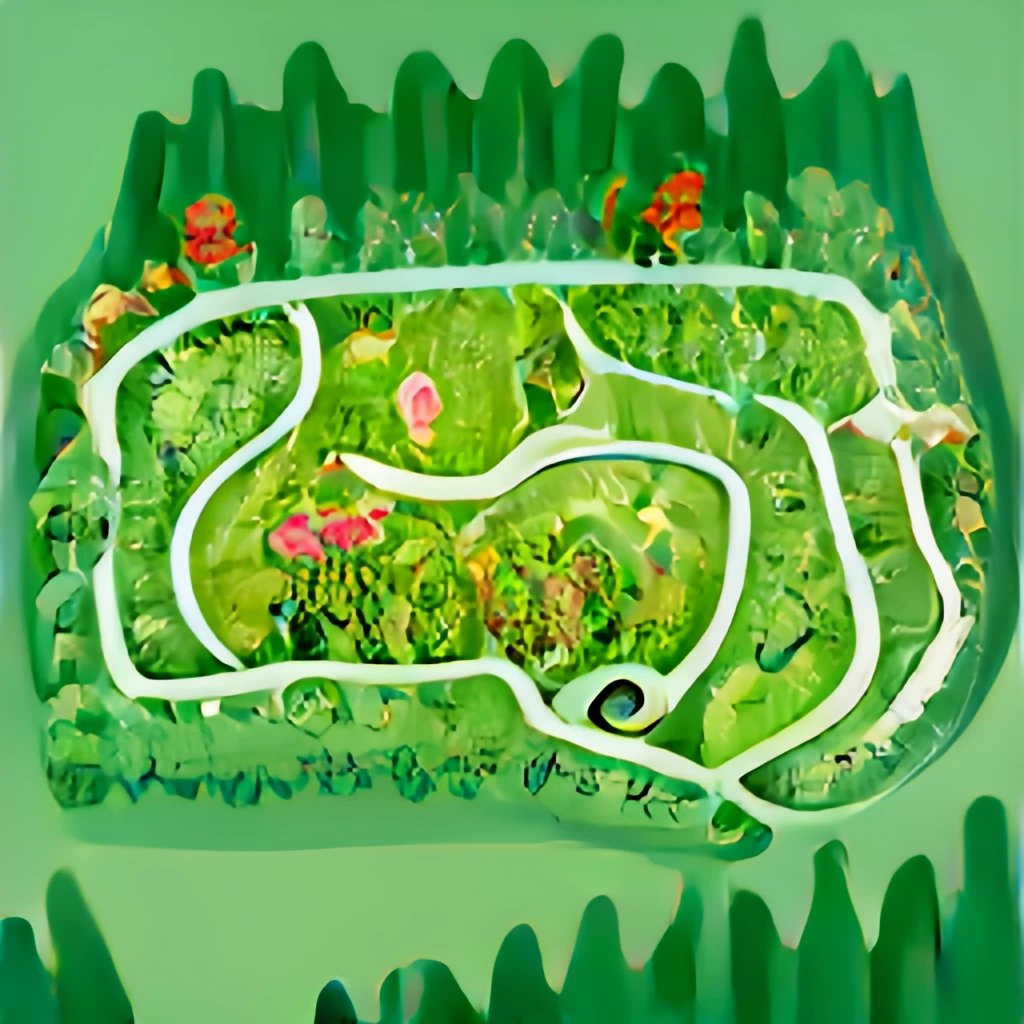
Today's theme is fantasy. For this, I have decided to use dalle (https://t.co/9BxZAIg0jE) online AI based text to image converter. I just used this tool to create a map of beautiful garden.
#30DayMapChallenge#dalle#fantasy#ai
Day 23
Today's theme is movement. For this, I have considered to plot the movement of a sea bird (for one bird) while it was roaming to catch fish.
Sources
- https://t.co/trQ0Z0fnuy
- https://t.co/MnKETSASAL
video - https://t.co/ToT6hbs642
#30DayMapChallenge#movement
We're happy to announce GeoPython 2023, March 06-08 in Basel, Switzerland - the conference for #Python and #Geo
Call for Speakers is now open: https://t.co/CR8pyYL3zF
#python#geospatial
Day 21
Today's theme is to create a map using Kontur population data. I have used the data of my district (Anantapur, AP) alone as it was a huge dataset.
Data sources
- World (https://t.co/J7AU3zfFsG)
- India (https://t.co/KiBnyt5SBJ)
#30DayMapChallenge#python#geopandas
Day 20
Today's theme is to create a map of one of our favorites. For this, I have considered to create a density map of earthquakes using Python and Plotly.
Please visit (https://t.co/hAo92YzfM5).
Data sources
- USGS (https://t.co/ADNKz8JRPV)
#30DayMapChallenge#python#plotly
Day 19
Today's theme is to create a globe. As part of this, I have create a thermal topography map.
Data sources
- https://t.co/FfRASFG5gX
Helpful article
- https://t.co/BtsqcLyteI
#30DayMapChallenge#topography#python#maps#data
Day 18
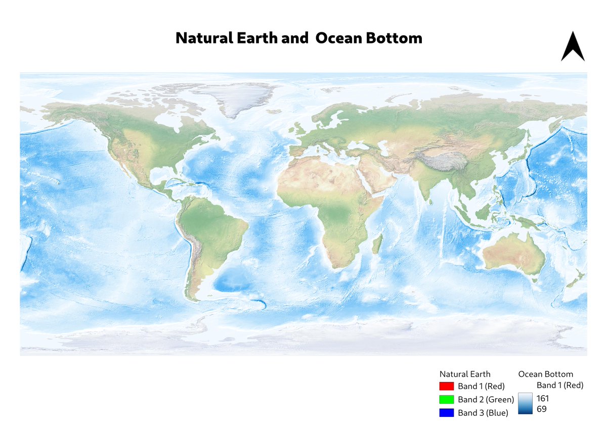
Today's theme is create a blue map (Friday special). For this, I have considered to use the datasets of natural-earth and ocean bottom for the map.
Data sources
- https://t.co/6pLZrFQvPe
- https://t.co/VauEUILdjm
#30DayMapChallenge#rasterdata#qgis#maps
Day 17
Today's theme is to make a map without computer. For this, I decided to draw the map of my device location. I used "Find my device" app and just drew the map on the paper.
#30DayMapChallenge#maps
Day 16
Today's theme is to create a map with minimal requirements. For this, I have considered to use the roads data of AP (India) and plot in black and white themes.
Data source
- https://t.co/R4WVEQAVVq
#minimal#30DayMapChallenge#python#maps
Day 15
Today's theme is to create about food/drink. For this, I have considered the data of Fast-food restaurants across US as of 2018. I have created a density map using.
Data sources
- https://t.co/SxbG7coKDc
- https://t.co/Qaabml9ltk
#30DayMapChallenge#python#plotly#maps