Day 12 of #30DayMapChallenge - Power
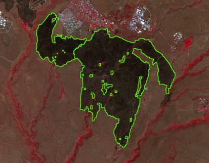
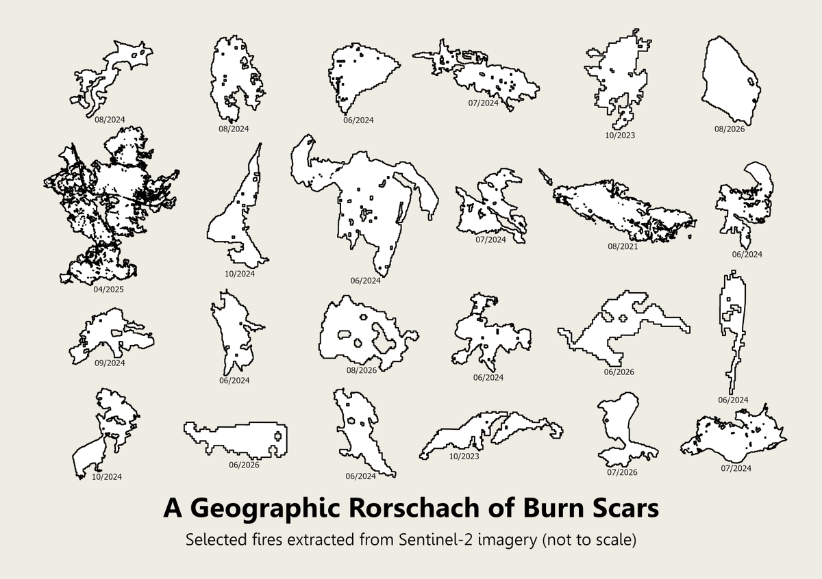
A Geographic Rorschach of Burn Scars: a 2026 update of fire scars in Israel resembling Rorschach inkblots. Each polygon represents a real burned area mapped using Sentinel-2. Shapes are real, but scales vary.
Day 11 of #30DayMapChallenge - Noise
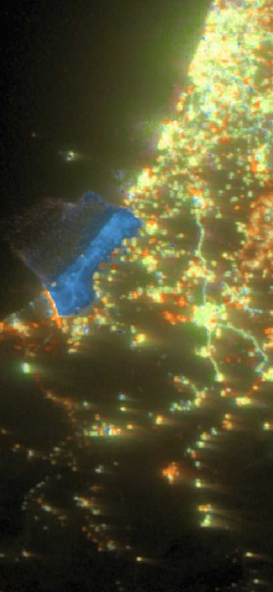
Nighttime lights from VIIRS satellite data (2019–2024).
Green represents noise (short-term fluctuations), while blue and orange indicate the direction of longer-term change (dimming and brightening).
Day 9 of #30DayMapChallenge - Urban-Rural
Streets & Fields: urban and rural landscapes from Sentinel-2 imagery (2.11.2026), reimagined with Van Gogh-inspired brushstrokes
Day 8 of #30DayMapChallenge - Utopia
I aimed for utopia and ended up with dystopia.
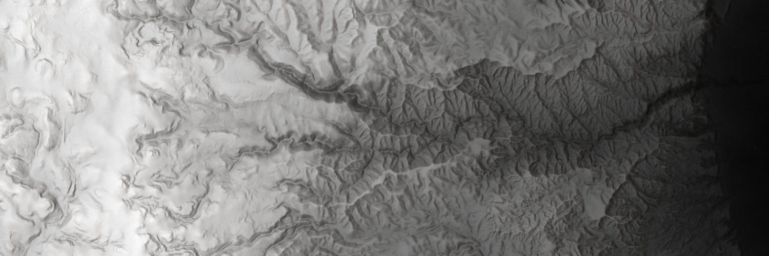
Mount Taranaki, New Zealand: terrain-based flow paths styled as lava, with points depicting an eruption and rain. (Clouds and shadows are PNG images.)
Day 7 of #30DayMapChallenge - 10 minute map
Phytoplankton in the eastern Mediterranean.
Maximum chlorophyll-a concentration at each pixel, 1 Aug - 29 Oct 2026, using Copernicus Marine satellite data
Day 6 of #30DayMapChallenge – Vintage
Reviving a 1946 “Palestine Today - The Land of Israel” map with Claude and elevation data.
(Note: the original map image was very low-resolution)
Day 10 of #30DayMapChallenge – Prompting only (GPT):
"Create a map inspired by the song Trans-Europe Express by KRAFTWERK.
The map should be minimalist, elegant and uncluttered.
The colour palette should reflect the colours of the band’s albums (red, black, white, light blue)."