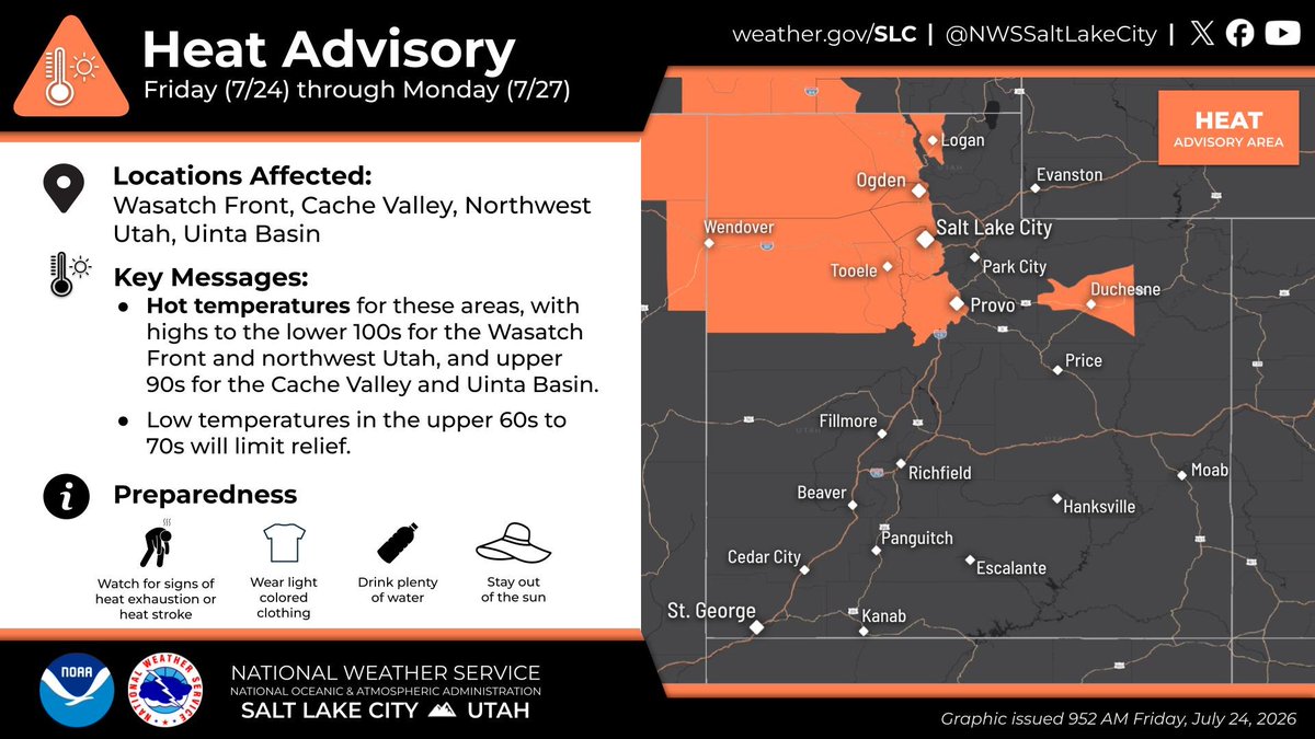
The valleys of Northwest Utah, including the Wasatch Front, as well as the Uinta Basin will see an increased chance of heat related illness through Monday as high temperatures get up to the lower 100s in some areas. Be prepared for hot temperatures! #utwx
⚠️ From the Juab County Sheriff's Office: Immediate evacuation has been ordered for Eureka, Mammoth, and Silver City due to the #CherryFire. Shelter is available at the LDS Church in Elberta.
A series of cold storm system will move through Utah this week, each bringing colder temperatures and wet weather. Visit https://t.co/FmlUW30Nr6 for more details on the forecast! #utwx#wywx
@alejandraoraa Definitivamente no soy fan de su trabajo pero entiendo perfectamente el trasfondo de todo lo que ha hecho recientemente y el impacto social que ha tenido. En hora buena para él y su equipo... Veremos el año próximo nuevas caras y nuevos proyectos en los #GRAMMYs
⚠️Heads up Wasatch Front! A brief period of even stronger wind gusts could accompany this line of storms moving through northern Utah. [1:15pm Wed] #utwx
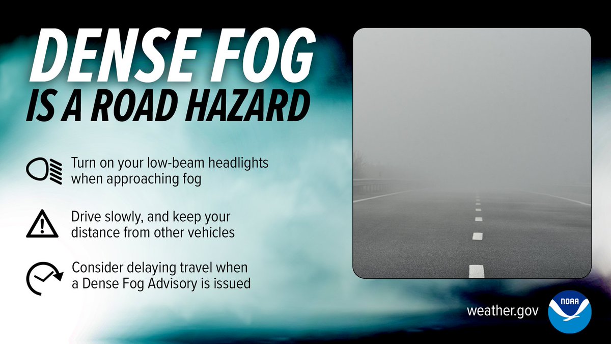
A dense fog advisory is in effect for Davis and Weber Counties until 9 AM. Near 0 visibility is being reported on the West Davis Corridor from West Haven to Farmington. Fog will likely expand south and east with time through the overnight hours. #utwx
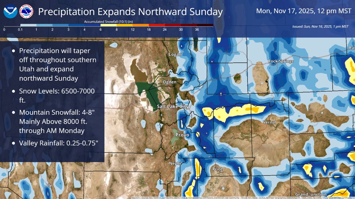
A storm system that has brought valley rain and mountain snow to southern Utah will expand northward, with valley rain and mountain snow lasting into Monday. #utwx#wywx
🚨ANOTHER STRONG COLD FRONT🚨
Here we go again and this one might be even bigger! Strong southerly winds will develop Sunday and Monday. A powerful cold front will move into Utah Monday evening. Rain will change to snow in the valleys Monday night and it could be heavy. Snow is likely Tuesday morning with a few snow showers Tuesday afternoon. I'll have more details and updates later but wanted to get this on your radar. Have a great Saturday! #utwx
Valleys: 1-4"
Benches: 3-8"
Mountains: 12-24"