"The NOAA aircraft left the storm early after
experiencing severe turbulence in the southwestern eyewall."
These men and women are not being paid due to the US government shutdown. Not to mention that according to AOML's director emeritus Robert Atlas, they are down 40-50% staff
New paper released led by my former student! Using small UAS to calculate exchange coefficients at the air-sea interface in low winds. This is the result of years of development and validation by many involved in the project: https://t.co/2ZqVhK6Ywe
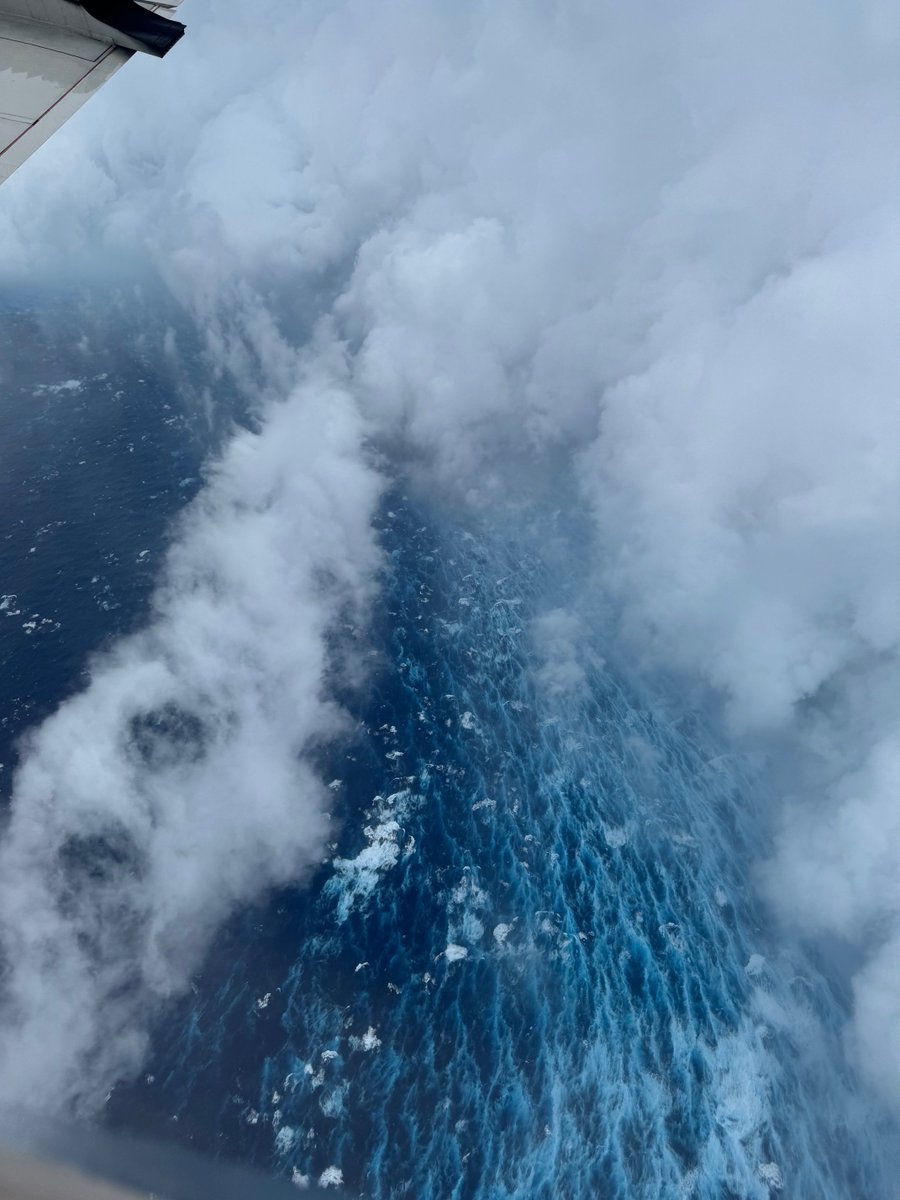
Aug 16: Images from @NOAA_HurrHunter and the @NOAASatellites Ocean Winds team show an intense eyewall in Hurricane #Erin This photo shows the ocean surface calm in the eye and roaring in the eyewall. For the latest forecast visit https://t.co/tW4KeGdBFb
This week marks one year as a Flight Director. I so happen to have just recieved my updated patch as well.
I really am so grateful and love my job so much. 🥲
The 2025 Atlantic Hurricane Season is officially here!
We’re gearing up to collect data that helps improve forecasts and protect lives and property.
Remember, visit https://t.co/0W0v11zPGt for the latest forecast and advisories. The best time to prepare is now. Stay safe! #FlyNOAA
Excited to announce a new @AMSPublications BAMS article: What was the Bumpiest Flight Ever on NOAA’s WP-3D Hurricane Hunter Aircraft?
https://t.co/l2qDATLWxK
https://t.co/vS6IiQC2sv
https://t.co/t9Btv8bjHF
Former National Hurricane Center Director and Local 10 Hurricane Specialist Max Mayfield also voiced concerns:
“The other countries in our region also benefit from NOAA Hurricane Reconnaissance and Hurricane Surveillance Flights.”
✍️: https://t.co/nGFY2sk29d 3/
It's been really sad to see great people like Kerri and Andy get let go. Their expertise takes years to gain and the country is worse off if they are not working to improve weather forecasts.
https://t.co/JoHdfQyuvG
Hey. It’s been a minute. But my friend @AndyHazelton could use your help. Please consider supporting him and his family during this period of uncertainty. Thanks! https://t.co/jIFNo4TGnY
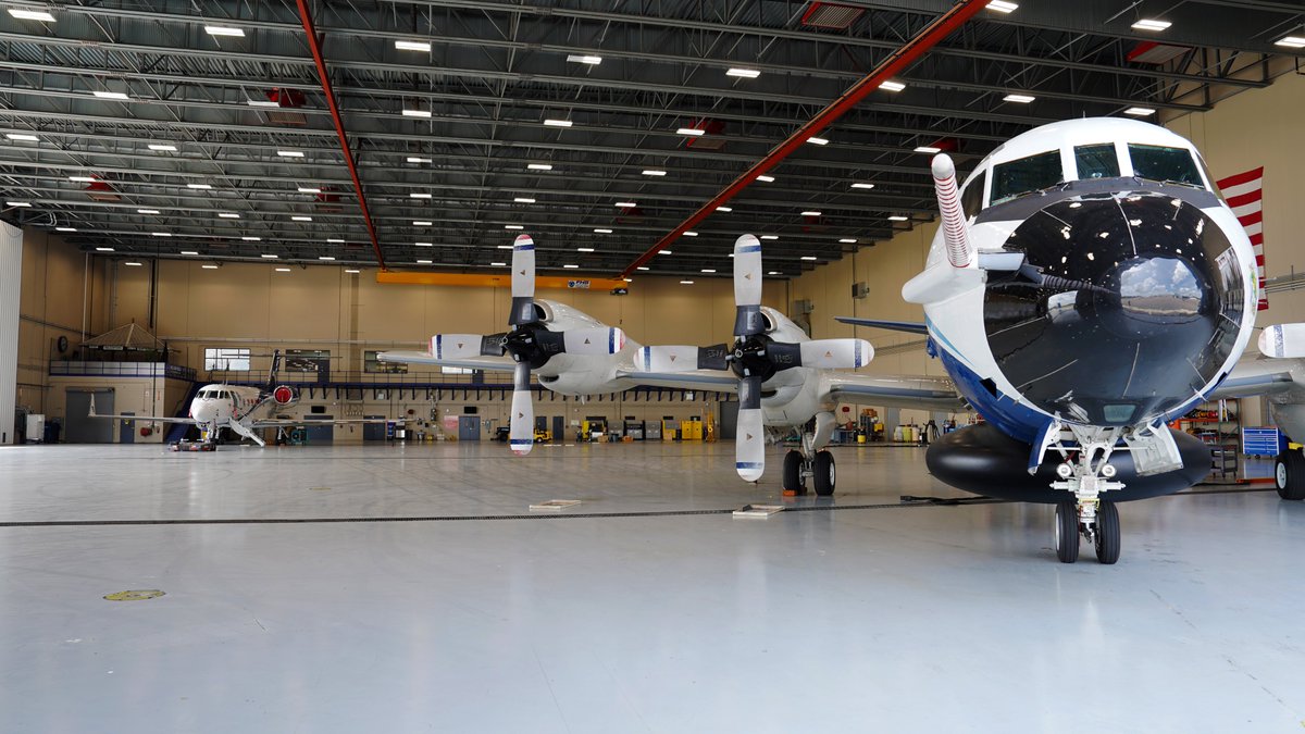
These are two of my awesome co-workers, meteorologists, and Flight Directors here at NOAA’s Aircraft Operations Center. Aren’t they so cool???
You, too, can be like them! We are hiring!
Public: https://t.co/kW56tmsgZN
Status: https://t.co/E7M806UEns
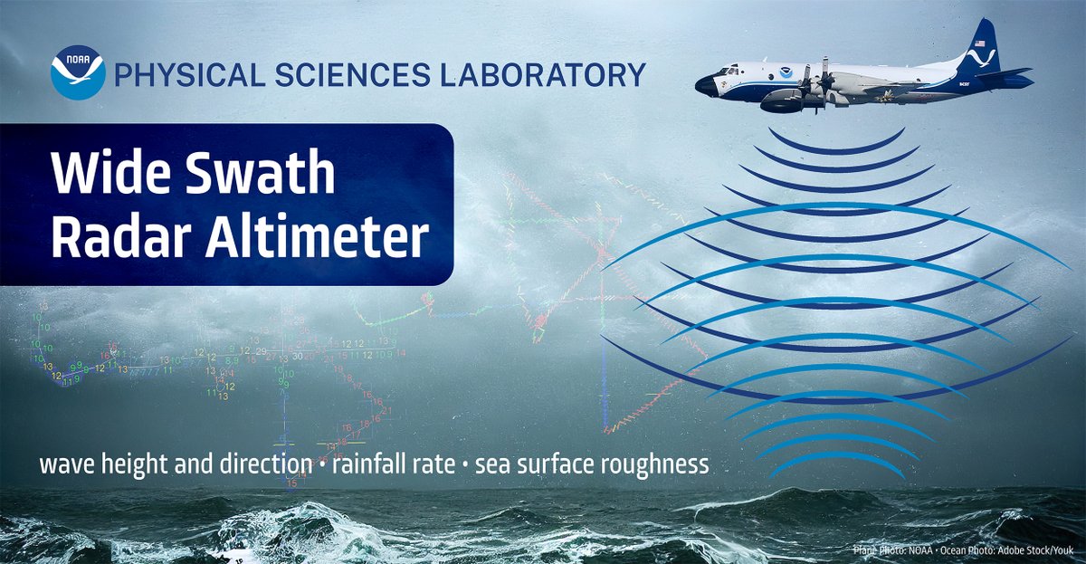
#DYK@saildrone isn't the only way @NOAA measures wave height during a #hurricane? Currently installed under @NOAA_HurrHunter, NOAA Physical Sciences Lab's Wide Swath Radar Altimeter produces a detailed map of ocean wave height, speed, & direction: https://t.co/mewkB1qlrm
As Florida residents braced for the arrival of Hurricane Milton, Dr. Josh Wadler was flying directly into the massive and powerful storm aboard a National Oceanic and Atmospheric Administration Hurricane Hunter aircraft.
Read more: https://t.co/e1aOcfjai9 #GoERAU
The greatest error, however, was not with Milton's across-track (or landfall location) error, but rather with with Milton's forecast timing.
At just 36-hour forecast lead time, the ensemble mean was **12 hours** too slow with the landfall timing.