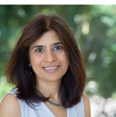
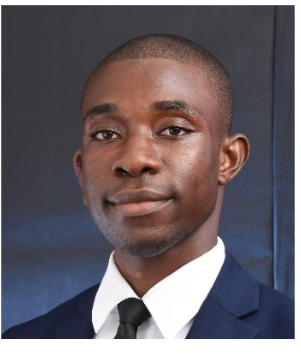
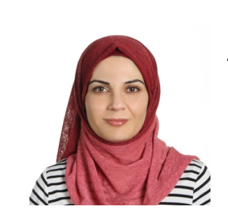
Please attend. I will be moderating this session on how Countries are using @ArcGISHub from @Esri for decision making amidst the pandemic. #betterdata#Coviddata. Please register for the session
Don't miss the #UNDataForum webinar to discuss "COVID-19 data hubs for timely decision-making amidst the pandemic."
🗓️ 31 August 🕘 9AM EDT
w/ @Esri@IDE_Chile@StatsGhana@statisticsofjo
📢 Register here 👉 https://t.co/apy5gCBFba
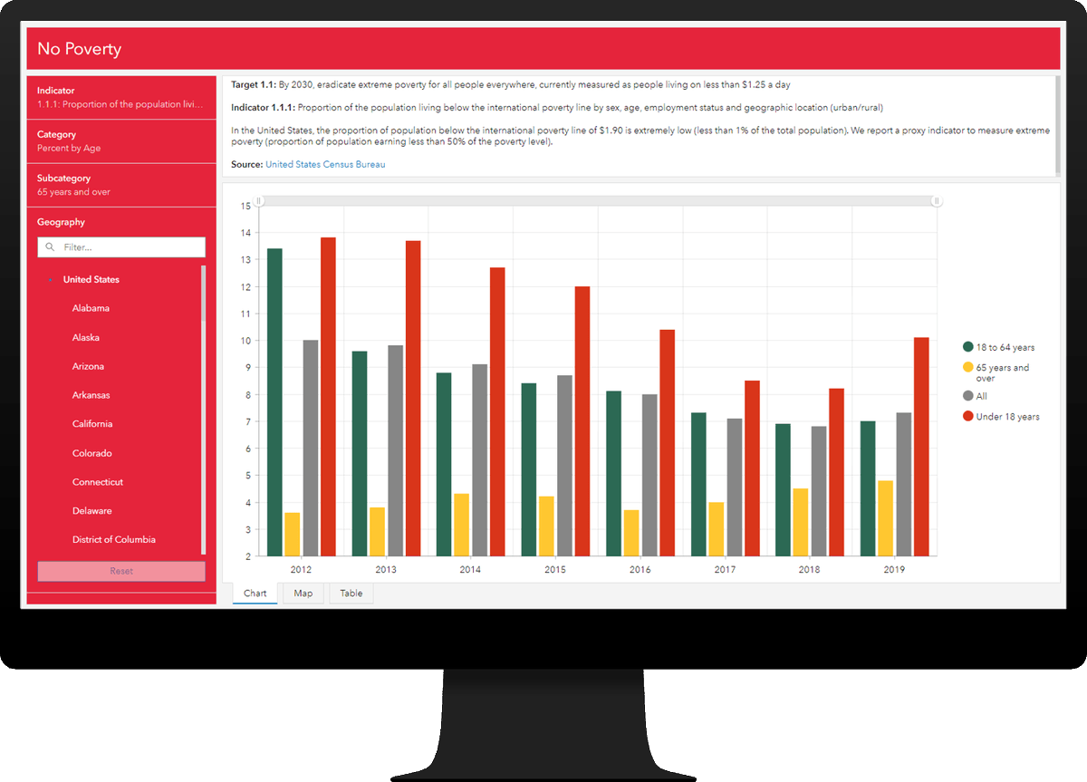
I really can't tell you how excited I am for this. It's been a massive team effort over a long period of time, but the ArcGIS Solution for the #SDGs is finally HERE! Stay tuned as we hope to be getting a lot more content out on this in the weeks to come! https://t.co/qqDyl4USd7
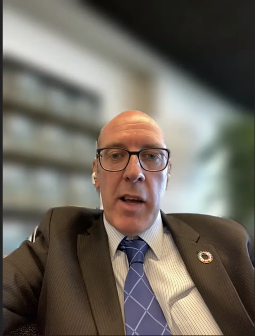
'Disease doesn’t move in straight lines. Looking at disease from a temporal view is not enough' - Stephen Mac Feely of @WHO on the importance of #geospatialdata#CPD55
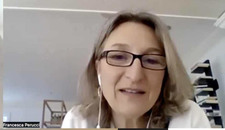
“The data we have is the data that Member States produce. It’s terribly important to continue to work and think about what countries need in terms of capacity, and strengthen the data flow between countries internationally.” @FranciPerucci, Assistant Director of @UNStats#CPD55
"#Somalia was among the first adapters of geospatial technology. GIS has provided the most cost-effective and efficient way to produce data in Somalia. GIS is also having a crucial role in the country’s #census.” @SharmarkeFarah#CPD55
“I do believe that we have a huge opportunity as the @UN to give the capabilities to countries in terms of what data can do and at the same time help countries with how to utilize this data.” Thomas Munthali of @NPCMalawi#CPD55
Find out https://t.co/1k0dfhigWu how a new data platform can support @WHO's mandate to coordinate global action https://t.co/gcsYzl84QR on #SnakebiteEnvenoming and place people & countries at the centre #beatNTDs#NTDRoadMap2030
Find out https://t.co/1k0dfhigWu how a new data platform can support @WHO's mandate to coordinate global action https://t.co/gcsYzl84QR on #SnakebiteEnvenoming and place people & countries at the centre #beatNTDs#NTDRoadMap2030
Check out our new #ArcGIS#Learn Hub for Official #Statistics. this new Hub organizes lessons according to familiar workflows and provides many additional resources to help you sharpen your skills. #GIS + #statistics = #understanding Esri https://t.co/H829BVXlL1
Register now for the virtual Esri Science symposium for topics on biodiversity, climate change, and geodesign. Get a free copy of the e-book, GIS for Science Vol. 3. https://t.co/N9qpKRoZir #EsriUC
Jack Dangermond, Founder/President of @Esri, talks about building a geospatial nervous system. An interconnected network that reveals patterns, trends and can change the way we make decisions. #TEDSalon In partnership with @BrightlineOrg Watch talk here: https://t.co/wM57phrd70