#opensource runs our business, which is why we make sure opensource projects get the funds needed.
We're proud to be the only @OSGeo highest sponsor 💎💎💎
Don't be shy follow our lead
https://t.co/87uog9Ji6j
@qgis@QFieldForQGIS@QFieldCloud@foss4g
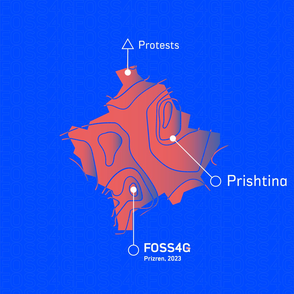
📢 #FOSS4G community, we're aware of concerns over recent events in Kosovo's northernmost municipalities. These aren't impacting Prizren.
Prizren is safe, vibrant, and welcoming.
👉 https://t.co/56wnt9ks8B.
Let's look forward to a successful conference! 🌐
#foss4g2023
Draw the attention on your maps to where you want it by using animations. A a neat little trick brought to you by @nirvn_asia in a new blog post:
https://t.co/vCBeyF0EQ8
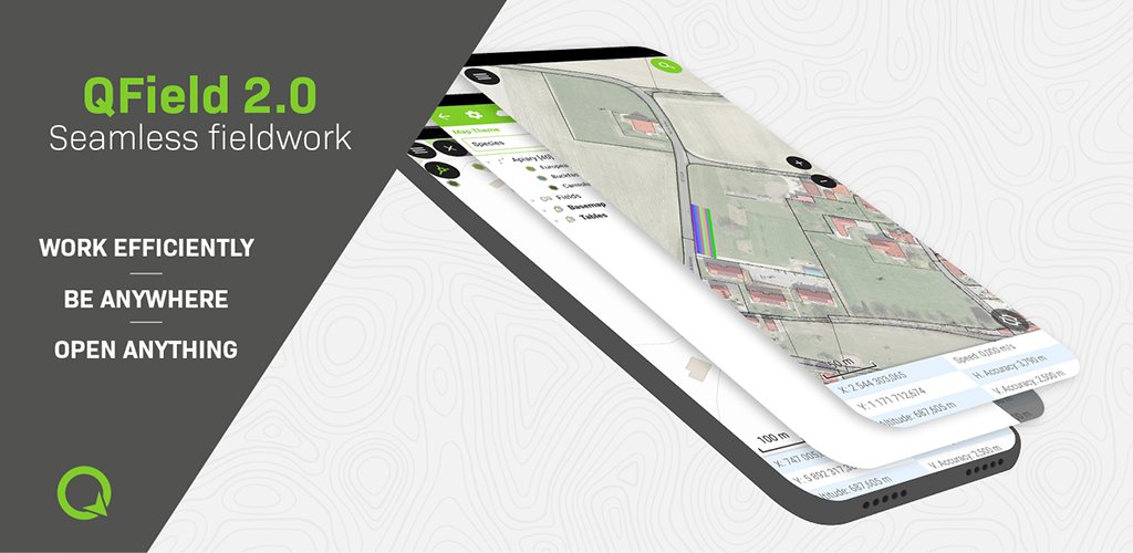
Let’s not paraphrase it, QField 2.0 is here and it is taking professional GIS fieldwork to a completely new level.
https://t.co/NOT6ZUe3Be
#dataisoutside#fieldwork#qgis#gischat
Mariupol. Direct strike of Russian troops at the maternity hospital. People, children are under the wreckage. Atrocity! How much longer will the world be an accomplice ignoring terror? Close the sky right now! Stop the killings! You have power but you seem to be losing humanity.
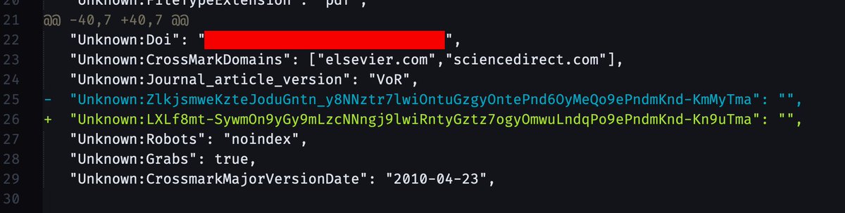
More fun publisher surveillance:
Elsevier embeds a hash in the PDF metadata that is *unique for each time a PDF is downloaded*, this is a diff between metadata from two of the same paper. Combined with access timestamps, they can uniquely identify the source of any shared PDFs.
@Ronanren@OPENGISch@QFieldCloud PostGIS layer sync is already available as an experimental feature. You can either use it directly as an online layer, or use it as offline layer on QField. The latter case you push your changes once you have internet and the cloud does the synchronization.