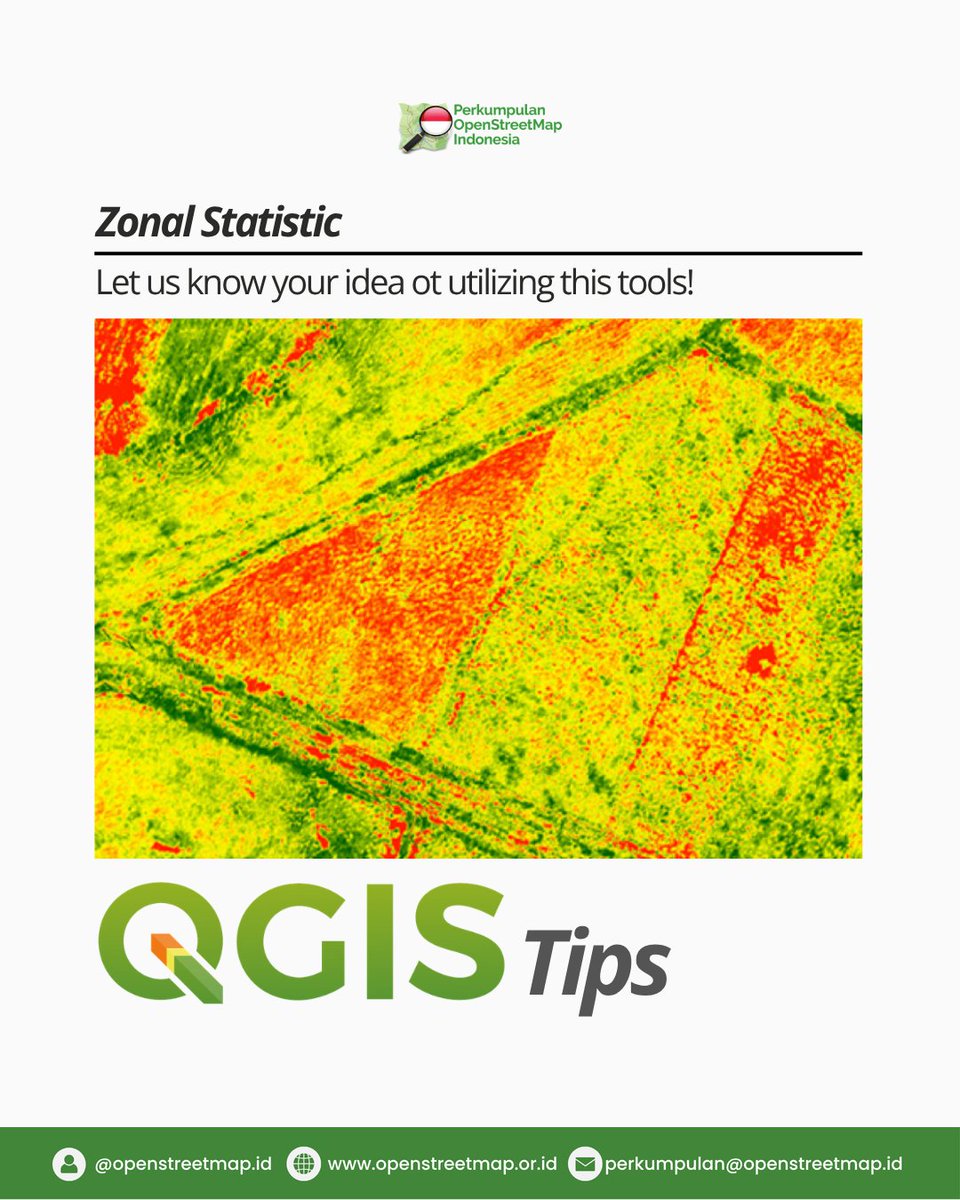
Have you ever used Zonal Statistics in QGIS? 🗺️
This technique helps transform raster data like DEM, slope, NDVI, rainfall, or heatmaps into meaningful statistical insights. 📊
What kind of raster data would you like to analyze?
#GIS#QGIS#SpatialAnalysis#ZonalStatistics
Automated Log Volume Measurement🪵
With Smart 3D Capture, the DJI Matrice 4D Series can scan log stacks and calculate volume using DJI Terra, reducing manual work.#djienterprise#forestry#mapping
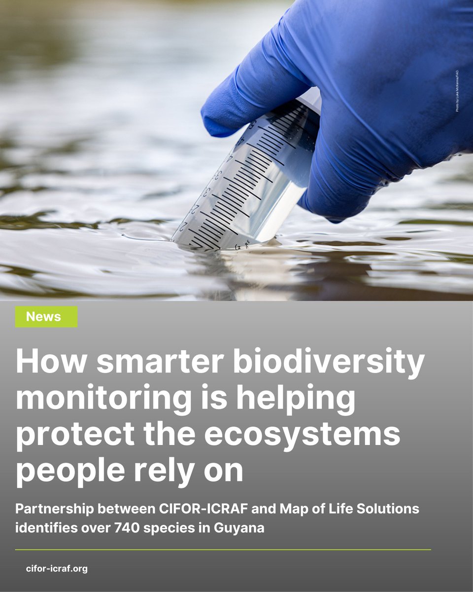
Smarter biodiversity monitoring is helping close critical data gaps.
Through the #SWMProgramme, CIFOR-ICRAF and Map of Life Solutions have identified 740+ species in Guyana, supporting better decisions for people and nature.
Read:🔗 https://t.co/90bARHJFvm
#TreesPeoplePlanet
Rapid LiDAR Deployment in the Jungle 🌴
Watch how Matrice 400 and Zenmuse L3 go from case to airborne in seconds, enabling fast LiDAR scanning even in remote jungle environments.
#djienterprise#lidar#mapping
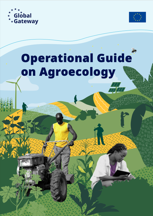
The EU’s Operational Guide on #Agroecology is out now!
CIFOR-ICRAF contributed through the Agroecology TPP, with our experts providing technical inputs to support research & action.
Download: 🔗 https://t.co/kctQtqQGBG
#aeTPP#TreesPeoplePlanet
Mangrove dan ekosistem karbon biru berperan penting dalam mitigasi iklim dan ketahanan pesisir.
Lewat i-Mangrove 2.0 Blue Carbon Dashboard, CIFOR-ICRAF menghadirkan data spasial mangrove Indonesia yang akurat dan transparan.
🔎 Kenali i-Mangrove: https://t.co/mLME3HlrAZ
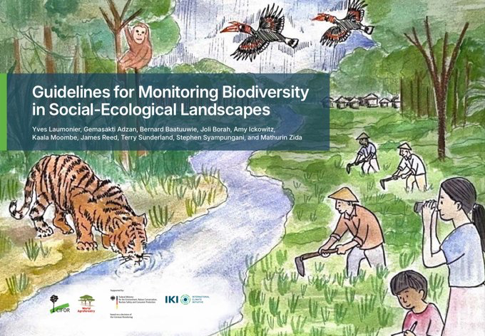
Biodiversity is declining fast, but better monitoring can help balance conservation and livelihoods.
Check out these new guidelines combining science and local knowledge for sustainable landscape management:🔗 https://t.co/DabItgXnKz
#Trees4Resilience
Pembangunan ekonomi hijau menuntut keseimbangan antara ekonomi, sosial, dan lingkungan.
LUMENS hadir sebagai alat analisis data yang mampu memetakan risiko, peluang, dan simulasi kebijakan berbasis lahan dengan detail.
Selengkapnya: https://t.co/hnTfpM3el1
#Agroforestri
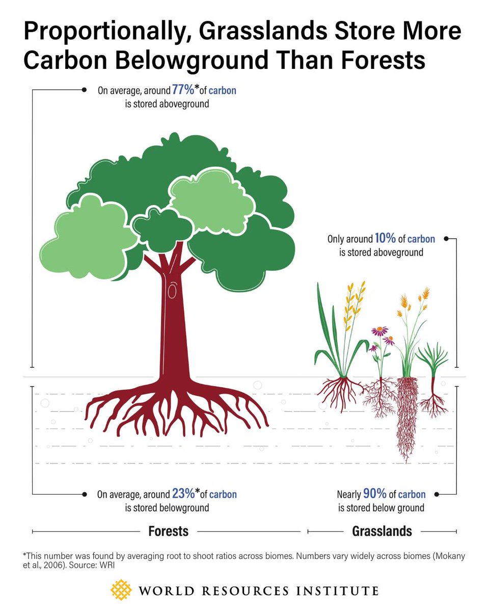
🌿Grasslands are an overlooked player in climate change mitigation.
90% of their carbon is stored underground, where their diversity helps increase the amount of organic carbon stored in roots and soils.
Because of this, and because many grasslands plants have deep and resilient root systems, their carbon stores may be more stable than those in forests, better able to withstand environmental stressors like drought and fires.
👉Learn more about the many benefits of grasslands: https://t.co/1vHPSavgD1
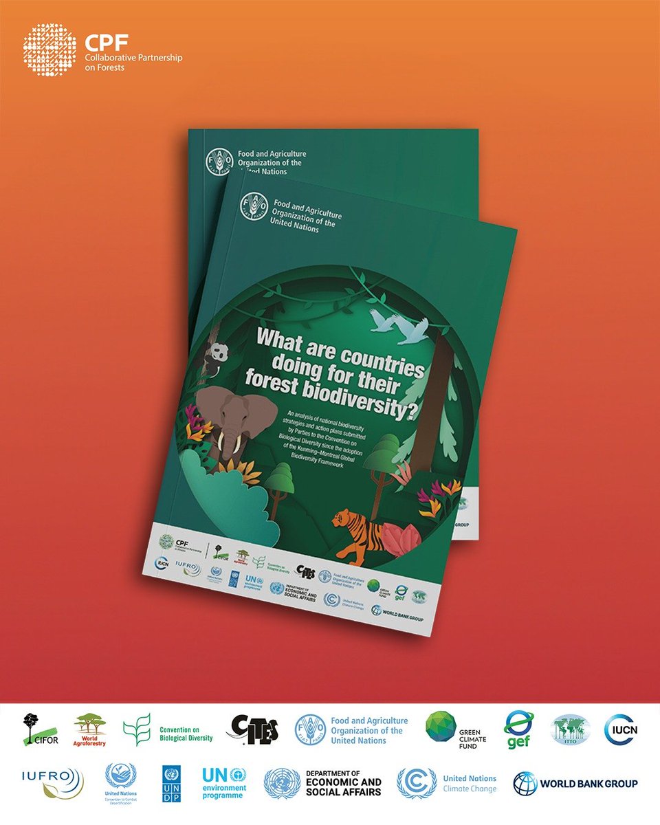
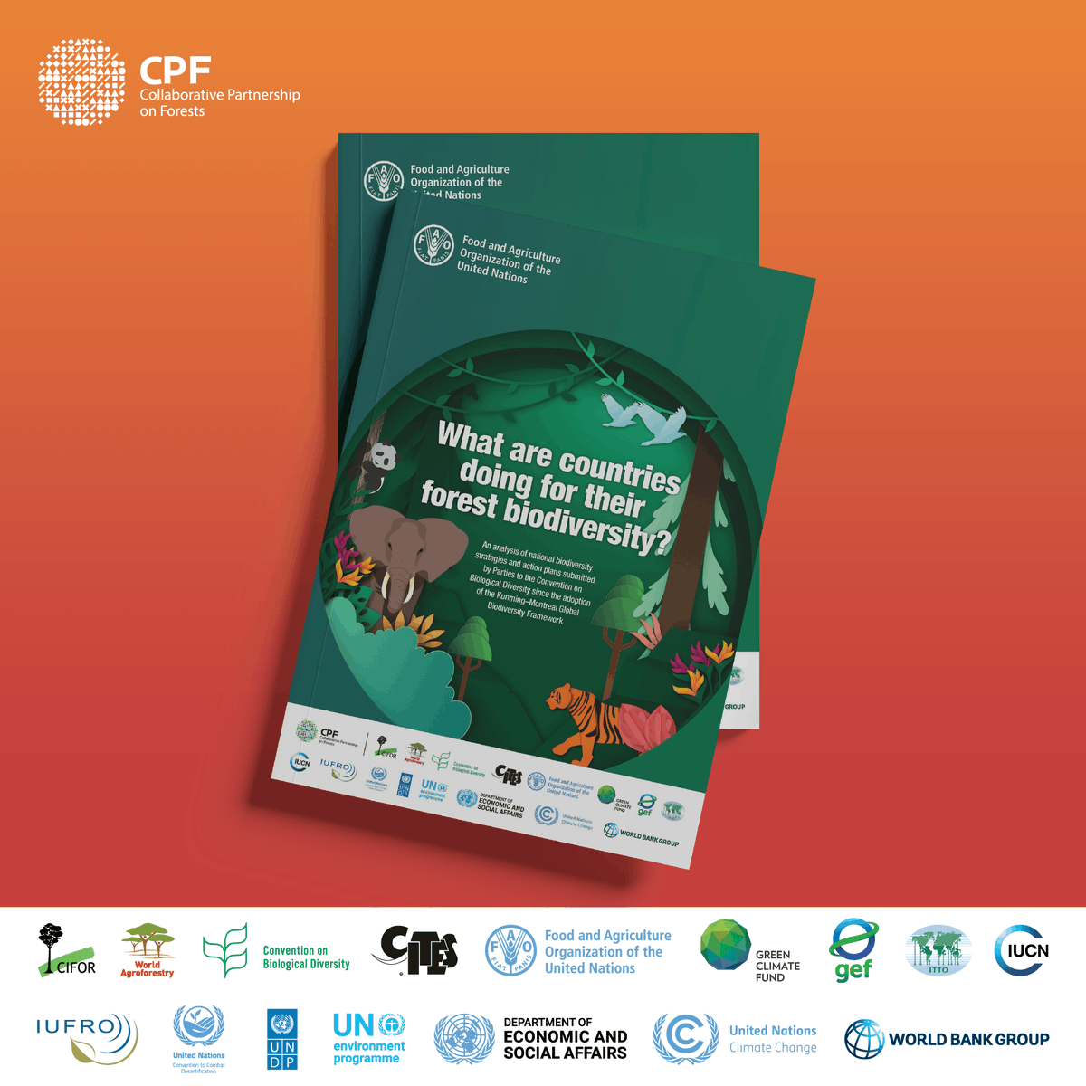
New CPF study: Countries are prioritizing sustainable forest management to protect biodiversity, with climate change and invasive species ranked as top threats.
Download a copy:🔗 https://t.co/Kpwrg1i4ey
#CPForests#Trees4Resilience
Mangrove menyimpan karbon besar & menjaga elevasi pesisir
Studi terbaru di Jawa Tengah menunjukkan bahwa pemulihan pesisir—melalui silvofishery & penggenangan kembali bekas tambak—dapat membantu memulihkan karbon & elevasi tanah.
Baca: https://t.co/SvdvaLNi6W
#Trees4Resilience
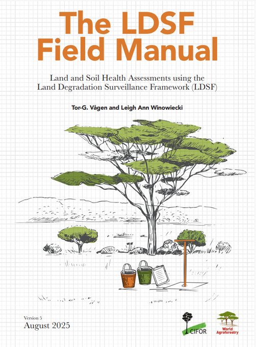
Celebrating 20 years of the LDSF!
The new Version 5 Field Manual expands rangeland modules and updates survey methods, guiding smarter restoration & sustainable landscape management.
Download a free copy:🔗 https://t.co/cmYlBXWMBo
#LDSF#Trees4Resilience
Dataset Lahan Basah Dunia, yang pertama kali dikembangkan dan diterbitkan oleh CIFOR-ICRAF, kini tersedia di UN Biodiversity Lab (UNBL).
Kehadiran dataset ini membantu mendapatkan gambaran yang lebih jelas
Baca selengkapnya: https://t.co/9kUs0jpIAg
#Lahanbasah
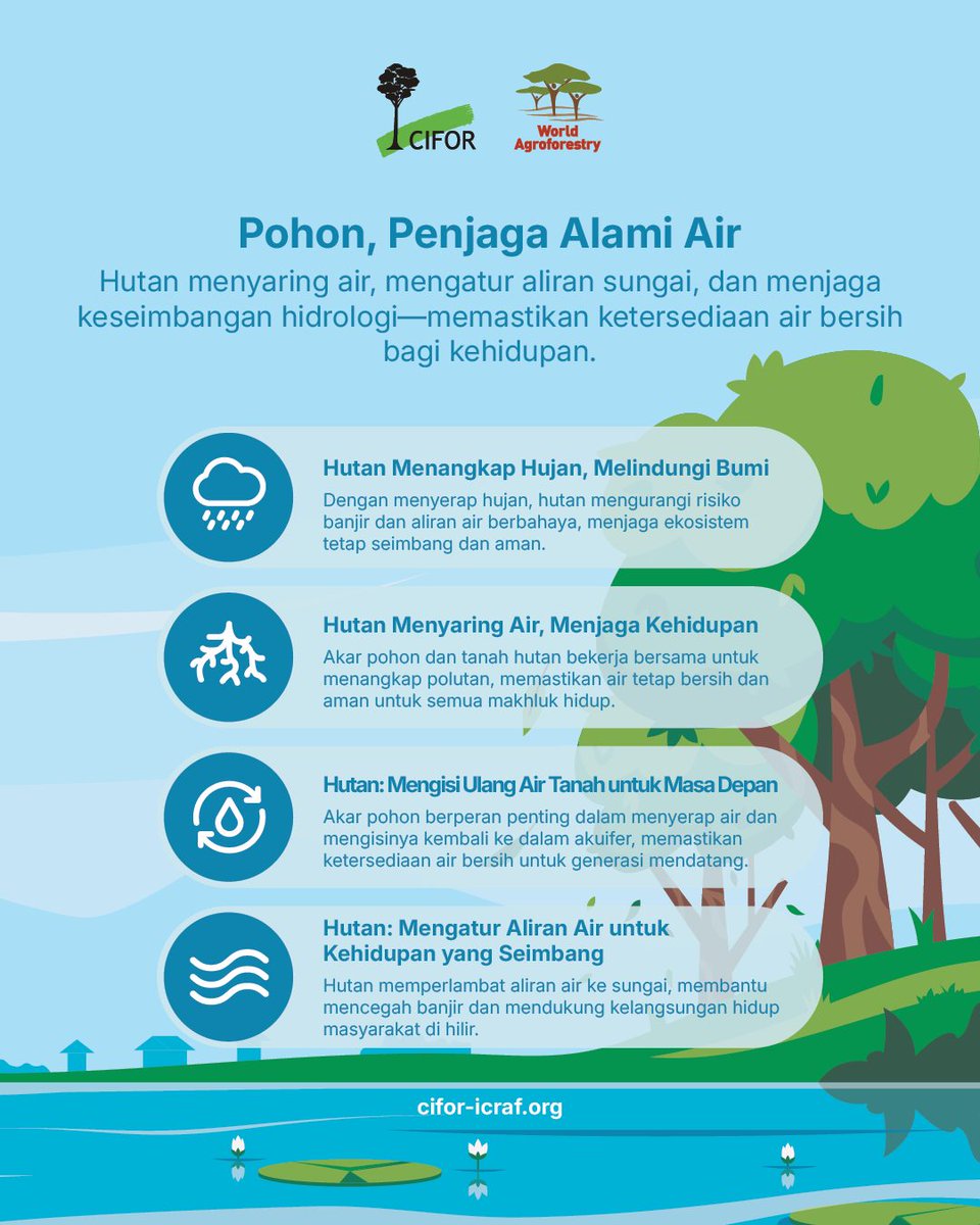
Ketika curah hujan tinggi kerap kali menimbulkan banjir dan luka yang mendalam bagi para korban
Hutan memainkan peran penting dalam menyerap air hujan, mengurangi risiko banjir, dan menjaga keseimbangan ekosistem.
#Trees4Resilience
🚁✨ Workshop Recordings Now Live from CANVAS 2025!
Yesterday at the CANVAS 2025 Conference in Salt Lake City, Dr. Jinha Jung and I had the pleasure of leading a 4-hour hands-on workshop on managing and analyzing drone imagery using open-source tools.
If you work with drone or satellite data in agriculture, environmental research, or geospatial AI, you won’t want to miss this.
👉 Sign up for a FREE D2S account: https://t.co/vLAuhRyrK6
Learn how to upload, manage, and analyze drone/satellite data using the Data to Science (D2S) platform and Python tools like SAMGeo, GeoAI, and Leafmap.
📌 Watch the Sessions:
▶️ Part 1: Intro to D2S – Drone Imagery Management Platform
🔗 https://t.co/weZazbsAZG
▶️ Part 2: Analyzing Drone Imagery with SAMGeo & GeoAI
🔗 https://t.co/ji26n1sBNo
🧰 Key Resources:
Event Info: https://t.co/7IWmmfbl1O
Workshop Notebook: https://t.co/hzxPTpVs7X
Leafmap: https://t.co/hWvA60kCcs
SAMGeo: https://t.co/NKZ6MxHb8U
GeoAI: https://t.co/0w6i7oz9nl
D2S Platform: https://t.co/vLAuhRyrK6
D2S Python API: https://t.co/EcqQdptdAH
#CANVAS2025 #DroneImagery #GeoAI #OpenSource #geospatiala #D2S
Studi terbaru dari Collaborative Partnership on Forests menemukan bahwa pengelolaan hutan berkelanjutan menjadi strategi utama dalam menjaga keanekaragaman hayati dunia.
Baca di👉 https://t.co/bKDUlpMW1A
@UNBiodiversity#CPForests#KMGBF
🌍 Announcing the latest advancements to Google Earth AI - a platform designed to unlock a new level of planetary understanding. ➡️ https://t.co/GDCalxFB93
🔗 Geospatial Reasoning framework
🧠 Deeper Insights in Google Earth
🎉 Expanded access to Earth AI