🎁 A New Year’s gift to the geospatial community: a brand-new QGIS plugin that unlocks access to 80+ petabytes of satellite imagery and geospatial datasets with zero coding required.
In my first video of 2026, I’m excited to share what might be one of the most powerful QGIS plugins I’ve built so far. This plugin makes it incredibly easy to explore the official Earth Engine Data Catalog and the Awesome GEE Community Catalog directly inside QGIS.
With just a few clicks, you can browse massive Earth Engine datasets, visualize them on the map, generate time series from ImageCollections, export data for further analysis, and even convert Earth Engine JavaScript workflows to Python, all without writing a single line of code.
If you’ve ever wanted the power of Earth Engine inside QGIS without the learning curve, this plugin is for you.
👉 Download the plugin and follow the full step-by-step video tutorial to get started today:
QGIS Plugin Page: https://t.co/o4wrN44uZr
GitHub Repository: https://t.co/NB4shvrL7b
Video Tutorial: https://t.co/HjBHDQGMy7
Happy New Year, and I hope this tool helps you do more with geospatial data in 2026 🚀
#QGIS #geospatial #EarthEngine #Python #datascience
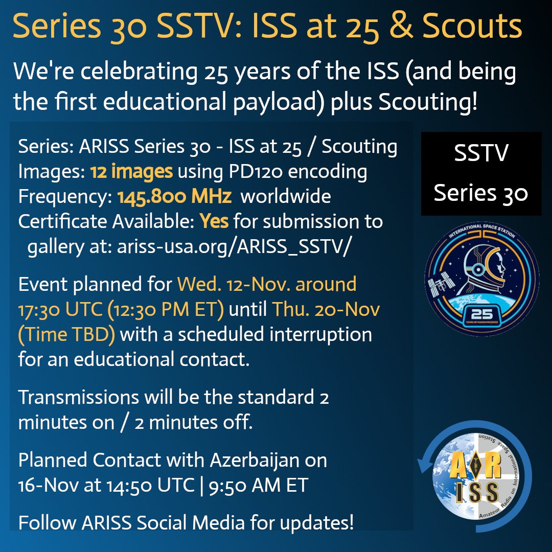
You know that Amateur Radio on the International Space Station (ARISS) was the first educational payload on the station! So we are going to celebrate the 25th anniversary of the @Space_Station in style!
Get ready for an SSTV event covering parts of 9 days! It's scheduled to kick off on Wed. November 12.
“Artificial Intelligence” SSB agent- OE1GAQ’s QRZ profile says “I'm currently experimenting with artificial intelligence for SSB. If you hear me calling CQ with a robotic voice, please be patient and repeat your callsign several times” 😆🥸. …… what do you guys think about this?
@APRSDirect We have a group of sudents trying to implement a local APRS Direct tracking website in Costa Rica.
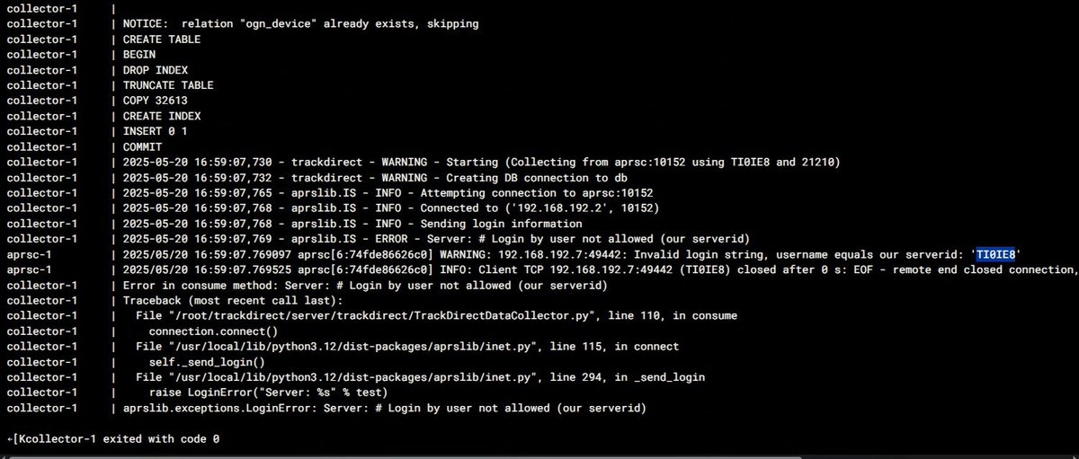
we are getting an error when connecting to your aprsc dabase: "Login by user not allowed (our serverid)" .
Any ideas?
Thanks in advance