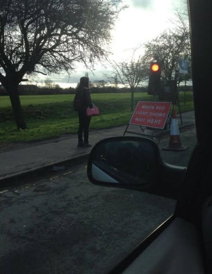
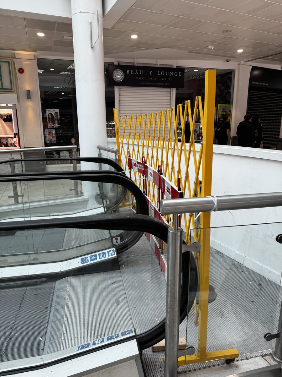
@Bolt's e-scooters logged 40.5M accelerometer readings in Tallinn, now feeding pavement accessibility data on OpenStreetMap.
https://t.co/CM0TFLXefg
#Geoawesome#Accessibility#UrbanMobility
I’m leaping into the 20th century for #textiletuesday with this handstitched quilt showing Newton Abbot’s town trails . Can you spot the local landmarks?
From the 1990s, it’s one of the items from the museum collection shown to me on a recent tour.
Day 8, and the mapmakers' prompt is 'Utopia'. I love this map. Mid-war, in 1943, Arthur Ling drew this map for Abercrombie and Forshaw. London as it might be: a city of neighbourhoods, each round its own centre. Planners still refer to it as the Potato Plan. #30DayMapChallenge
Made a browser showing all the nicely-tinted 1:24k topos I could find: includes links to the full GeoTIFFs, drag a box to get a curl list, plus a repo with an md for your agent if you want to tile + color-match a bunch seamlessly
Scroll around https://t.co/gwFeziu6la
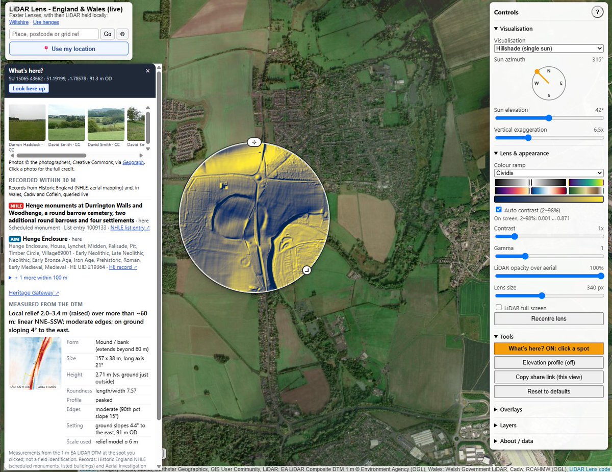
LiDAR Lens now covers all of England and Wales. Search any of about 24,000 scheduled monuments, slide the lens over the ground, and switch between relief. Tap What's here? for nearby records and photos. It's free, needs no login, and works on a phone. https://t.co/z5abZbmz1S