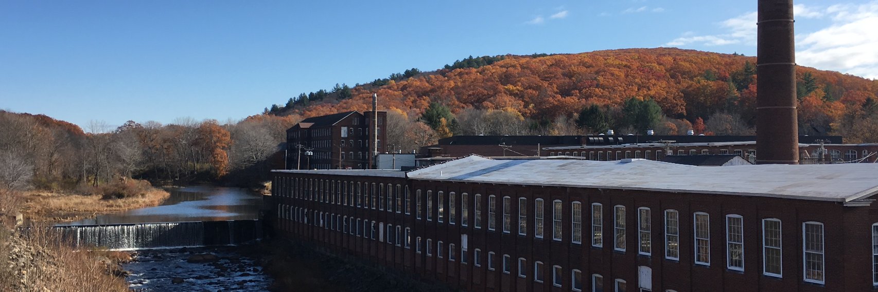
September is Rail Safety month. Lets make a difference and share Rail Safety tips all month long. Learn more at. https://t.co/W5iow1PGTw. #railsafety & #seetracksthinktrain@OperationSaver
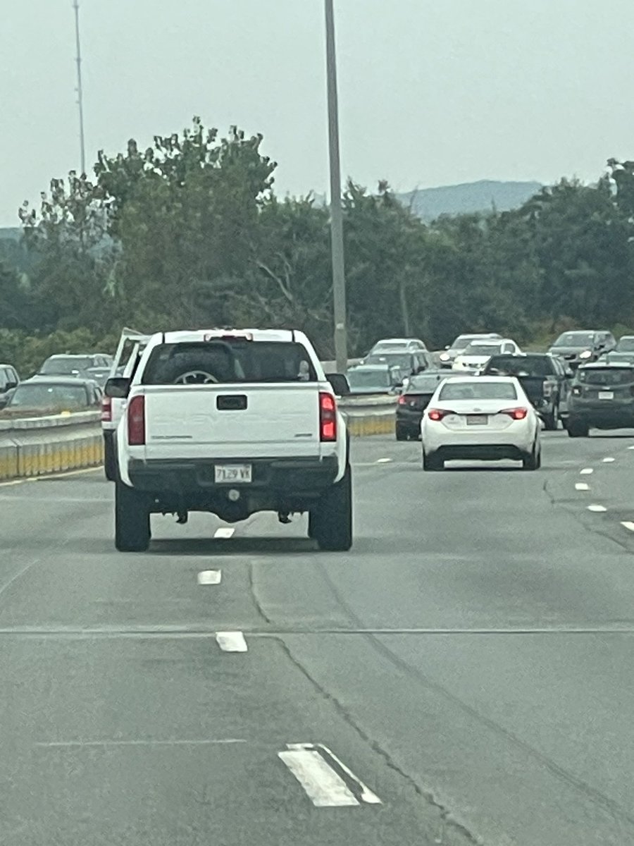
@MassStatePolice erratic operator still on Route 3 heading South past exit 40 in Braintree. White truck, male driver. Already called in and spoke to dispatch. Heres a photo. Photo taken from I93
The NWS survey team has confirmed a tornado touchdown in North Attleboro and Mansfield this morning. Further details regarding path length and EF rating will be forthcoming after the survey has been completed.
Incredible cloud structures building in height between the two severe thunderstorms between Boston and Plymouth County at the moment. Photos from Norfolk MA. #clouds#SevereWeather@NWSBoston@WX1BOX
Monitoring for a Tornado Warning until 930 AM for Southeast Worcester and South-Central Middlesex Counties Mass looking for reports of strong winds, wind damage, rotational evidence/wall/funnel cloud or flooding with this storm in the Oxford/Sutton area and points NE. #mawx
A Severe Thunderstorm Watch is in effect for most of MA until 8pm with the possibility for damaging wind, tornadoes & hail.
Be alert to changing weather conditions & be prepared to take shelter.
@NWSBoston moderate street pooling and flooding in Bridgewater around 5am. Frequent lightning with what appeared to be cloud to ground at times. These storms were quite loud between 3-5am. #thunderstorms#weather#bridgewaterma
SKYWARN Self-Activation will monitor severe weather potential for Wednesday Afternoon/Evening in Western/Central Mass/NW RI and Connecticut. See https://t.co/KmjLNCoFDx for details. #mawx#riwx#ctwx
NEW: We now have a TOR:CON value of 9 for some areas today.
This is *VERY RARE* and you NEED to be paying attention and adjusting your day accordingly! If you don't already have a severe weather plan in place, figure it out NOW. We're LIVE with everything you need to know.