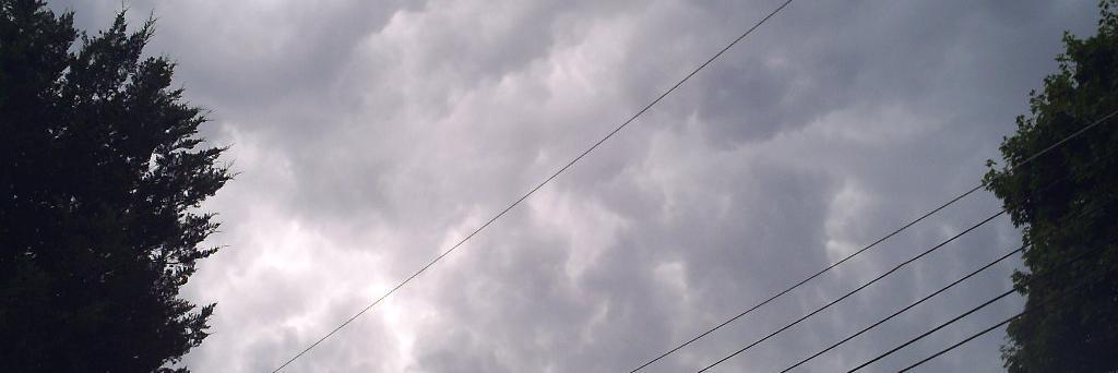
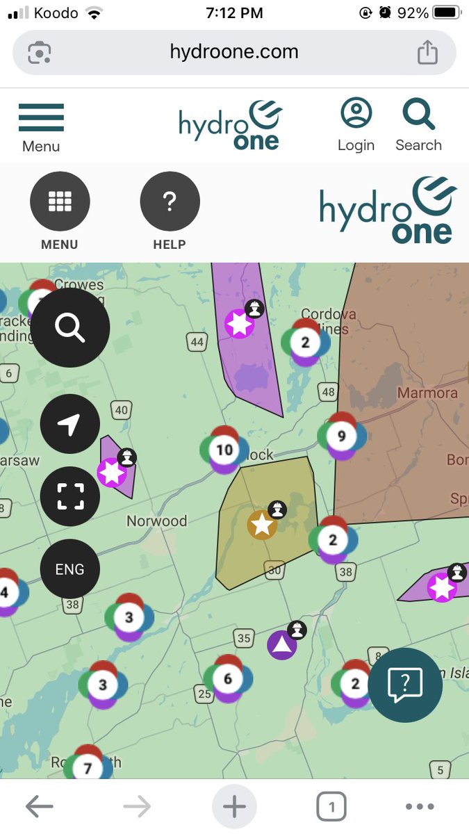
Wild footage coming out of the #Armstrong, #Ontario area of the raging forest fires
Thoughts are with all impacted by these devastating fires
#OnWX#ONStorm
Crazy *high temperatures* (not humidex) predicted by some models (HRDPS shown below) for tomorrow in Toronto. HRDPS typically does do well with temperatures and shows locally 39c in the GTA tomorrow. Hard to believe it because it would make it one of Toronto’s hottest days ever.
Intense near-record breaking heat forecasted for Toronto on Tuesday…
HRRR: 38c
Euro: 38c
NAM: 37c
Environment Canada has upped its forecast to 37c. Only a couple instances of >37c days in Toronto in recording history. 🔥🔥🔥
Significant severe risk potential for far EON into SE QC including Ottawa & Montreal Tues aft-eve. Damaging winds will be the main threat but supercells with very large hail & tornadoes will also be a risk.
Due to high temperatures, the CN Rail Washago Swing Bridge is currently unable to operate because of thermal expansion. Mooring at Lock 42 – Couchiching is limited. Updates will be shared as available.
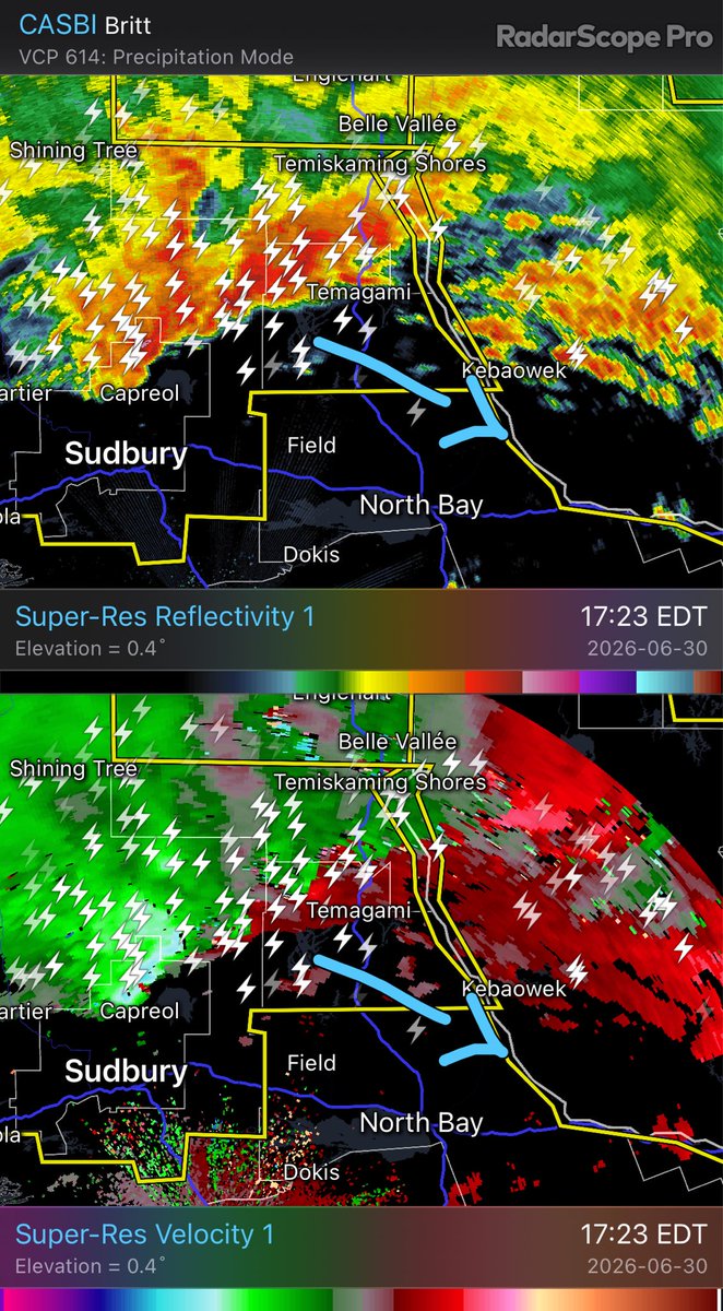
Here comes round 2 for EON. A well organized MCS will likely hug the instability gradient along the ON/QC border for several hours. Damaging winds over 110km/h and embedded tornadoes are the main threats.
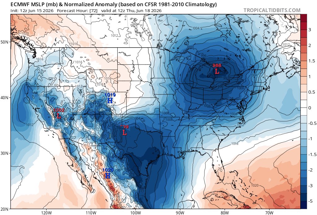
Anomalously low pressure with system expected Wed-Thurs through the Great Lakes. This could bring heavy rain & potentially very strong winds to the region Wed PM into Thurs AM.