Are you ready for a #GeoGame on UCRStar?
Can you recognize the park in the image? Find its location on the Parks dataset using UCRStar and share your answer as links with us!
Here is a hint: https://t.co/1U6GXdZHHe
#GeoHunt#GeoFun#GeoRiddle
Happy Halloween! A new release of UCR-Star is now available with new location-aware features. 1) Go to my location. 2) Search for any location on the map. 3) Download a subset of the data in any country, state, or province. You might need to refresh your browser.
#GIS#OpenData
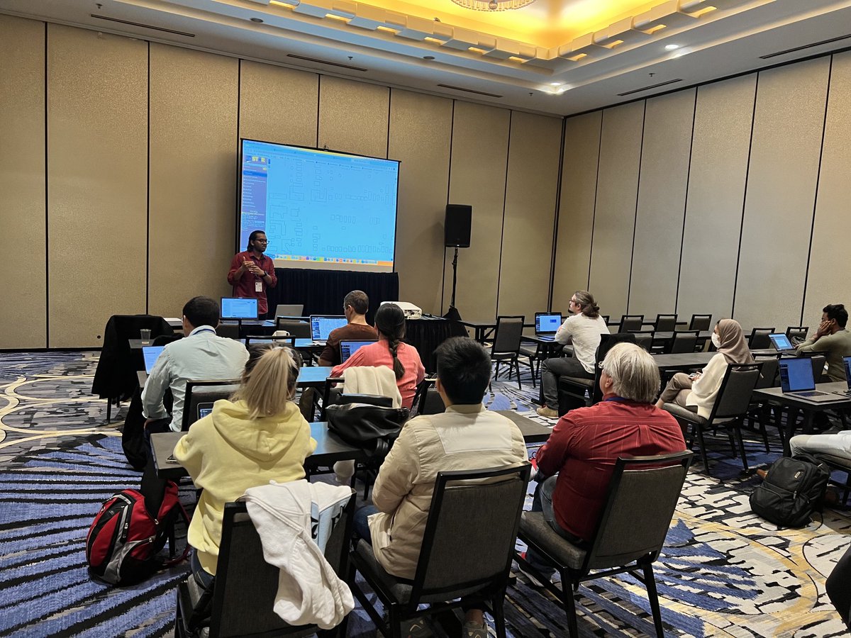
On Tuesday Nov 1, I will give a 90-minute tutorial along with @TomalMajumder on reproducible experiments with @UCRStar and #Spider at the #SpatialAPI workshop collocated with @SIGSPATIAL_GIS. See you in Seattle. https://t.co/Xa5vaFuRIz
@aocalderon1978@birdmapper We apologize for the brief downtime. There was an issue with #OpenLayer that was fixed. You might need to refresh the page to load the updates.
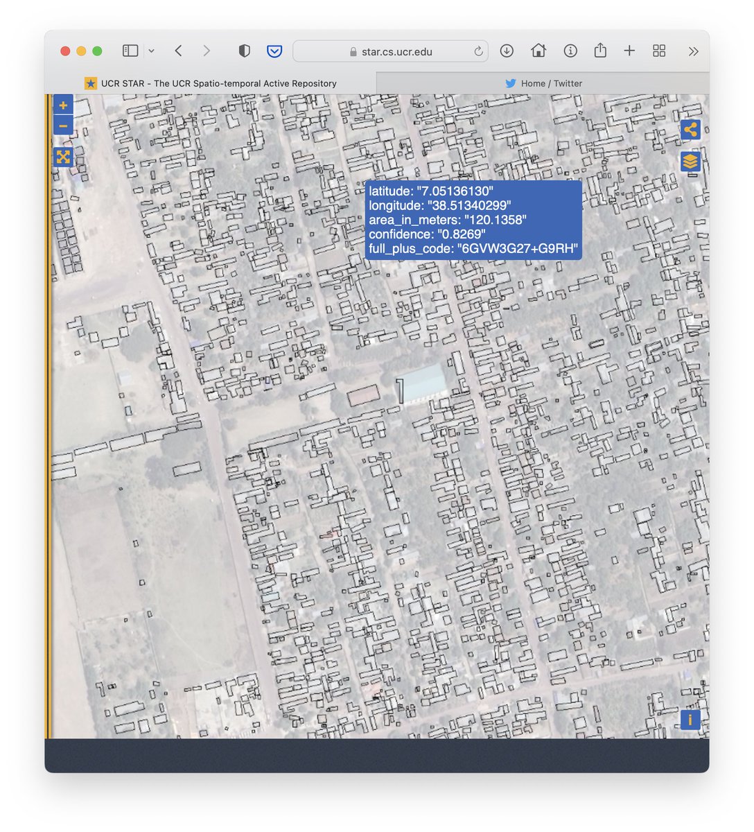
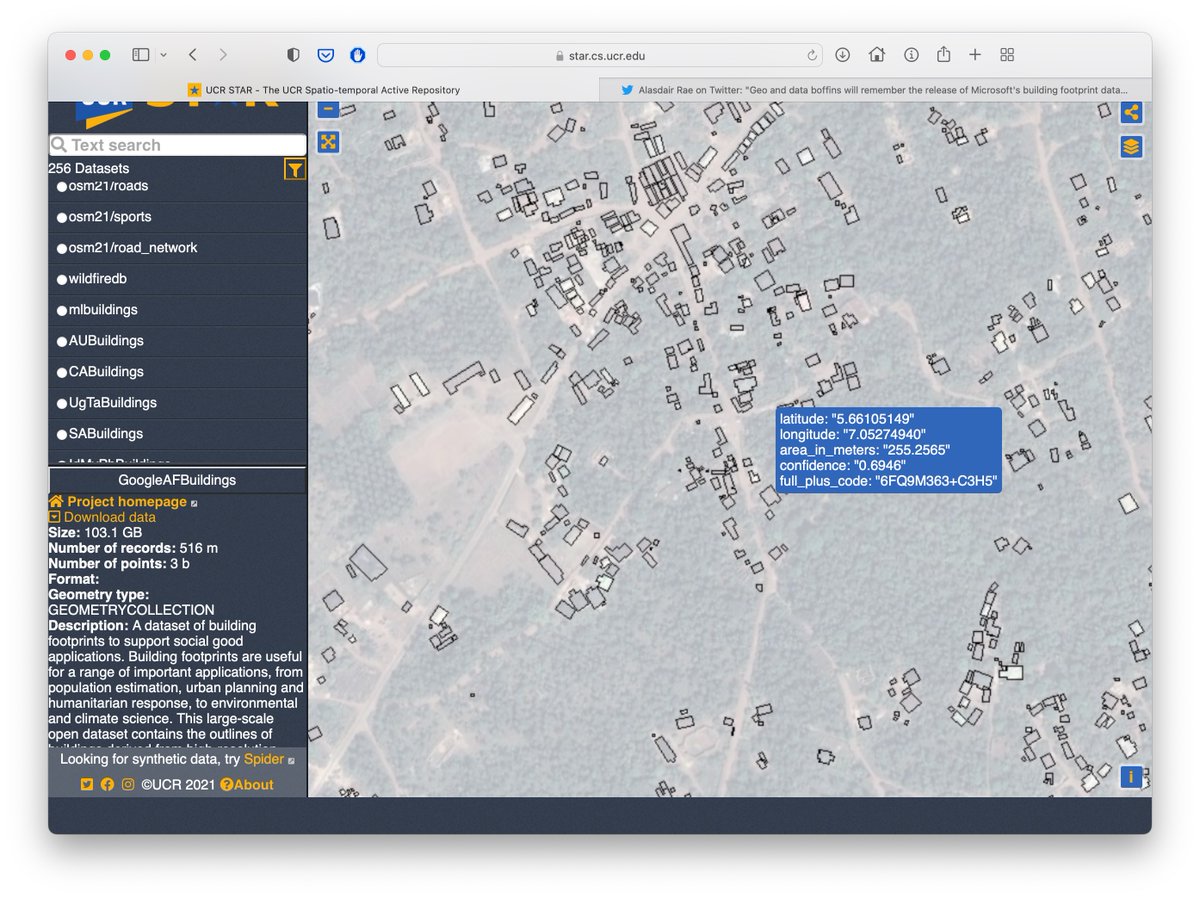
@j_igarashi@mikel@Google@openstreetmap Now that @Microsoft released a building dataset in Africa, we can compare. It seems that Google dataset has a higher coverage but lower accuracy. However, you can use the confidence parameter in @Google's to prioritize quality. https://t.co/Us7U1bOMEV https://t.co/YvA2KK0MsB
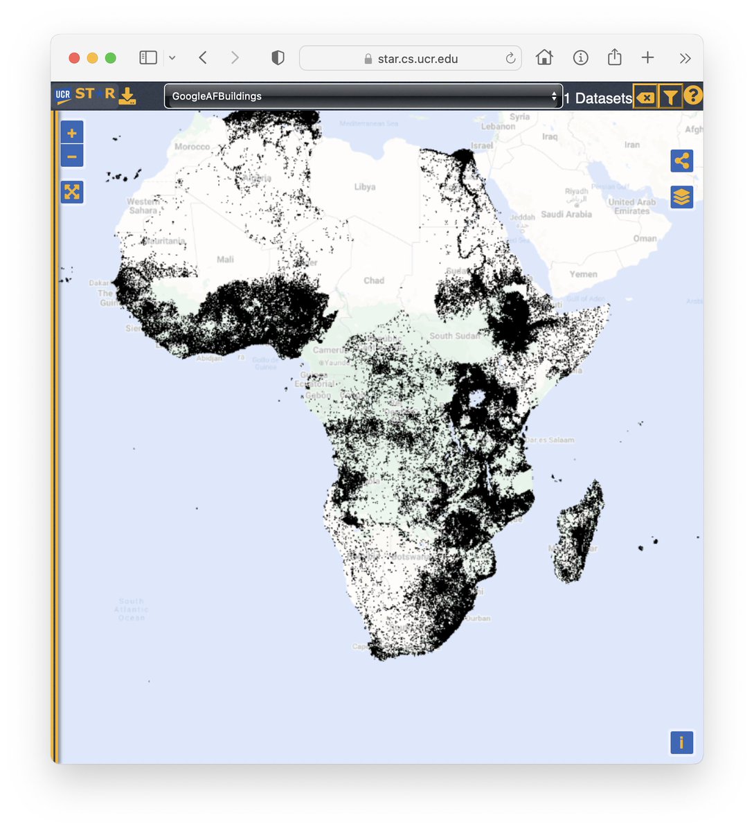
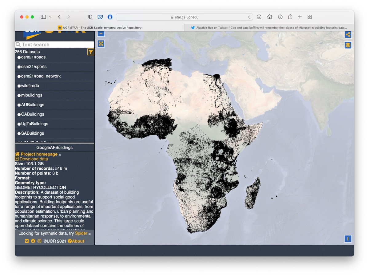
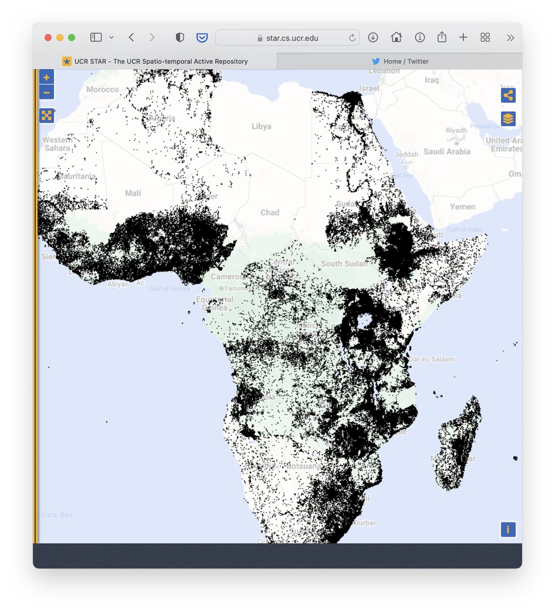
@Antidius36@undertheraedar Check also the newest addition to UCR-Star, the Google building dataset in Africa with more than 500 million buildings overall. The coverage is much higher than the Microsoft building dataset but the quality is a different story.
https://t.co/vcZpzxtApM
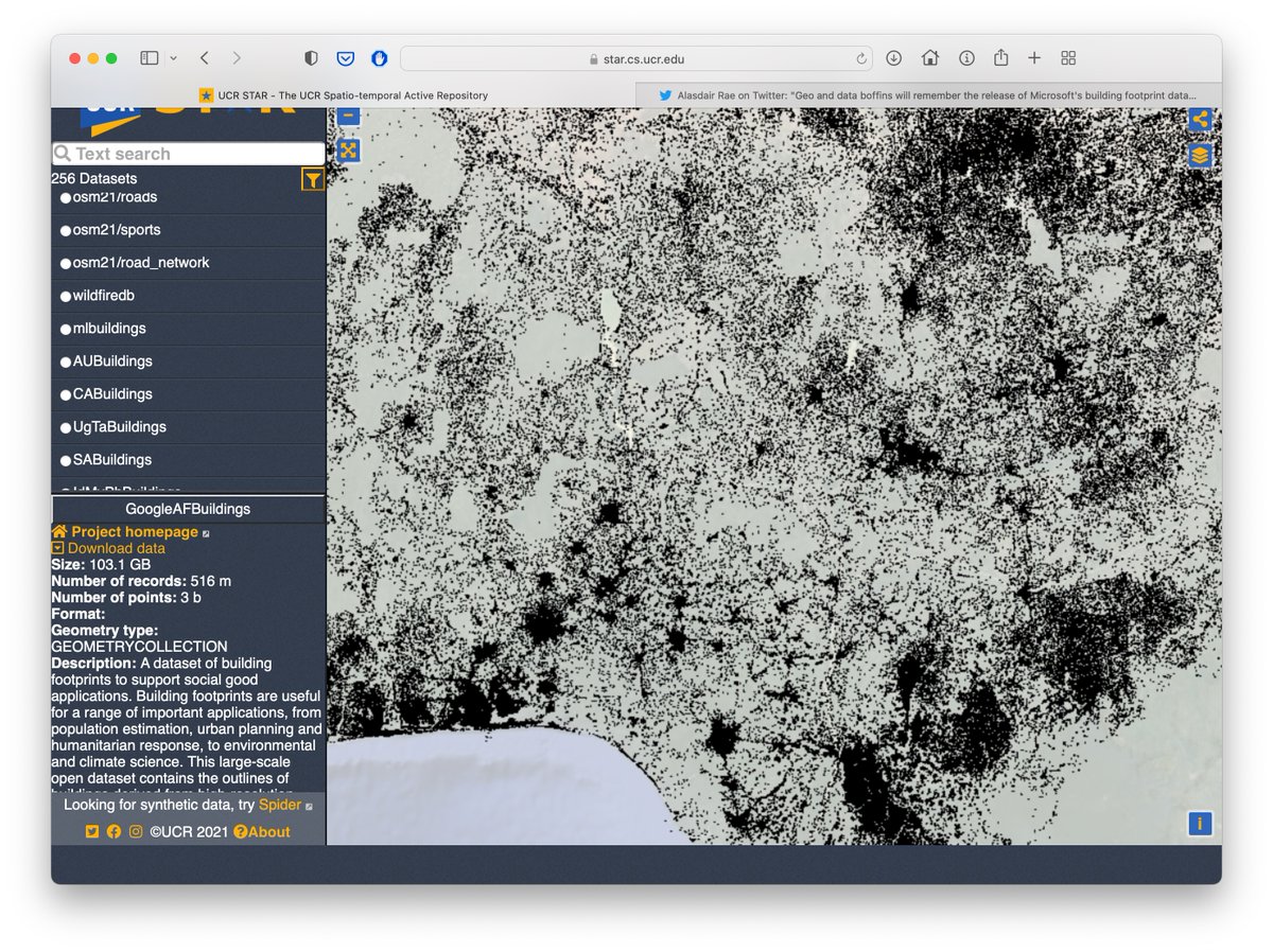
Check out our newest dataset, 516 million buildings in Africa extracted from satellite imagery by @GoogleAI team. This dataset has a higher coverage than the Microsoft building dataset. We'll let the community judge the quality. #Africa#OpenData#GIS
https://t.co/rJXDM9Edhm
@undertheraedar Check out the most recent addition, ML Buildings dataset which covers most of the world. Some parts are still not covered, e.g., Nigeria, Germany, France, and UK. https://t.co/7JzTUfkKUS
@Antidius36@undertheraedar The new ML Buildings dataset covers most of the world. However, big parts of Europe are also still not covered, e.g., Germany, UK, and France. You can explore and download all these datasets at UCR-Star. https://t.co/7JzTUfkKUS
@xettasoft You can explore and download these datasets, and hundreds of others, at UCR-Star. https://t.co/fUK1807rhr
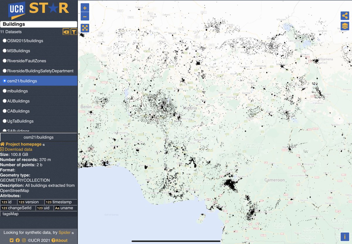
Nigeria buildings are not available from @Microsoft but you can find some data from @openstreetmap, also at UCR https://t.co/WhoU64irvo
@samapriyaroy Awesome work! Thanks for sharing. You can also explore and download all the Microsoft Building datasets at UCR-Star in many standard formats including Shapefile, KML, GeoJSON, and CSV. https://t.co/RXwL3bv4zO
@OurRadiantEarth@giswqs@Microsoft Thanks for sharing this helpful tutorial. You can also download this dataset (and hundreds others) in full or in part from UCR-Star in any standard geospatial file format including KML, Shapefile, CSV, and GeoJSON. https://t.co/RX3HwI9d8q