You get charts posted about during the winter like a child in a sweet shop that ends up in toys thrown out of a pram. You wouldn’t rush to day 10 charts in the summer, so why in the winter? Reliable timeframe = 2/3 days currently with lots of downwelling uncertainty. #ukweather
In regards to snowfall potential in the coming weeks, we will have to see what the models are like over next weekend because they are all over the bloody place currently with scatter even at day 2, no point commenting in detail. Post 20th = SSW poss downwelling effects #ukweather
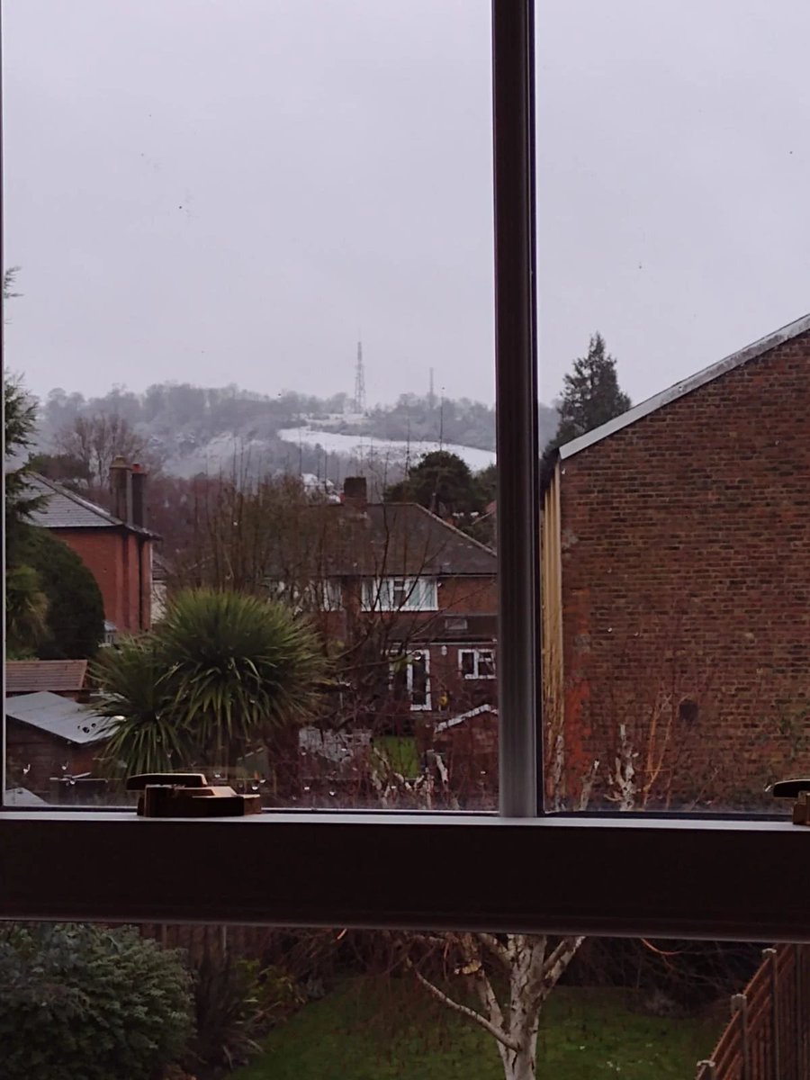
A good photo that I've pinched off Netweather but a grand example of how elevation makes all the difference for snowfall with this example from Reigate with a clearly marked difference between roughly 70 m to the 250 m on the hills. All set up right for last night. #uksnow
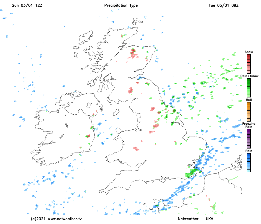
Lovely old sleet here on the North Kent Coast with showers continually to pile on with this NE’ly & a DP of 1.2°C here. Wintry mixes in heavier showers over the coming hours with the best hope for snow in the early hours of tomorrow morning as it becomes more organised. #uksnow
Showers have been flowing in from the sea on a NE'ly today with some cold rain & some hail even to lower levels. Kent Streamer looking to pick up from tomorrow with the best chance of some wintry mixes during the late evening of Monday & into the early morning/evening on Tuesday.
Wet snow in Kew as the precipitation there has been buffed up a little with some heavier bursts containing snowfall within them. Milder air is moving in so the atmosphere is becoming less snow conductive.
The weather station at Kew Gardens is currently at 1.9°C.
#uksnow
Wintry showers are now heading for the capital on a SW'ly path although milder air aloft accompanying them makes snowfall potential marginal with the majority of flakes being in heavier bursts. Worth keeping an eye out if you're in the London area. ❄️ #uksnow
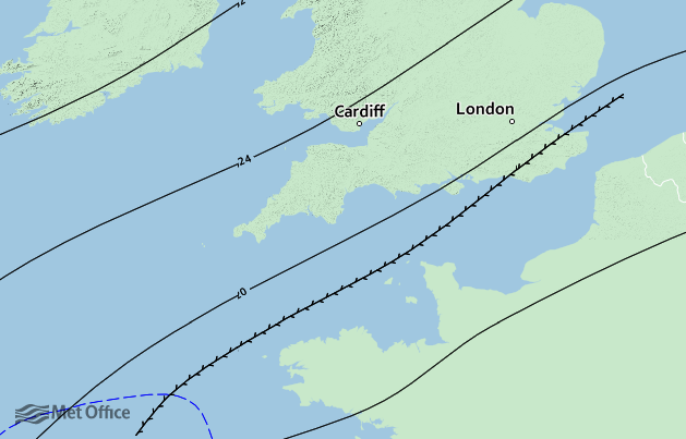
A few snowflakes in this little blotch of precipitation that is slowly weakening as it moves ESE this morning. A dusting is possible over the highest ground, particularly near High Wycombe. Nice little #uksnow surprise for some this morning! ❄️
#ukweather
It is bloody cold outside with places like Southend at - 1°C & having dropped previously to -2°C only half an hour ago after being shrouded in freezing mist. Staggering temperatures considering the average is around 7°C!
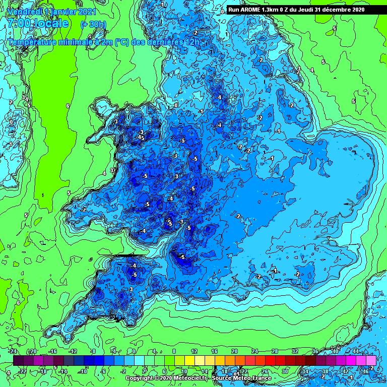
Frosts to come widely tonight, -3/4°C poss.
#ukweather
Morning. All snow risks for later have truly buggered off so we are left with a dry day after a frosty cold morning with places like Heathrow getting well below freezing at -3.2°C.
2 - 3°C highs today with another frosty morning tomorrow to take us into 2021.
#ukweather
Straws to clutch tomorrow night.
A small feature looks to poss move west over Eastern Kent tomorrow, then diving SE. This could have some sleet/#snow in the heaviest bouts away from coastal spots.
Some models have it more E than others & some not at all.
Nowcast.
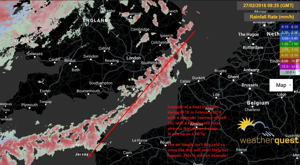
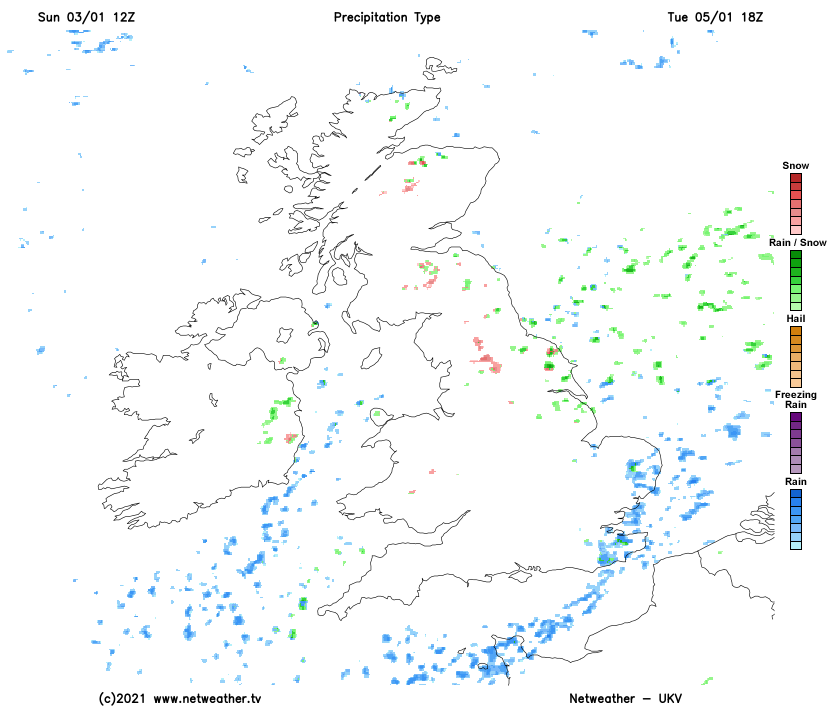
Wintry showers do look to be the theme over the next week for especially those in Kent/Essex with E/NE'ly winds off the sea causing showers to pop up. Small chance for a 'streamer' to set up in Kent but they are bloody difficult to do so I'd expect only the showers!
#ukweather
The channel low has been a bust with precipitation looking to only clip the far S/SE coasts.
On Friday morning, there is the potential for some snow showers to form on a trough being steered inland with sleet on the coast & snowfall inland. One to keep an 👀 on.
#ukweather
A major SSW is now starting to unfold with this having the chance to create anomalous weather patterns instead of an average weather pattern. This can give the chance of some deeper-rooted, prolonged cold if all down wells correctly and all goes to plan. All 👀 on.
#ukweather
After all, it did come to fruition with some snowflakes being reported on the IOW and around Southampton this morning. No accumulation though but some dandruff for some people this morning. #uksnow
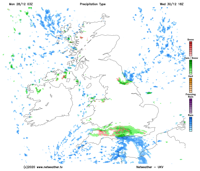
A little feature is modelled to skip through the centre of the south and skirting into the SE during tomorrow morning which may give a little snow to some spots if it comes to fruition with higher ground favoured for snowfall accumulation (Surrey hills, etc).
#uksnow
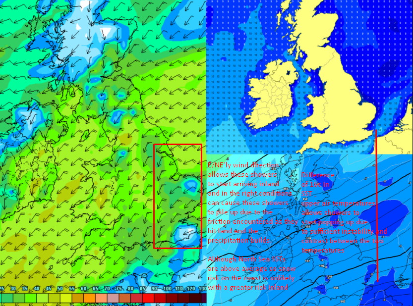
A good example of connective showers off the sea visible here with the warmer sea surface temperatures colliding with the cooler air temperatures sparking showers like this. Pretty amazing as to how visible it is here!
#ukweather#loveukweather
Early snow & ice warning for Wednesday morning into Thursday with a low expected to slide in and run across the southern areas of the country with some snow/sleet on its northern edge & some accumulations over higher ground. ❄️
Watch this space for updates!
#ukweather#uksnow
Certainly a shock to see this at sea level this morning under a heavy band of ppn, causing evaporative cooling and allowing for this. The current band is moving NE towards W Surrey so reports may start to coming in of snow soon. I’ll discuss this evening’s chances later. #uksnow