UK Mapping Festival 2nd-7th Sept 18, an exciting collaboration between those who create, distribute, use & enjoy #maps in all forms Join the celebration #ukmf18
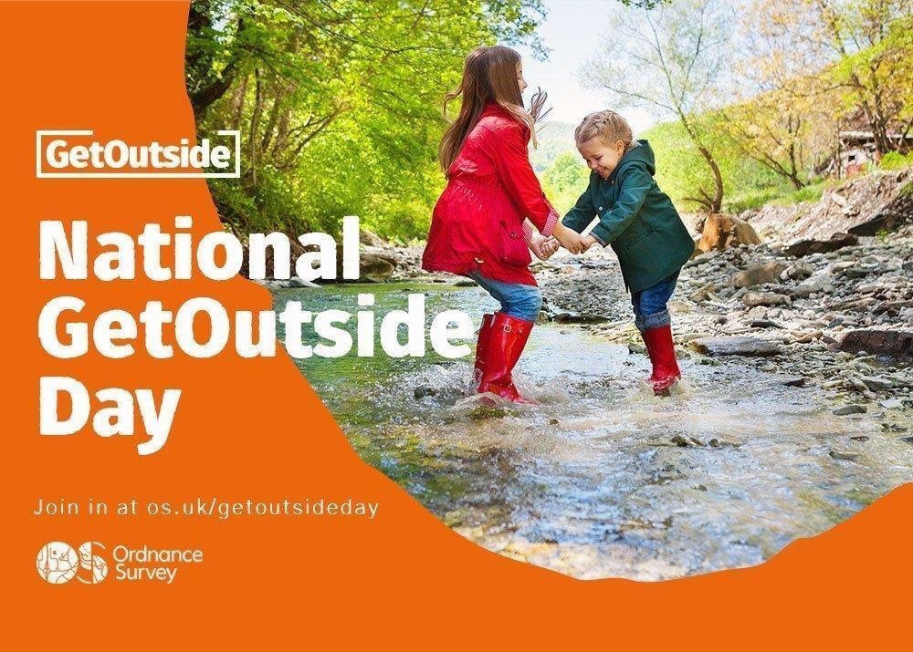
On 30 September 2018 (this Sunday!), @OrdnanceSurvey want you to get active outdoors. Join in with a National or Regional event near you, or create your own adventure outside with family and friends. How will you be celebrating the day? 🗺️ #GetOutsideDay#GetOutside
#Maps shows the most popular boy names by state in the US from 1960 to 2012. Does anyone have access to the latest data? What were the most popular boy names in 2017? Source: https://t.co/tBtwRxKgFI
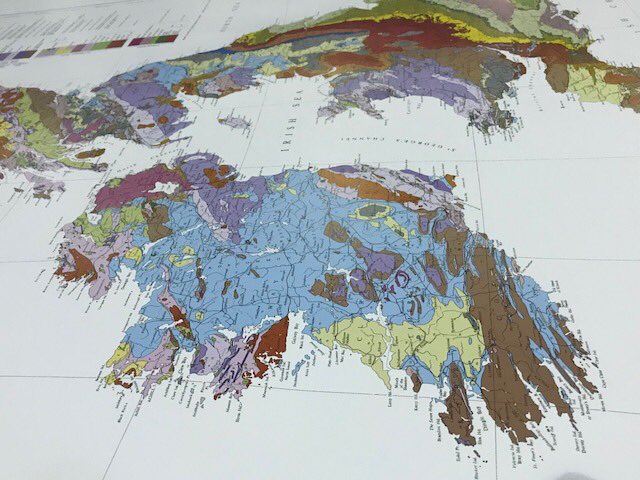
🗺 Bedrock Geology of the British Islands” 🗺
We always find these #geologicalmaps to be something of a work of art in their own way, the way that the various colours illustrate the different geological strata. #MapLovers#Geological#BritishIslands#DennisMaps
Scotland's only lake - the Lake of Menteith - was surveyed in 1900. 375 soundings were taken to profile the bottom of the lake and create this bathymetrical chart. https://t.co/9CgoGnovqL Read more about the survey at https://t.co/cZ47WWPW1I #maps#LakeofMenteith
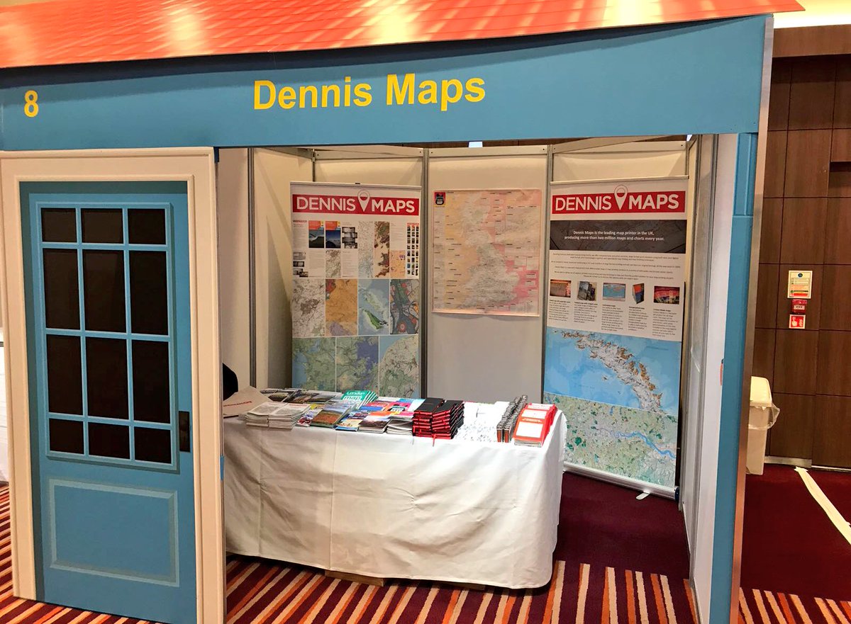
@Dennis_Maps@UKMF18 Really enjoyed chatting with your team there about maps in general (such variety!) and the @LondonNPC map (visible at bottom right).
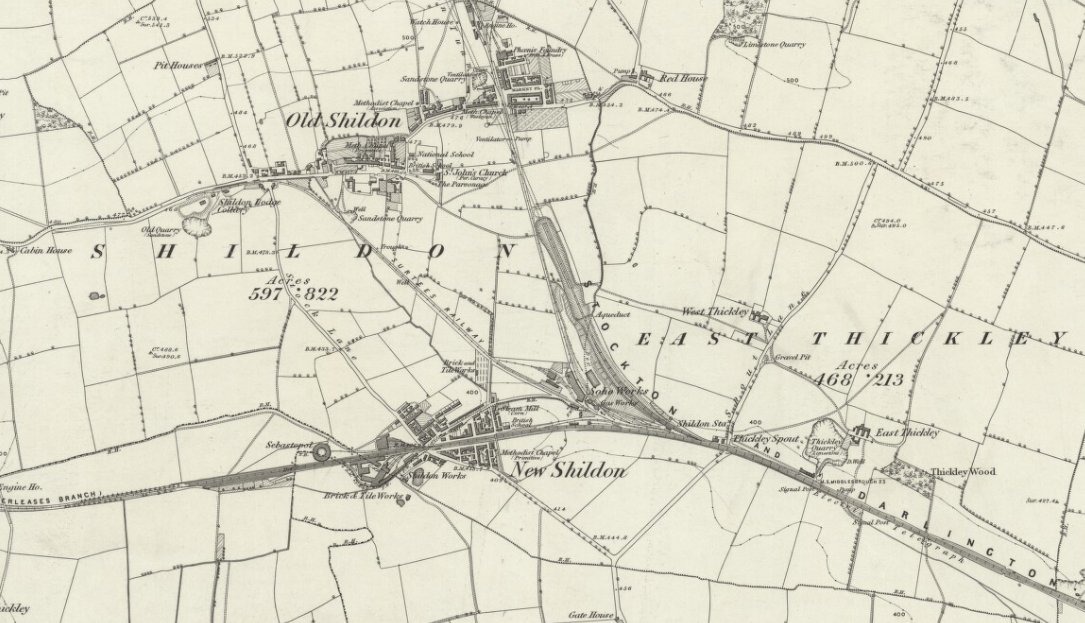
The Stockton and Darlington Railway opened #OTD 1825, connecting collieries near Shildon with Darlington and Stockton-on-Tees. 🚂https://t.co/zrQxh3Teen #maps#railways#StocktonandDarlington