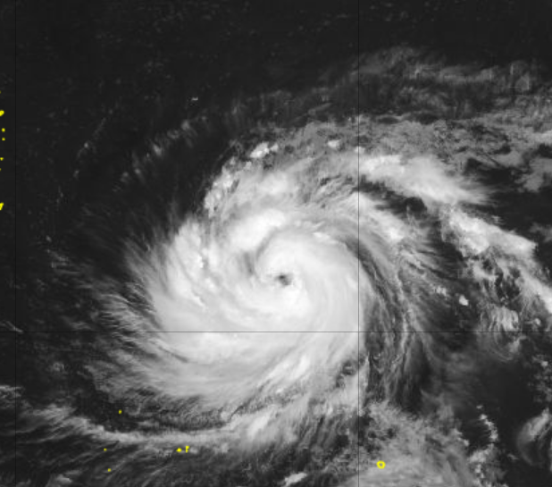
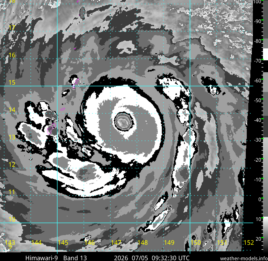
Quick #Typhoon#BAVI recap:
Gonna be honest: Structurally, this was a weird-ass storm—maybe one of the weirdest I've hunted. I'm talking about the way that tiny inner eyewall suddenly exploded onto the scene yesterday, looking all yummy, raising a ruckus, screaming, "Chase me! Chase me!"—only to go hiding in the folds of daddy's coat (the huge outer eyewall, I mean) once I drove up to the top of the island to pursue it. I felt almost as if it was playing with my head—playing games. This radar shot out of Taiwan shows the freaky coexistence of a dominant eyewall and the tiny remnant ring clinging to it like a parasite. (The black star marks my final location.)
METEOROLOGICAL ANALYSIS
(NERD ALERT: NORMAL PEOPLE STOP READING HERE)
There's some discussion about whether BAVI's
large central calm area—left behind once the tiny inner eyewall started to collapse and melt into the outer eyewall—was a moat or the new eye. In my opinion, the ERC (eyewall replacement cycle) was far enough along when BAVI impacted the Ryukyu Islands that the large, outer eyewall was by that point the dominant eyewall, and therefore the big central calm area was the new, larger eye. Reasons:
* The remnant inner eyewall was just a crescent-shaped scrap of convection clinging to the outer eyewall by this point—not an independent feature.
* Ground observations show the outer eyewall was the dominant wind maker. Ishigaki-jima had higher winds (peak gust 70 knots) than Tarama, which was in the exact path of the remnant inner core (peak gust 64 knots). Shimojishima had *slightly* higher winds (peak gust 74 knots) near the remnant inner core, but this makes sense given this location was on the right side of the center. Stations on Miyako-jima had their peak gusts (up to 83 knots) in the far reaches of the *outer* eyewall, after 10 am. Combined, these data suggest the larger, outer eyewall was the dominant eyewall as BAVI impacted the Ryukyu Islands.
* The large calm area was very calm. Like, dead calm. This suggests it was an eye and not a moat, as the moats I've experienced have always been quite windy. (That said, orographic factors may have contributed to the dead calm I experienced.)
/END OF NERDERY
So, there you have it. BAVI is my 85th hurricane/typhoon core penetration and 62nd eye penetration. It wasn't pretty—I'm not gonna be telling my grand nephews and grand nieces about this when I'm an old man—but that's how this sport is. Not every expedition yields a MELISSA, a DORIAN, a HAIYAN.
Back at the hotel, feeling cozy as the rain and wind continue to howl outside. On the agenda: SLEEP and FOOD.
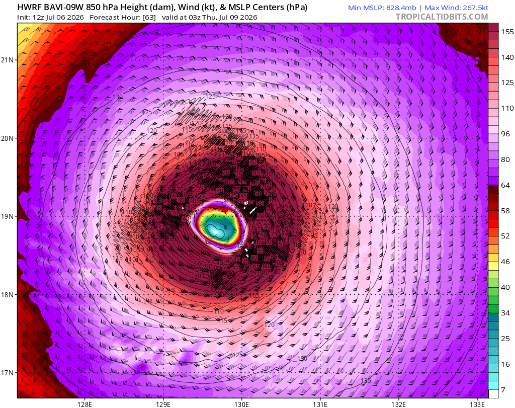
Looks like Typhoon #Bavi broke the HWRF model. Don't think we'll be seeing:
1) Sub-830 hPa pressure
2) 267-knot winds at 850 hPa
3) 89F surface temperature in the eyewall
It looks like a similar instability to #Mangkhut a few years back, though so far the model hasn't crashed.