@MCantow@bearhunt11@dondude Yeah, definitely. I was working on another script earlier that to find intersections between 8km sightlines and windmills (similar to Bear Hunt's blog). This was just a proof of concept for matching sun azimuths/road bearings. I just can't stand to look at the screen anymore.
@bearhunt11@MCantow@dondude So I managed this. Bear in mind that it is using the entire motorway network that fit within the 8k radius of wind generators, not just the bridge portions. And I was able to go from 16,000 road segments to ~ 2000.
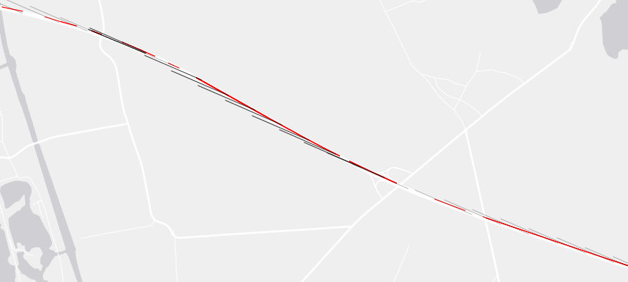
@bearhunt11@MCantow@dondude This time it was possible to narrow down locations based on bridges, but I am wondering if it is feasible to do the same for an entire road network, and narrow down locations based on the angle of intersection between azimuth and road...🤔
@bearhunt11@MCantow@dondude Thanks, also saw your post about OSM filtering methodology a few days ago. Nice.
I'm just working on a script to get the accurate azimuth based on the random points generated.
@MCantow@dondude The azimuth can probably be adjust programatically according to location, making this (potentially) useful for wide areas. Again, with more work can be used to find intersections with other nodes/polygons, as well as (maybe) finding road segments.
@MCantow@dondude 4. In layer properties- add new Vector Field Marker
5. Set Length/Angle columns
6. Use map units for distance (3857 projection in meters)
@MCantow@dondude@bearhunt11 Yes, thanks. I saw this post before, but hadn't really read it. Wondering if it is a solution to create points on lines, and then create sight lines at 295 az for each point, could go further and create polys to check for intersections. Maybe a simple/helpful solution.