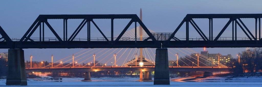
The TCH through the Kicking Horse Canyon is now a wider, safer four-lane divided highway with the opening of the new westbound lanes this morning. This marks substantial completion of this amazing project, with final work completed next spring @TranBC https://t.co/cG4k98ENQG
Fly over #KickingHorseCanyon, via drone video: https://t.co/AH5bNXVOcj
The last narrow, two-lane section has been transformed!
All four lanes of the divided highway will be in operation by early December -- a smoother, safer trip for travellers on #BCHwy1.
Major safety upgrades through #KickingHorseCanyon are nearing completion!🎉
By early December, people travelling #BCHwy1 will have a smoother, safer trip on the new, four-lane divided stretch. Some delays, nighttime closures until then.
News release: https://t.co/IgfwKky4wo
Today we announced that the Kicking Horse Canyon project is nearing completion. Soon, commuters will be able to drive safely & efficiently along this newly expanded hwy. Big thanks to the contractors & workers for all their work on this challenging project https://t.co/CuTs9KSKLn
The Kicking Horse Canyon project is nearing completion thanks in large part to herculean efforts by the highly skilled members of BC Building Trades unions. Congratulations to everyone involved! https://t.co/eIhcVrDTGI
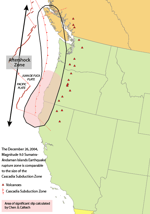
On Jan. 26, 1700 CE at 9 p.m. PST, 1,000 kilometres of fault ruptured on the Pacific Coast, slipping 20 meters and creating an 8.7-9.2 earthquake.
This is the story of the Cascadia Earthquake that tore through the B.C. coast.
It was on that day when a megathrust earthquake involving the Juan de Fuca Plate occurred, running from Vancouver Island down to northern California.
The earthquake is often linked to the Tseax Cone eruption near Terrace, BC. Evidence shows a major lava flow from the volcano between 1668 and 1714. This eruption dammed the Tseax River and formed Lava Lake. The lava flow travelled 11 kilometres and filled the valley floor for ten kilometres. It is believed 2,000 Nisga'a People died from poisonous smoke and volcanic gases.
Numerous oral histories from the Indigenous People of the BC coast tell of the immense earthquake. Nearly every Indigenous Nation in the area has a traditional story telling of the event.
The Huu-ay-aht tell of a large earthquake and wave that destroyed their settlements at the Pachena Bay where they were wintering. The residents of the settlement were sleeping when it hit.
The only community on Pachena Bay not wiped out was Masit, which was 75 feet above sea level on a mountainside. It was said that the only person to survive the earthquake was a woman named Anacla aq sop, who was staying in the sheltered Barkley Sound.
The Kwakwaka'wakw tell of a nighttime earthquake that caused all the buildings in the settlement to collapse.
The Cowichan stories speak of a landslide that buried an entire village.
Within mythology, artwork depicts the quake as a battle between a thunderbird and a whale.
So, how do we know the exact date and time? There are a couple of reasons.
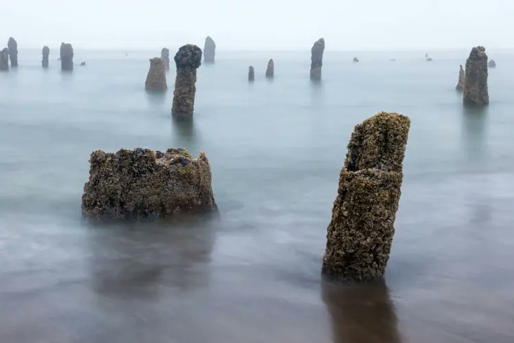
First, there are the ghost forests along the coast that were lowered into the tidal zone by the earthquake, killing the forests but leaving stumps.
Second, sediment layers in this locations show that there was a seismic event. Archeological research in the region has also unearthed coastal Indigenous villages that were flooded and abandoned around 1700 CE.
Lastly, a few hours after the earthquake, a tsunami hit Japan. The Japanese tsunami records allowed for a pinpointing of the time of the earthquake across the Pacific Ocean.
If you enjoy my Canadian history content, please consider donating to Canadian History Ehx at https://t.co/u12Dmz8vKv
Sources:
https://t.co/P8uv10a8OP
https://t.co/LZ52ggqb8M
https://t.co/Q5SD4g0nQR
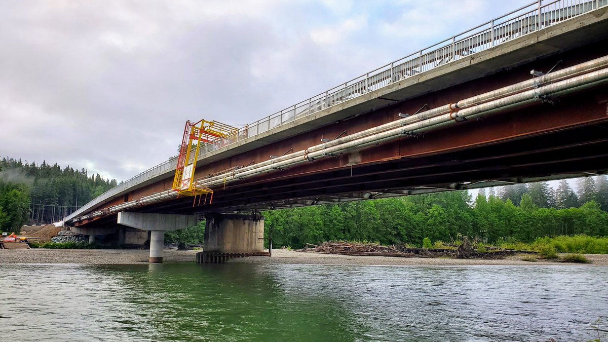
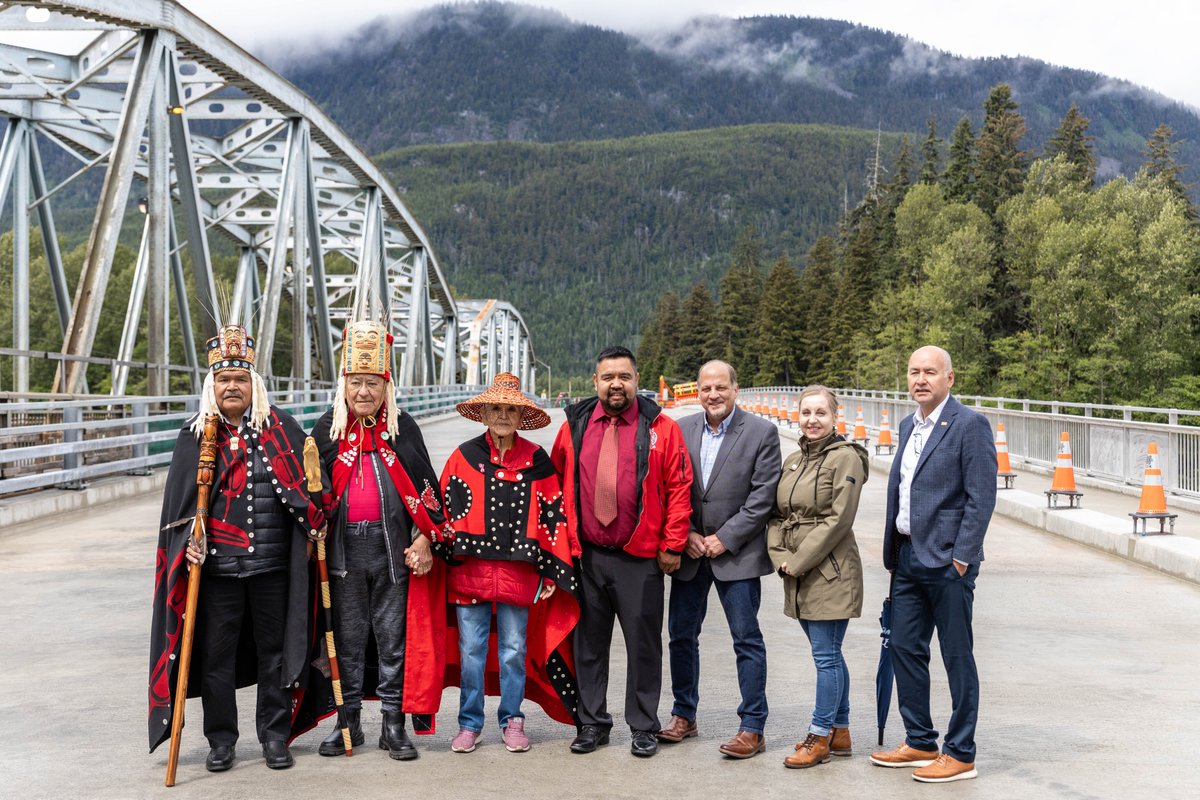
We had a wonderful day celebrating our Haisla Bridge on June 17. We appreciate everyone who joined us this day, and we are thankful for the support of this project from @PacifiCanEN
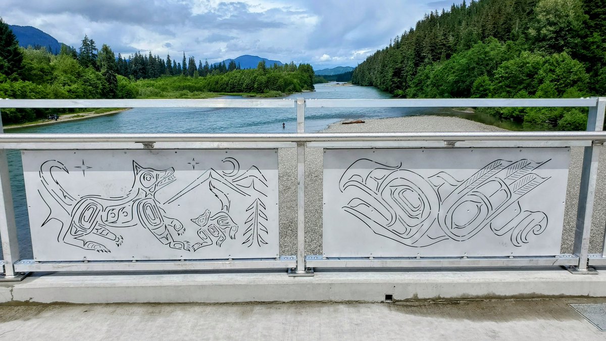
A unique feature are the 8 art panels along the sidewalk fence, each representing one of the Haisla clans. The art was designed by Haisla artists Paul Windsor & Nathan Wilson. After months of planning, @WSPCanada's Thien Tong and I were thrilled to meet Paul in person.
@WSPCanada was thrilled to join the @KitimatDistrict, @Haisla_Nation and many others for the June 17 opening ceremony of the #Haisla#Bridge in Kitimat, BC. As the Owner's Engineer, WSP has worked closely with the District these past 3 years to deliver this important project.
@SEABC is very pleased to present a 1/2 day course on Performance-Based #Seismic Design of #Bridges. June 26 from 1-5pm PDT with key updates for both #Canada and #NewZealand. Includes "sneak peak" of the major changes to S6-25. Webcast available! https://t.co/cFstdT3FHF.
@SEABC is very pleased to present a 1/2 day course on Performance-Based #Seismic Design of #Bridges. June 26 from 1-5pm PDT with key updates for both #Canada and #NewZealand. Includes "sneak peak" of the major changes to S6-25. Webcast available! https://t.co/cFstdT3FHF.
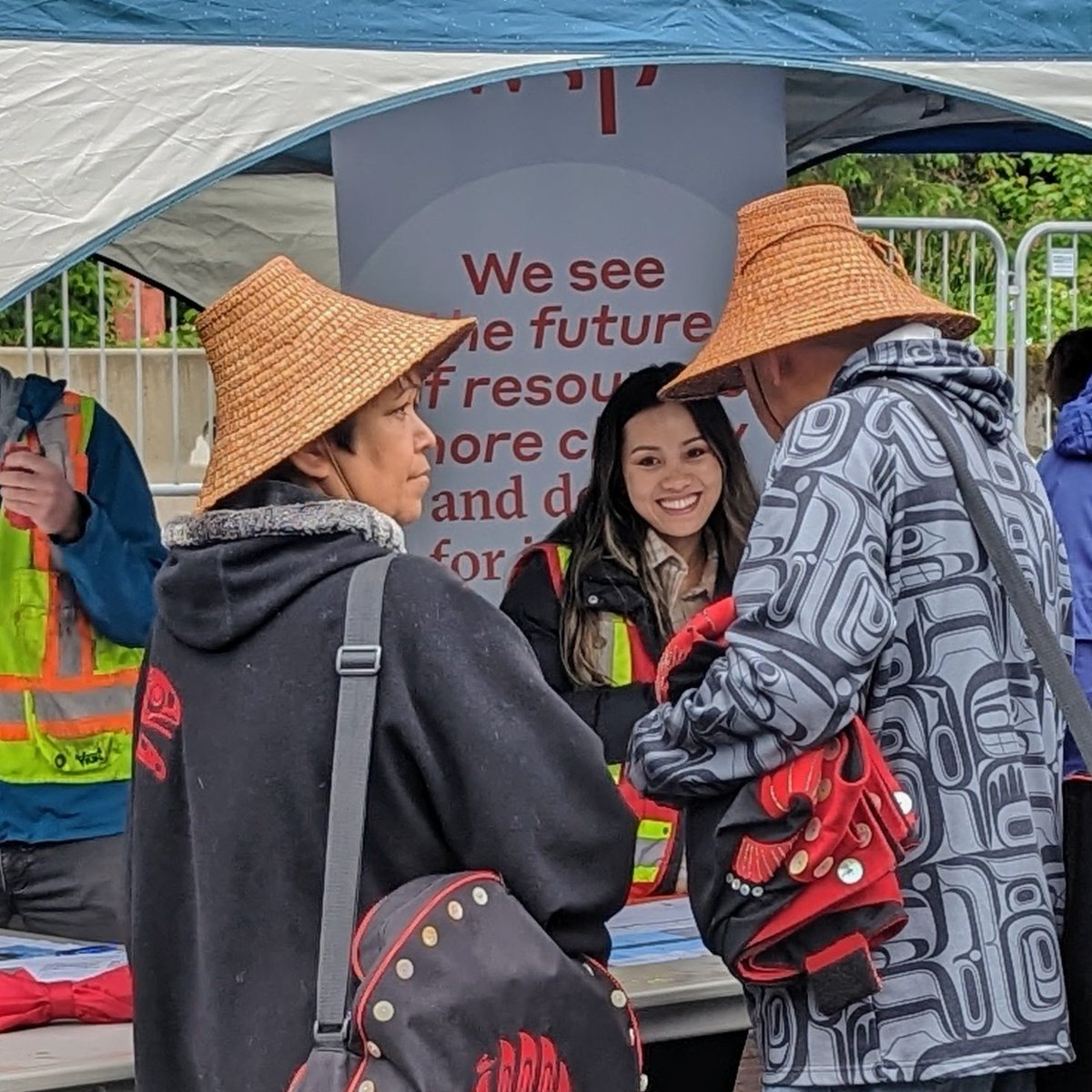
@WSPCanada is very proud to have worked with @KitimatDistrict these past three years to help make the new #Haisla#Bridge a reality. On June 17, please stop by the "Ask the #Engineer!" tent and say hi!
The Haisla Bridge Project is coming to an end, and we want to celebrate with you! The public is invited to join a special ribbon cutting event at the new bridge. Taking place June 17 at 11:00 a.m. Please park at the Riverlodge parking lot and a shuttle will pick you up.
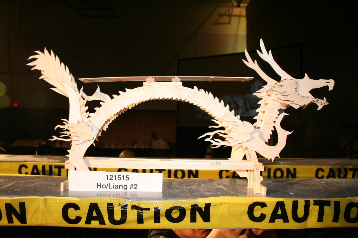
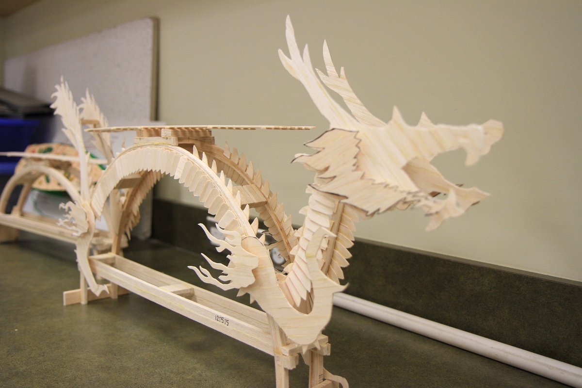
Gearing up for the 43rd annual Physics Balsa Bridge Building Contest here in Vancouver. Here's one of the amazing entries from a few years back. Voted 1st Place for Workmanship and Design, as well as 1st Place for Most Attractive Bridge. @ASTTBC@vancouverkeith@EngGeoBC
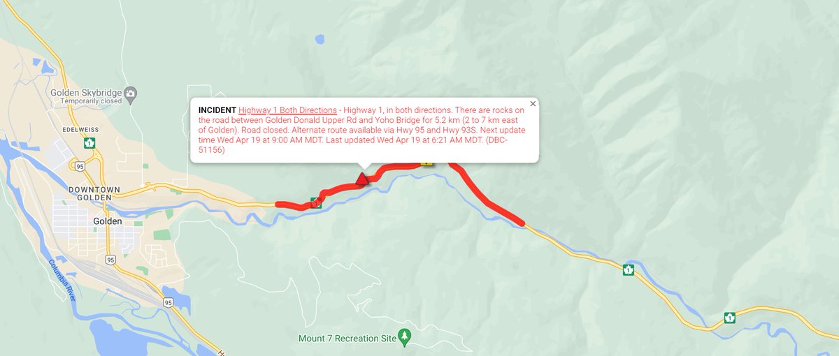
⛔ CLOSED - #BCHwy1 will remain closed east of #GoldenBC past the scheduled opening of the #KickingHorseCanyon due to rocks on the road.
Next update: 9 AM MDT.
Alternate route available via #BCHwy95 and #BCHwy93
ℹ️ For more info:
https://t.co/BFihIo3ZvK
@511Alberta