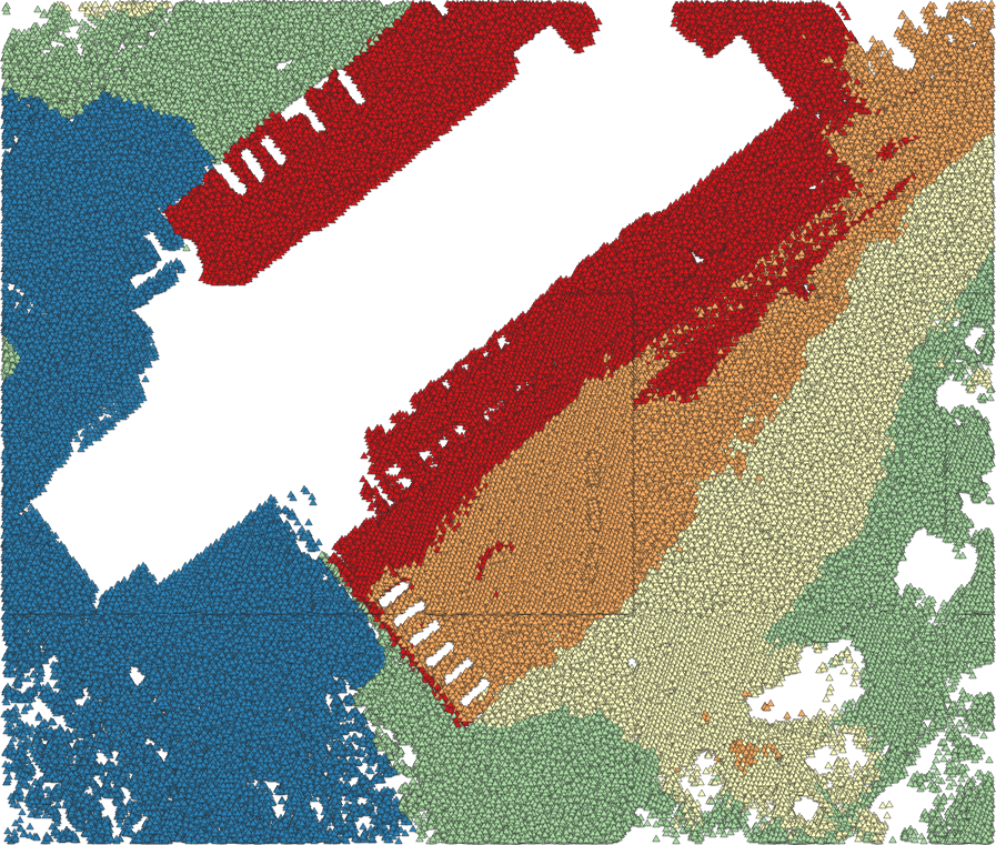
If you would like to learn how to work with point cloud data in QGIS, we will be having a 1-day training session on December the 14th, 2023 from 0900 - 1700 CET. We will also be joined by Martin Dobias, a QGIS developer for point cloud, for a 1-hour Q&A.
https://t.co/DGmPtbNIGT
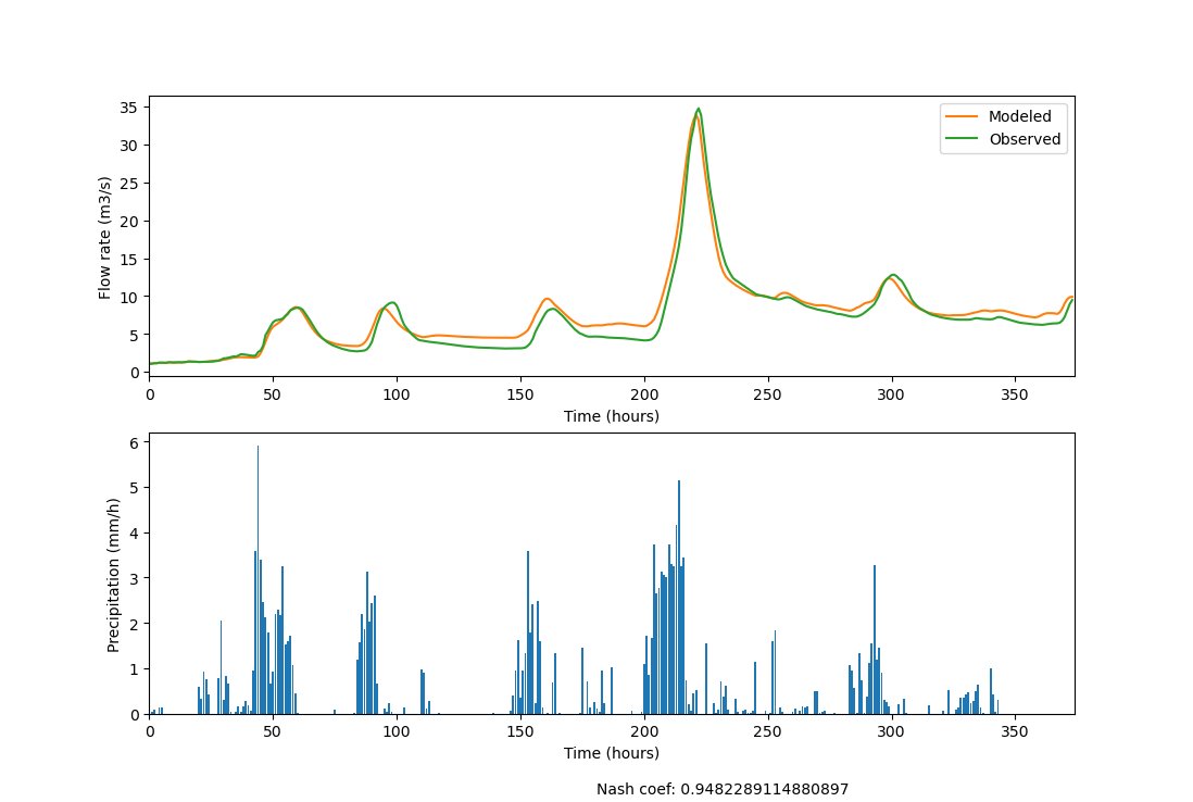
Deep Learning et débits de cours d'eau, première exploration https://t.co/wViNz2npWm via @LinkedIn
(merci @AerisData pour les données de pluies)
Want to know more about LIDAR processing in the upcoming #QGIS? Join the webinar on Monday, June 26, 2023 at 14:00 GMT with Martin Dobias, our CTO to learn more:
https://t.co/eE1MgEd4fX
New corrective version (2.3.3) of #Lekan is available to download here: https://t.co/y2JadsFClm
Some dynamic traces and 3D issues are fixed.
Thanks for users that report it, please continue to report bugs here: https://t.co/jiUrw5XMKz
With our latest work, @QGIS will be multi-threaded for loading data sources in parallel when opening a project. This will reduce the load time for projects with 100s of layers significantly.
With this blog article(https://t.co/b9eTl8ROxV), you can see how a 2D model is quickly built and associated with an remote hydrograph with #Lekan 2.3
See also how it is possible to setup, real time flood warning system alert with the Reos Python API (soon available)
As a multi hazard monitoring agency, having #MDAL available as part of @qgis is incredibly powerful for us at @Vedurstofan. We can drag and drop our GRIBs straight from the source and visualize the latest weather forecast.
Thanks @lutraconsulting 🙏♥️