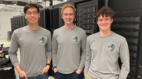
Congrats to Sydney Fuhrig ’21 for receiving the Dr. Marilyn O’Hara Ruiz Young Professional Scholarship, which supports participation in @URISA 's GIS-Pro conference. At W&M, she worked at @WMgeoLab and served as managing director of the geoBoundaries team. https://t.co/SFuEHuaA78
In honor of April being Undergraduate Research Month at W&M, students express their appreciation for IT’s assistance with their projects.
Read More: https://t.co/ndESOLUsXc
#wmResearch
What can #GEOINT tell us about the goals of China’s ‘Made in China 2025’ plan? A new #NGATearline project partners with @williamandmary's @wmgeolab to analyze activity in the Beijing Economic-Technological Development Area: https://t.co/EaDmBbkmSB
Teamwork makes the open intelligence mission work. NGA recently teamed with @wmgeolab on a #Tearline project studying China's Belt and Road Initiative in Latin America. Learn more: https://t.co/U2ekCOndr1 #intelligence#teamwork@williamandmary
Giving to the geoLab helps support student salaries so undergraduates can continue to be recognized for their work! #OneTribeOneDay
Link to our giving page: https://t.co/iCPFWcvt0q
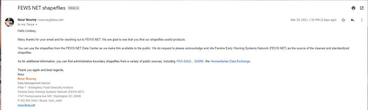
Brilliant to see this application of @WMgeoLab’s geoBoundaries project, which provides a huge public service in producing open-source, downloadable administrative boundaries. See also an application in the dimensional snapshots of #StatesofFragility2020: https://t.co/ChYiYrZtqn.
#ICYMI: We released our new #CreativityInCrisis video on @WMgeoLab's geoBoundaries, the world's largest open and free research-ready database of political administrative boundaries.
Learn how it's being used to assist development & humanitarian efforts: https://t.co/yqhBmVWJQR
We are very excited to share geoLab's 2020 Annual Report! From the release of geoBoundaries 3.0 to huge growth in student contributions toward international reports, publications, and projects, geoLab had its best year yet.
Read the annual report: https://t.co/6NmHdds0hN
This summer, geoParsing’s BRIGHT team published two papers on Chinese development in the Bahamas and Cuba. Written by Caroline Morin ’22, the papers were on the front page of the @inteldotgov website for over a month. @NGA_GEOINT
Read more: https://t.co/IAknxlEM4t
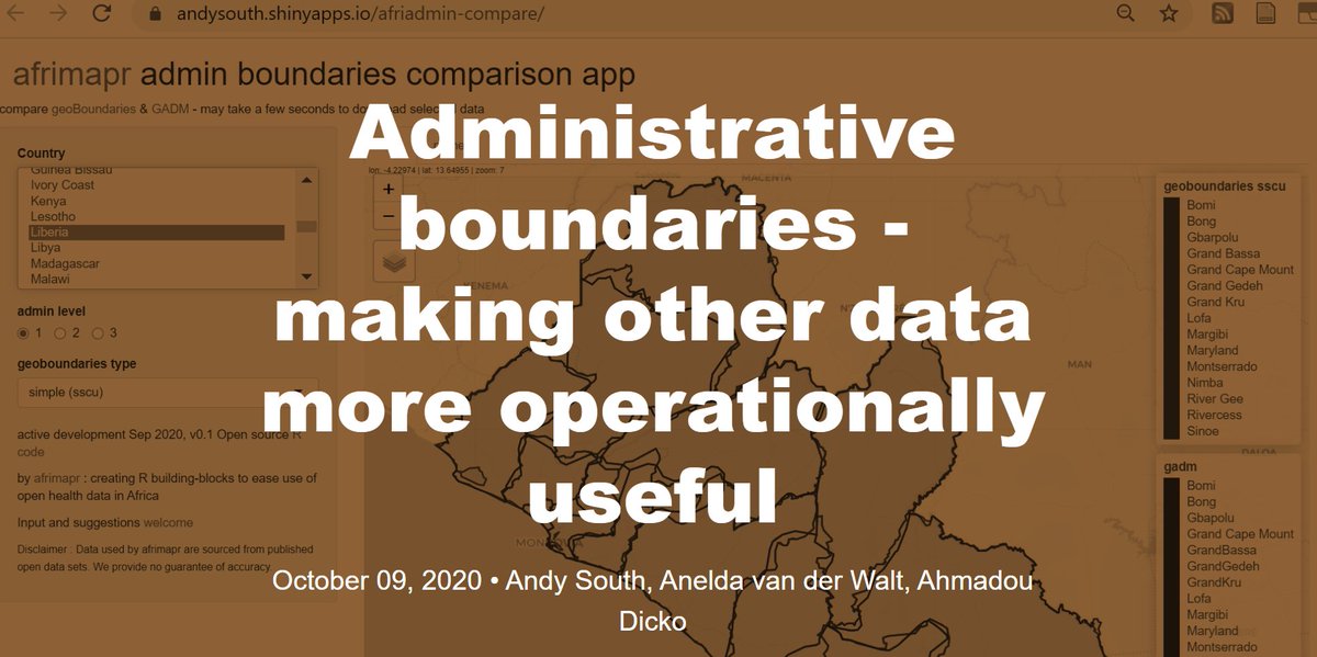
Administrative boundaries - making other data more operationally useful. A blog explaining motivations behind our efforts to improve access to sub-national admin boundaries for African countries from #rstats#rspatial https://t.co/latd7Eo59e
geoLab's recently launched #roadRunner project asks teams from six Virginia universities to evaluate road quality from #satelliteimagery and compete to build the best convolution neural network.
Check out our latest news story on the project! @cyber_cci
https://t.co/tCyHEHfcva
Compare sub-national administrative boundary #opendata for Africa from #geoBoundaries and #GADM using #rspatial afriadmin package https://t.co/V17PddN11y incl app: https://t.co/zMNtWd1ZO4 How can we improve ?
Looking for a new source for academic and scholarly research? @WMgeoLab has created a database of political administrative boundaries: https://t.co/PsIdnfTpDC
Make sure to also check out this @ClouderaFnd blog post written by #geoBoundaries team members Sydney Fuhrig, Josh Panganiban, and Sylvia Shea! #geoLab
https://t.co/gbvZHz7NYt