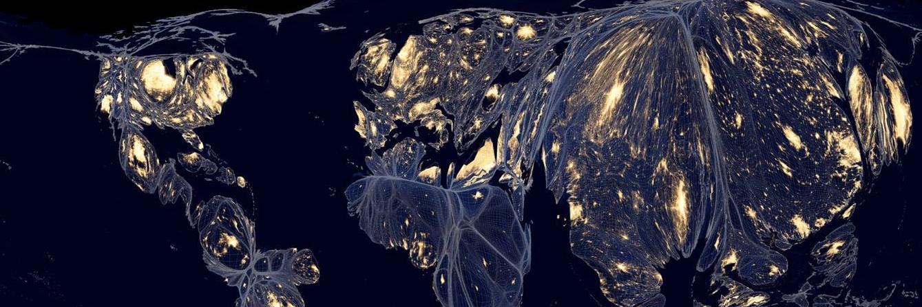
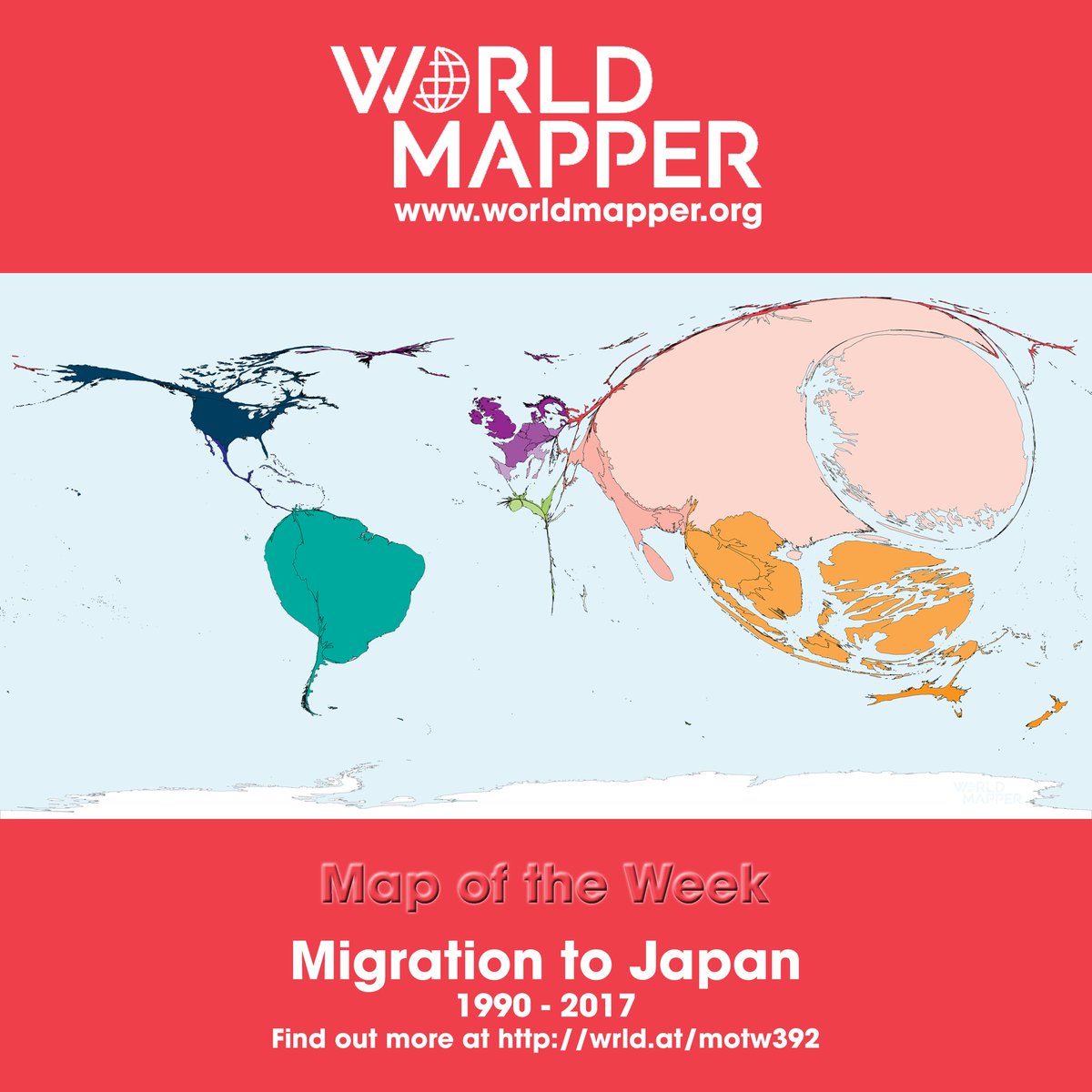
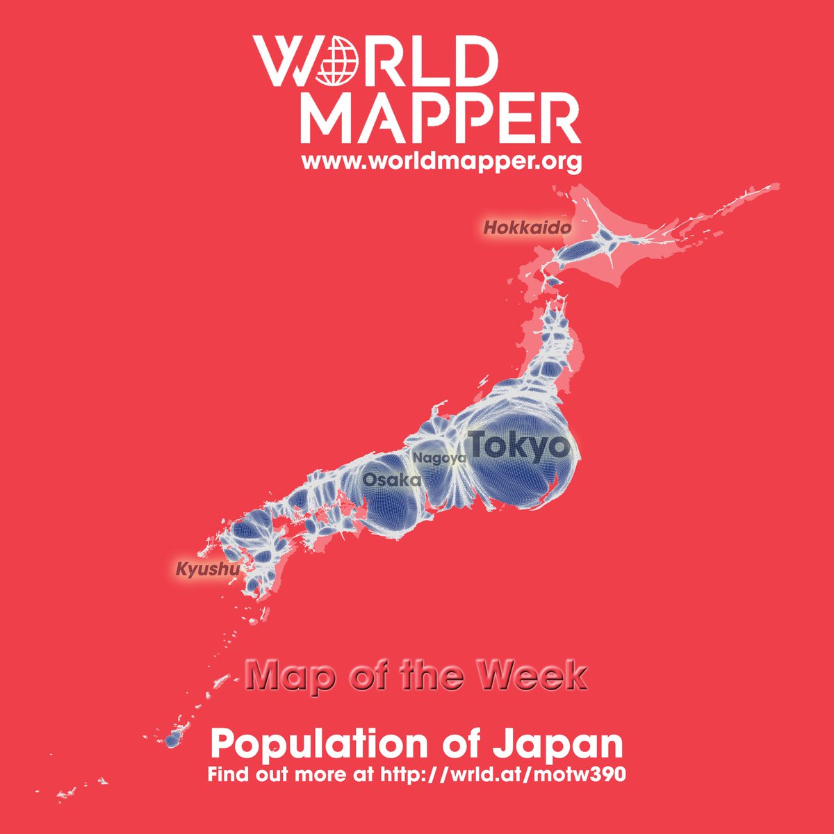
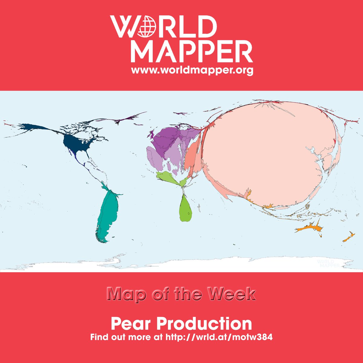
Worldmapper creates cartograms that resize map areas based on data like population for better visualization—it's a standard technique, not deceptive manipulation. Their US election map uses official vote data to show people, not land, voting patterns. Sources like BBC and academic projects back their methods.