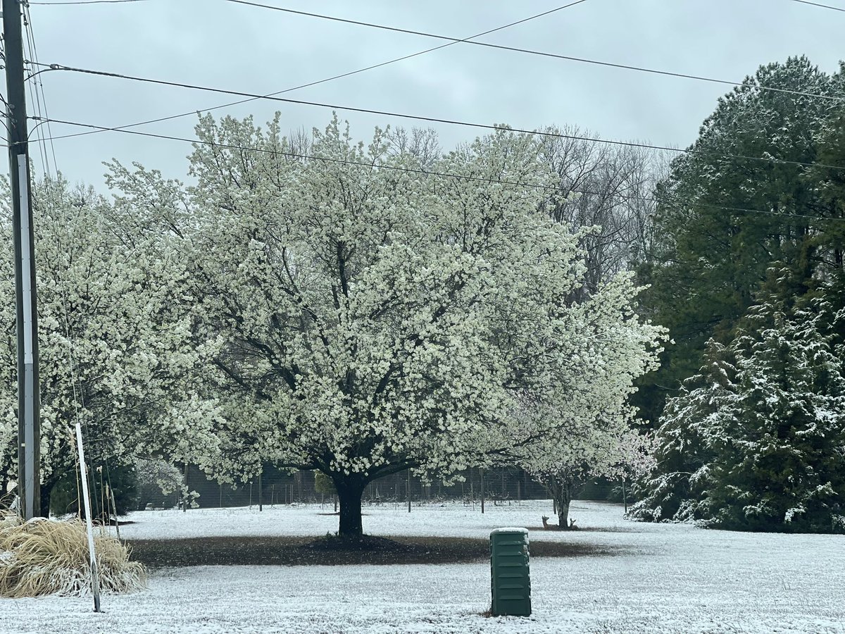
The snow rates yesterday were INSANE! I mean snow was probably falling at 2”/hr rates…which needed to happen to overcome the warm ground temps and midday March sun angle
The level of rarity to get an earliest ever record high temp of 89F followed by 2” of snow the next day (in the middle of the afternoon with the March sun angle no less) is truly remarkable and historic!
Richmond (KRIC) went from 89F (record earliest 89F degree temp ever) at 3:53PM yesterday to 32F and snowing at 2:51PM today. That’s a change of 57 degrees in <24 hours (23 hours)!
March 23-24, 2018 snowfall compared to the current winter weather headlines. A very similar track. It will be interesting to compare what happens with the current clipper once it’s over.
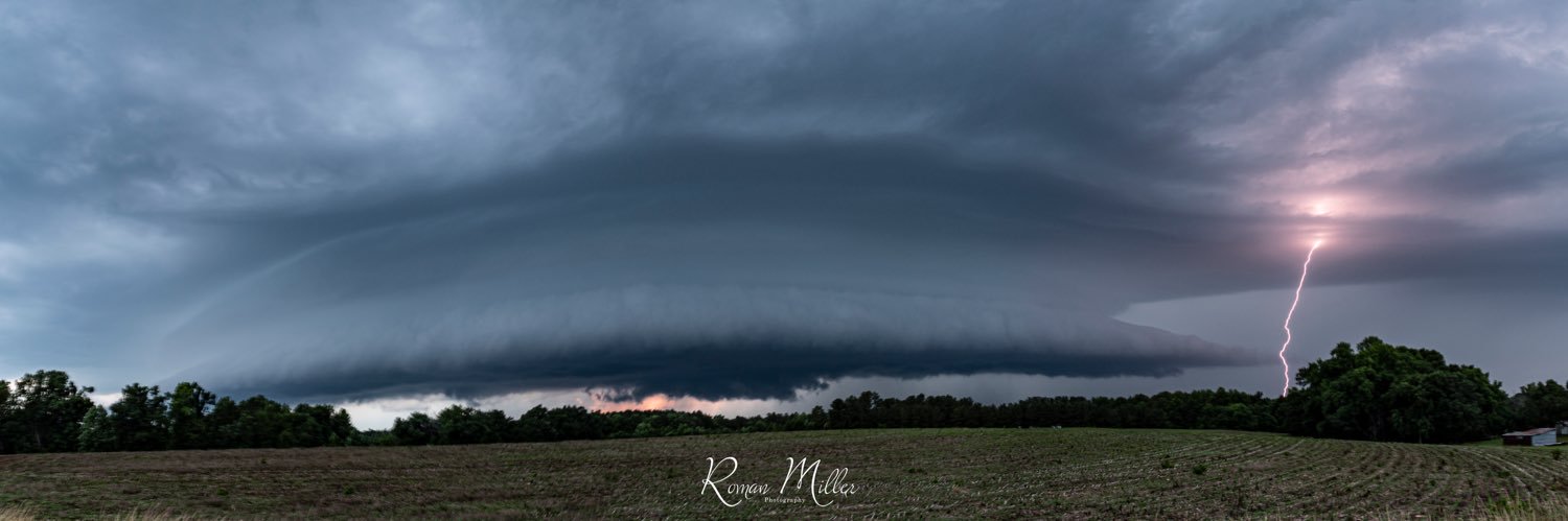
6 tornadoes, sig hail (including finding a 3.75” hailstone), numerous supercells, and 17 EAS alerts (9 tornado warnings, 7 destructive severe thunderstorm warnings, and 1 considerable flash flood warning)…yeah I’d say the past 3 days have been pretty crazy